Moreuil (Moreuil)
- commune in Somme, France
- Country:

- Postal Code: 80110
- Coordinates: 49° 46' 28" N, 2° 28' 59" E


- GPS tracks (wikiloc): [Link]
- Area: 23.43 sq km
- Population: 4007
- Web site: http://www.moreuil.com
- Wikipedia en: wiki(en)
- Wikipedia: wiki(fr)
- Wikidata storage: Wikidata: Q115426
- Wikipedia Commons Category: [Link]
- Freebase ID: [/m/03qmqhf]
- GeoNames ID: Alt: [2991839]
- SIREN number: [218005379]
- BnF ID: [15277046n]
- VIAF ID: Alt: [239093322]
- INSEE municipality code: 80570
Shares border with regions:


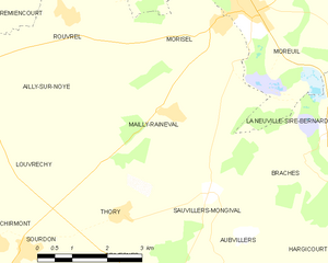
Mailly-Raineval
- commune in Somme, France
- Country:

- Postal Code: 80110
- Coordinates: 49° 44' 44" N, 2° 27' 15" E


- GPS tracks (wikiloc): [Link]
- Area: 14.3 sq km
- Population: 287


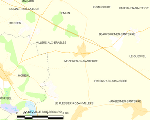
Mézières-en-Santerre
- commune in Somme, France
- Country:

- Postal Code: 80110
- Coordinates: 49° 47' 10" N, 2° 33' 18" E


- GPS tracks (wikiloc): [Link]
- Area: 10.71 sq km
- Population: 578


Morisel
- commune in Somme, France
- Country:

- Postal Code: 80110
- Coordinates: 49° 46' 10" N, 2° 28' 30" E


- GPS tracks (wikiloc): [Link]
- Area: 6.43 sq km
- Population: 509


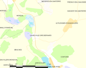
La Neuville-Sire-Bernard
- commune in Somme, France
- Country:

- Postal Code: 80110
- Coordinates: 49° 44' 31" N, 2° 30' 54" E


- GPS tracks (wikiloc): [Link]
- AboveSeaLevel: 54 м m
- Area: 4.18 sq km
- Population: 278
- Web site: [Link]


Hailles
- commune in Somme, France
- Country:

- Postal Code: 80110
- Coordinates: 49° 48' 20" N, 2° 26' 20" E


- GPS tracks (wikiloc): [Link]
- Area: 5.07 sq km
- Population: 421
- Web site: [Link]


Braches
- commune in Somme, France
- Country:

- Postal Code: 80110
- Coordinates: 49° 43' 59" N, 2° 30' 23" E


- GPS tracks (wikiloc): [Link]
- Area: 7.21 sq km
- Population: 254


Rouvrel
- commune in Somme, France
- Country:

- Postal Code: 80250
- Coordinates: 49° 46' 15" N, 2° 24' 44" E


- GPS tracks (wikiloc): [Link]
- Area: 7.16 sq km
- Population: 302


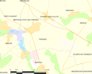
Thennes
- commune in Somme, France
- Country:

- Postal Code: 80110
- Coordinates: 49° 48' 39" N, 2° 28' 14" E


- GPS tracks (wikiloc): [Link]
- Area: 8 sq km
- Population: 506


Villers-aux-Érables
- commune in Somme, France
- Country:

- Postal Code: 80110
- Coordinates: 49° 47' 15" N, 2° 32' 13" E


- GPS tracks (wikiloc): [Link]
- Area: 4.34 sq km
- Population: 126
- Web site: [Link]
