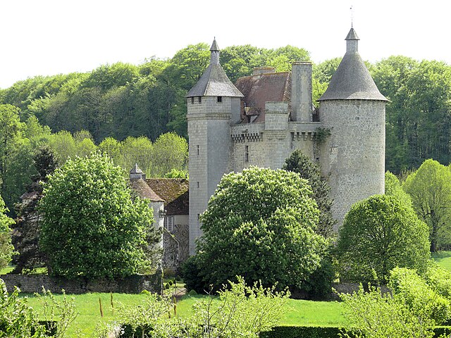
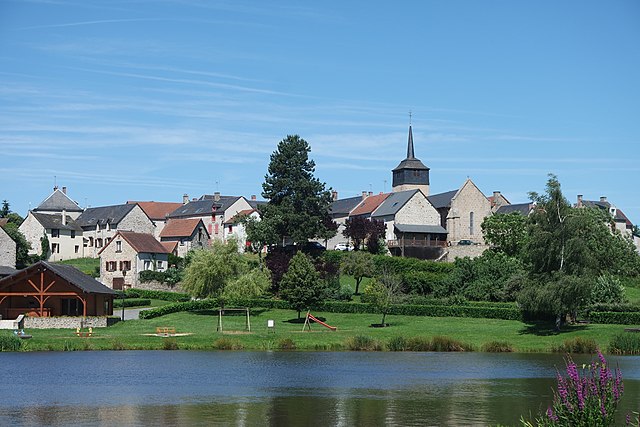
Moutier-d'Ahun (Moutier-d'Ahun)

- commune in Creuse, France
- Country:

- Postal Code: 23150
- Coordinates: 46° 5' 30" N, 2° 3' 18" E


- GPS tracks (wikiloc): [Link]
- Area: 9.91 sq km
- Population: 176
- Web site: http://www.moutier-d-ahun.fr/Moutier_dAhun/Accueil.html
- Wikipedia en: wiki(en)
- Wikipedia: wiki(fr)
- Wikidata storage: Wikidata: Q1016171
- Wikipedia Commons Category: [Link]
- Freebase ID: [/m/03mfjy8]
- Freebase ID: [/m/03mfjy8]
- GeoNames ID: Alt: [6429230]
- GeoNames ID: Alt: [6429230]
- SIREN number: [212313803]
- SIREN number: [212313803]
- BnF ID: [152515256]
- BnF ID: [152515256]
- VIAF ID: Alt: [249398473]
- VIAF ID: Alt: [249398473]
- PACTOLS thesaurus ID: [pcrtL8ZULfF1wy]
- PACTOLS thesaurus ID: [pcrtL8ZULfF1wy]
- SUDOC authorities ID: [032409516]
- SUDOC authorities ID: [032409516]
- INSEE municipality code: 23138
- INSEE municipality code: 23138
Shares border with regions:

Saint-Pardoux-les-Cards
- commune in Creuse, France
- Country:
- Postal Code: 23150
- Coordinates: 46° 4' 57" N, 2° 7' 13" E
- GPS tracks (wikiloc): [Link]
- Area: 24.76 sq km
- Population: 295


Lavaveix-les-Mines
- commune in Creuse, France
- Country:
- Postal Code: 23150
- Coordinates: 46° 4' 16" N, 2° 5' 20" E
- GPS tracks (wikiloc): [Link]
- Area: 4.71 sq km
- Population: 683

Ahun
- commune in Creuse, France
- Country:
- Postal Code: 23150
- Coordinates: 46° 5' 11" N, 2° 2' 42" E
- GPS tracks (wikiloc): [Link]
- Area: 33.74 sq km
- Population: 1448

Cressat
- commune in Creuse, France
- Country:
- Postal Code: 23140
- Coordinates: 46° 8' 23" N, 2° 6' 30" E
- GPS tracks (wikiloc): [Link]
- Area: 33.41 sq km
- Population: 554

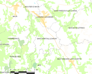
Saint-Martial-le-Mont
- commune in Creuse, France
- Country:
- Postal Code: 23150
- Coordinates: 46° 2' 58" N, 2° 5' 36" E
- GPS tracks (wikiloc): [Link]
- Area: 10.25 sq km
- Population: 244