Ahun (Ahun)
- commune in Creuse, France
- Country:

- Postal Code: 23150
- Coordinates: 46° 5' 11" N, 2° 2' 42" E


- GPS tracks (wikiloc): [Link]
- Area: 33.74 sq km
- Population: 1448
- Wikipedia en: wiki(en)
- Wikipedia: wiki(fr)
- Wikidata storage: Wikidata: Q193133
- Wikipedia Commons Category: [Link]
- Freebase ID: [/m/02pqs7k]
- Freebase ID: [/m/02pqs7k]
- GeoNames ID: Alt: [3038562]
- GeoNames ID: Alt: [3038562]
- SIREN number: [212300107]
- SIREN number: [212300107]
- BnF ID: [15251389w]
- BnF ID: [15251389w]
- VIAF ID: Alt: [248293540]
- VIAF ID: Alt: [248293540]
- Library of Congress authority ID: Alt: [n95085231]
- Library of Congress authority ID: Alt: [n95085231]
- Pleiades ID: [138167]
- Pleiades ID: [138167]
- INSEE municipality code: 23001
- INSEE municipality code: 23001
Shares border with regions:


Pionnat
- commune in Creuse, France
- Country:

- Postal Code: 23140
- Coordinates: 46° 10' 15" N, 2° 1' 31" E


- GPS tracks (wikiloc): [Link]
- Area: 41.77 sq km
- Population: 766
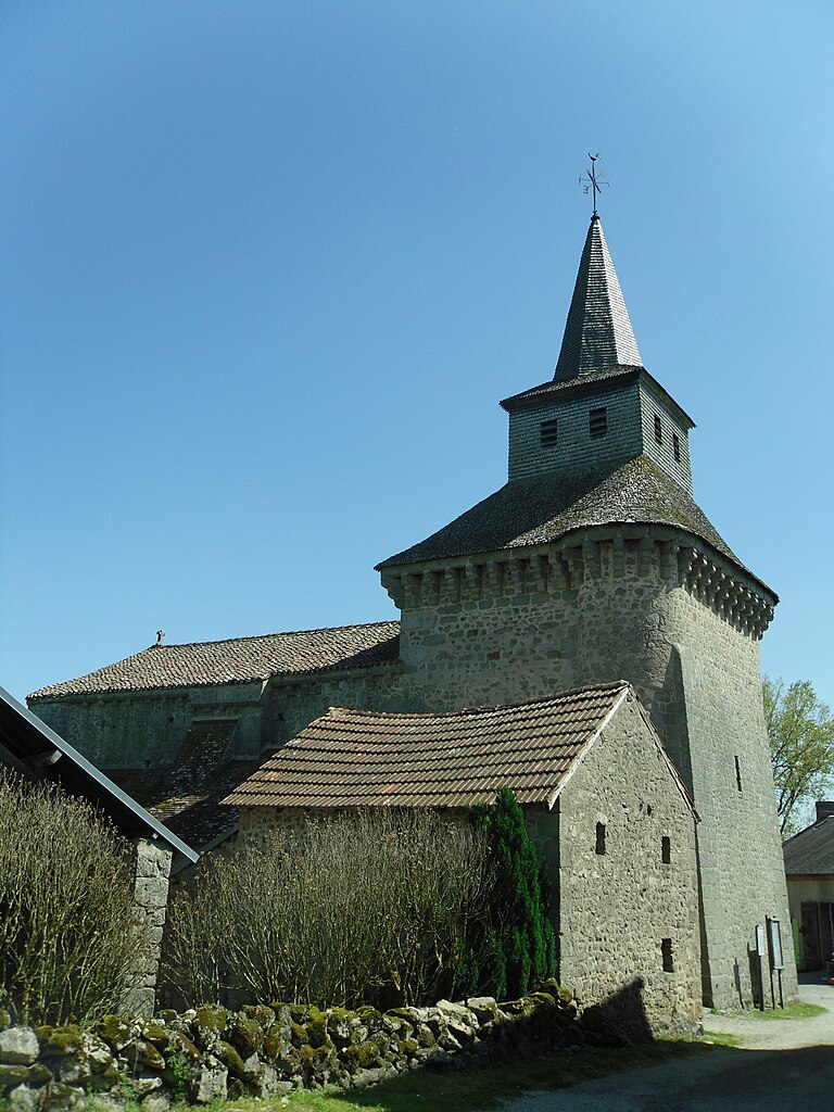

Saint-Hilaire-la-Plaine
- commune in Creuse, France
- Country:

- Postal Code: 23150
- Coordinates: 46° 7' 31" N, 1° 58' 35" E


- GPS tracks (wikiloc): [Link]
- Area: 11.06 sq km
- Population: 212


Le Donzeil
- commune in Creuse, France
- Country:

- Postal Code: 23480
- Coordinates: 46° 1' 40" N, 1° 59' 11" E


- GPS tracks (wikiloc): [Link]
- Area: 13.54 sq km
- Population: 188


Moutier-d'Ahun
- commune in Creuse, France
- Country:

- Postal Code: 23150
- Coordinates: 46° 5' 30" N, 2° 3' 18" E


- GPS tracks (wikiloc): [Link]
- Area: 9.91 sq km
- Population: 176
- Web site: [Link]

Saint-Yrieix-les-Bois
- commune in Creuse, France
- Country:

- Postal Code: 23150
- Coordinates: 46° 5' 59" N, 1° 56' 18" E


- GPS tracks (wikiloc): [Link]
- Area: 15.7 sq km
- Population: 288


Sous-Parsat
- commune in Creuse, France
- Country:

- Postal Code: 23150
- Coordinates: 46° 3' 20" N, 1° 58' 47" E


- GPS tracks (wikiloc): [Link]
- Area: 9.14 sq km
- Population: 120
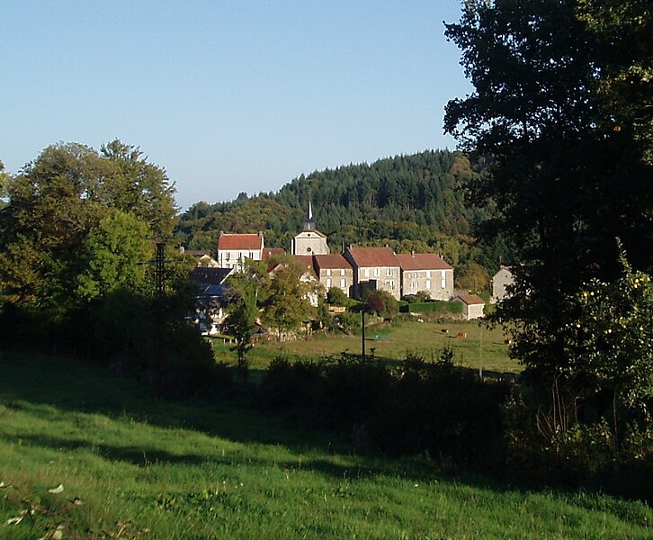

Fransèches
- commune in Creuse, France
- Country:

- Postal Code: 23480
- Coordinates: 46° 1' 7" N, 2° 2' 59" E


- GPS tracks (wikiloc): [Link]
- Area: 18.29 sq km
- Population: 242
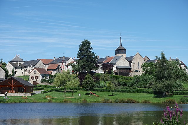

Cressat
- commune in Creuse, France
- Country:

- Postal Code: 23140
- Coordinates: 46° 8' 23" N, 2° 6' 30" E


- GPS tracks (wikiloc): [Link]
- Area: 33.41 sq km
- Population: 554

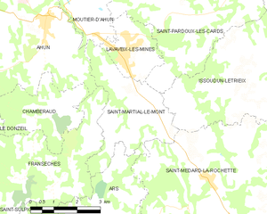
Saint-Martial-le-Mont
- commune in Creuse, France
- Country:

- Postal Code: 23150
- Coordinates: 46° 2' 58" N, 2° 5' 36" E


- GPS tracks (wikiloc): [Link]
- Area: 10.25 sq km
- Population: 244

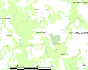
Chamberaud
- commune in Creuse, France
- Country:

- Postal Code: 23480
- Coordinates: 46° 2' 56" N, 2° 2' 44" E


- GPS tracks (wikiloc): [Link]
- Area: 7.44 sq km
- Population: 101
Mazeirat
- commune in Creuse, France
- Country:

- Postal Code: 23150
- Coordinates: 46° 8' 32" N, 1° 58' 52" E


- GPS tracks (wikiloc): [Link]
- Area: 7.8 sq km
- Population: 139
