Moutiers (Moutiers)

- commune in Eure-et-Loir, France
- Country:

- Postal Code: 28150
- Coordinates: 48° 17' 50" N, 1° 46' 36" E


- GPS tracks (wikiloc): [Link]
- Area: 21.2 sq km
- Population: 256
- Wikipedia en: wiki(en)
- Wikipedia: wiki(fr)
- Wikidata storage: Wikidata: Q1362121
- Wikipedia Commons Category: [Link]
- Freebase ID: [/m/03nrlrh]
- GeoNames ID: Alt: [6453917]
- SIREN number: [212802748]
- BnF ID: [152542044]
- VIAF ID: Alt: [235647577]
- Library of Congress authority ID: Alt: [n80066626]
- INSEE municipality code: 28274
Shares border with regions:


Allonnes
- commune in Eure-et-Loir, France
- Country:
- Postal Code: 28150
- Coordinates: 48° 19' 49" N, 1° 39' 25" E
- GPS tracks (wikiloc): [Link]
- Area: 10.25 sq km
- Population: 314

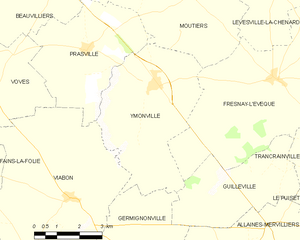
Ymonville
- commune in Eure-et-Loir, France
- Country:
- Postal Code: 28150
- Coordinates: 48° 15' 43" N, 1° 45' 1" E
- GPS tracks (wikiloc): [Link]
- Area: 20.69 sq km
- Population: 491


Beauvilliers
- commune in Eure-et-Loir, France
- Country:
- Postal Code: 28150
- Coordinates: 48° 17' 50" N, 1° 39' 17" E
- GPS tracks (wikiloc): [Link]
- AboveSeaLevel: 146 м m
- Area: 23.05 sq km
- Population: 338