arrondissement of Chartres (arrondissement de Chartres)

- arrondissement of France
- Country:

- Capital: Chartres
- Coordinates: 48° 25' 0" N, 1° 30' 0" E


- GPS tracks (wikiloc): [Link]
- Area: 2130 sq km
- Population: 209215
- Wikipedia en: wiki(en)
- Wikipedia: wiki(fr)
- Wikidata storage: Wikidata: Q700901
- Freebase ID: [/m/095507]
- GeoNames ID: Alt: [3026466]
- INSEE arrondissement code: [281]
- GNS Unique Feature ID: -1418880
Includes regions:


Chartres
- commune in Eure-et-Loir, France
- Country:
- Postal Code: 28000
- Coordinates: 48° 26' 48" N, 1° 29' 18" E
- GPS tracks (wikiloc): [Link]
- AboveSeaLevel: 142 м m
- Area: 16.85 sq km
- Population: 38875
- Web site: [Link]

canton of Voves
- canton of France
- Country:
- Capital: Voves
- Coordinates: 48° 18' 10" N, 1° 38' 23" E
- GPS tracks (wikiloc): [Link]
- Population: 28964

canton of Auneau
- canton of France
- Country:
- Capital: Auneau
- Coordinates: 48° 25' 3" N, 1° 47' 24" E
- GPS tracks (wikiloc): [Link]
- Population: 25099
canton of Mainvilliers
- canton of France (until March 2015)
- Country:
- Capital: Mainvilliers
- Coordinates: 48° 28' 21" N, 1° 24' 17" E
- GPS tracks (wikiloc): [Link]
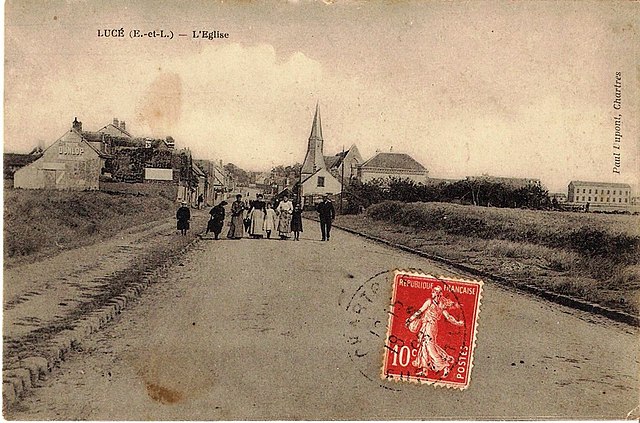
canton of Lucé
- canton of France
- Country:
- Capital: Lucé
- Coordinates: 48° 26' 37" N, 1° 24' 28" E
- GPS tracks (wikiloc): [Link]
- Population: 27658

canton of Courville-sur-Eure
- canton of France (until March 2015)
- Country:
- Capital: Courville-sur-Eure
- Coordinates: 48° 27' 12" N, 1° 15' 13" E
- GPS tracks (wikiloc): [Link]

canton of Illiers-Combray
- canton of France
- Country:
- Capital: Illiers-Combray
- Coordinates: 48° 20' 19" N, 1° 18' 26" E
- GPS tracks (wikiloc): [Link]
- Population: 26739

