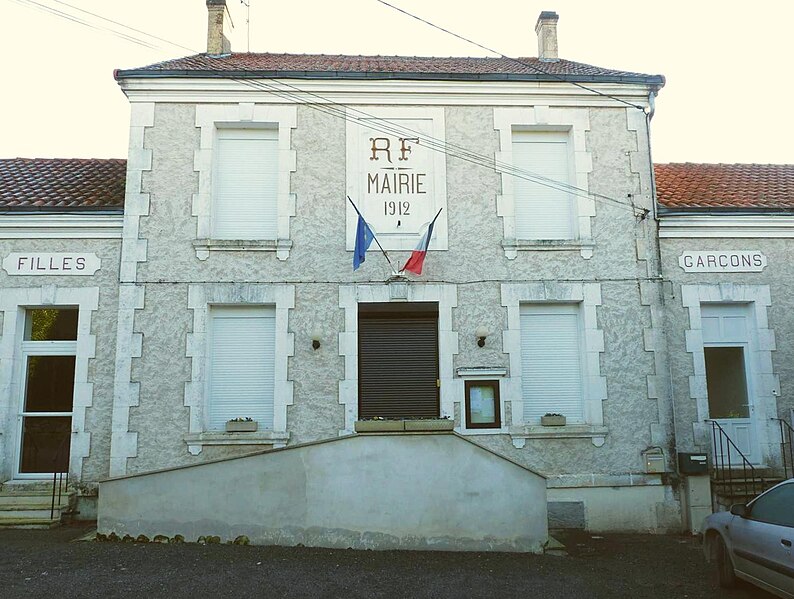
Moutonneau (Moutonneau)

- commune in Charente, France
- Country:

- Postal Code: 16460
- Coordinates: 45° 54' 27" N, 0° 14' 14" E


- GPS tracks (wikiloc): [Link]
- Area: 4.22 sq km
- Population: 107
- Wikipedia en: wiki(en)
- Wikipedia: wiki(fr)
- Wikidata storage: Wikidata: Q1440491
- Wikipedia Commons Category: [Link]
- Freebase ID: [/m/03mccdp]
- GeoNames ID: Alt: [2991309]
- SIREN number: [211602388]
- BnF ID: [152486776]
- INSEE municipality code: 16238
Shares border with regions:

Fontenille
- commune in Charente, France
- Country:
- Postal Code: 16230
- Coordinates: 45° 54' 59" N, 0° 9' 54" E
- GPS tracks (wikiloc): [Link]
- Area: 9.52 sq km
- Population: 335


Aunac
- former commune in Charente, France
- Country:
- Postal Code: 16460
- Coordinates: 45° 55' 4" N, 0° 14' 28" E
- GPS tracks (wikiloc): [Link]
- Area: 4.77 sq km
- Population: 336
- Web site: [Link]


Bayers
- former commune in Charente, France
- Country:
- Postal Code: 16460
- Coordinates: 45° 55' 16" N, 0° 13' 45" E
- GPS tracks (wikiloc): [Link]
- Area: 3.59 sq km
- Population: 119

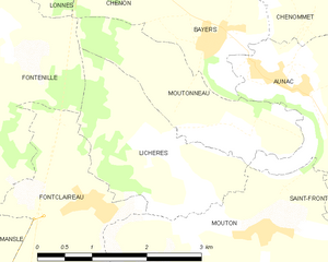
Lichères
- commune in Charente, France
- Country:
- Postal Code: 16460
- Coordinates: 45° 53' 48" N, 0° 13' 22" E
- GPS tracks (wikiloc): [Link]
- Area: 4.94 sq km
- Population: 91