Néron (Néron)

- commune in Eure-et-Loir, France
- Country:

- Postal Code: 28210
- Coordinates: 48° 36' 9" N, 1° 30' 54" E


- GPS tracks (wikiloc): [Link]
- AboveSeaLevel: 88 м m
- Area: 19.04 sq km
- Population: 649
- Web site: http://www.mairie-neron.fr
- Wikipedia en: wiki(en)
- Wikipedia: wiki(fr)
- Wikidata storage: Wikidata: Q1344382
- Wikipedia Commons Category: [Link]
- Freebase ID: [/m/03nrlrv]
- GeoNames ID: Alt: [6616332]
- SIREN number: [212802755]
- BnF ID: [15254205g]
- VIAF ID: Alt: [305142837]
- INSEE municipality code: 28275
Shares border with regions:


Tremblay-les-Villages
- commune in Eure-et-Loir, France
- Country:
- Postal Code: 28170
- Coordinates: 48° 36' 3" N, 1° 22' 52" E
- GPS tracks (wikiloc): [Link]
- AboveSeaLevel: 198 м m
- Area: 63.31 sq km
- Population: 2287
- Web site: [Link]


Nogent-le-Roi
- commune in Eure-et-Loir, France
- Country:
- Postal Code: 28210
- Coordinates: 48° 38' 55" N, 1° 31' 43" E
- GPS tracks (wikiloc): [Link]
- Area: 13.01 sq km
- Population: 4109
- Web site: [Link]

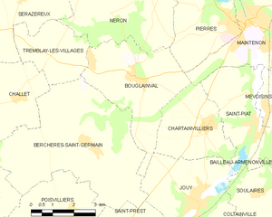
Bouglainval
- commune in Eure-et-Loir, France
- Country:
- Postal Code: 28130
- Coordinates: 48° 33' 51" N, 1° 30' 31" E
- GPS tracks (wikiloc): [Link]
- Area: 14.2 sq km
- Population: 765
- Web site: [Link]