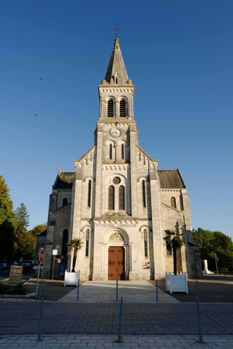
Niherne (Niherne)
- commune in Indre, France
- Country:

- Postal Code: 36250
- Coordinates: 46° 49' 42" N, 1° 33' 52" E


- GPS tracks (wikiloc): [Link]
- Area: 42.87 sq km
- Population: 1604
- Wikipedia en: wiki(en)
- Wikipedia: wiki(fr)
- Wikidata storage: Wikidata: Q1137259
- Wikipedia Commons Category: [Link]
- Freebase ID: [/m/03nvbn3]
- GeoNames ID: Alt: [2990367]
- SIREN number: [213601420]
- BnF ID: [15257446b]
- PACTOLS thesaurus ID: [pcrtLjEA3XngdR]
- Digital Atlas of the Roman Empire ID: [18884]
- INSEE municipality code: 36142
Shares border with regions:

Villers-les-Ormes
- former commune in Indre, France
- Country:

- Postal Code: 36250
- Coordinates: 46° 52' 11" N, 1° 37' 58" E


- GPS tracks (wikiloc): [Link]
- Area: 17.6 sq km
- Population: 449

Saint-Maur
- former commune in Indre, France
- Country:

- Postal Code: 36250
- Coordinates: 46° 48' 23" N, 1° 38' 22" E


- GPS tracks (wikiloc): [Link]
- Area: 70.31 sq km
- Population: 3112
- Web site: [Link]


Neuillay-les-Bois
- commune in Indre, France
- Country:

- Postal Code: 36500
- Coordinates: 46° 45' 55" N, 1° 28' 32" E


- GPS tracks (wikiloc): [Link]
- Area: 47.63 sq km
- Population: 671
- Web site: [Link]


Luant
- commune in Indre, France
- Country:

- Postal Code: 36350
- Coordinates: 46° 43' 59" N, 1° 33' 31" E


- GPS tracks (wikiloc): [Link]
- Area: 31.06 sq km
- Population: 1471
- Web site: [Link]


Villedieu-sur-Indre
- commune in Indre, France
- Country:

- Postal Code: 36320
- Coordinates: 46° 50' 47" N, 1° 32' 24" E


- GPS tracks (wikiloc): [Link]
- AboveSeaLevel: 150 м m
- Area: 57.77 sq km
- Population: 2745
- Web site: [Link]
