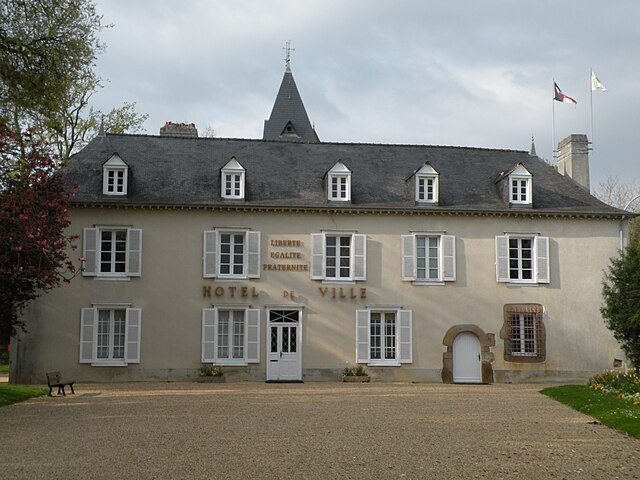
Noyal-sur-Vilaine (Noyal-sur-Vilaine)

- commune in Ille-et-Vilaine, France
- Country:

- Postal Code: 35530
- Coordinates: 48° 6' 42" N, 1° 31' 28" E


- GPS tracks (wikiloc): [Link]
- Area: 30.36 sq km
- Population: 5820
- Web site: http://www.ville-noyalsurvilaine.fr
- Wikipedia en: wiki(en)
- Wikipedia: wiki(fr)
- Wikidata storage: Wikidata: Q545801
- Wikipedia Commons Category: [Link]
- Freebase ID: [/m/03m9p9p]
- Freebase ID: [/m/03m9p9p]
- GeoNames ID: Alt: [2989914]
- GeoNames ID: Alt: [2989914]
- SIREN number: [213502073]
- SIREN number: [213502073]
- BnF ID: [15257150r]
- BnF ID: [15257150r]
- VIAF ID: Alt: [126393194]
- VIAF ID: Alt: [126393194]
- OSM relation ID: [87346]
- OSM relation ID: [87346]
- WOEID: [12646264]
- WOEID: [12646264]
- SUDOC authorities ID: [030110823]
- SUDOC authorities ID: [030110823]
- Twitter username: Alt: [NoyalsurVilaine]
- Twitter username: Alt: [NoyalsurVilaine]
- INSEE municipality code: 35207
- INSEE municipality code: 35207
Shares border with regions:


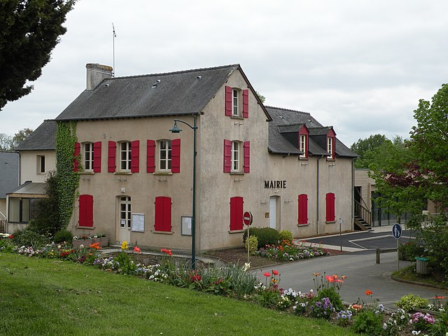
Brécé
- commune in Ille-et-Vilaine, France
- Country:
- Postal Code: 35530
- Coordinates: 48° 6' 32" N, 1° 28' 57" E
- GPS tracks (wikiloc): [Link]
- Area: 7.16 sq km
- Population: 2099
- Web site: [Link]


Acigné
- commune in Ille-et-Vilaine, France
- Country:
- Postal Code: 35690
- Coordinates: 48° 8' 3" N, 1° 32' 12" E
- GPS tracks (wikiloc): [Link]
- Area: 29.55 sq km
- Population: 6521
- Web site: [Link]


Servon-sur-Vilaine
- commune in Ille-et-Vilaine, France
- Country:
- Postal Code: 35530
- Coordinates: 48° 7' 17" N, 1° 27' 38" E
- GPS tracks (wikiloc): [Link]
- Area: 15.26 sq km
- Population: 3579
- Web site: [Link]
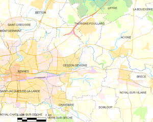
Cesson-Sévigné
- commune in Ille-et-Vilaine, France
- Country:
- Postal Code: 35510
- Coordinates: 48° 7' 15" N, 1° 36' 13" E
- GPS tracks (wikiloc): [Link]
- AboveSeaLevel: 46 м m
- Area: 32.14 sq km
- Population: 17414
- Web site: [Link]


Domagné
- commune in Ille-et-Vilaine, France
- Country:
- Postal Code: 35113
- Coordinates: 48° 4' 13" N, 1° 23' 29" E
- GPS tracks (wikiloc): [Link]
- Area: 29 sq km
- Population: 2290
- Web site: [Link]

Châteaugiron
- former commune in Ille-et-Vilaine, France
- Country:
- Postal Code: 35410
- Coordinates: 48° 2' 53" N, 1° 30' 11" E
- GPS tracks (wikiloc): [Link]
- Area: 8.7 sq km
- Population: 7522
- Web site: [Link]

Domloup
- commune in Ille-et-Vilaine, France
- Country:
- Postal Code: 35410
- Coordinates: 48° 3' 43" N, 1° 31' 23" E
- GPS tracks (wikiloc): [Link]
- AboveSeaLevel: 60 м m
- Area: 18.91 sq km
- Population: 3185
- Web site: [Link]


Ossé
- former commune in Ille-et-Vilaine, France
- Country:
- Postal Code: 35410
- Coordinates: 48° 3' 20" N, 1° 27' 1" E
- GPS tracks (wikiloc): [Link]
- Area: 8.99 sq km
- Population: 1185
- Web site: [Link]