Oberspreewald-Lausitz District (Landkreis Oberspreewald-Lausitz)


- district in Brandenburg state, Germany
 Hiking in Oberspreewald-Lausitz District
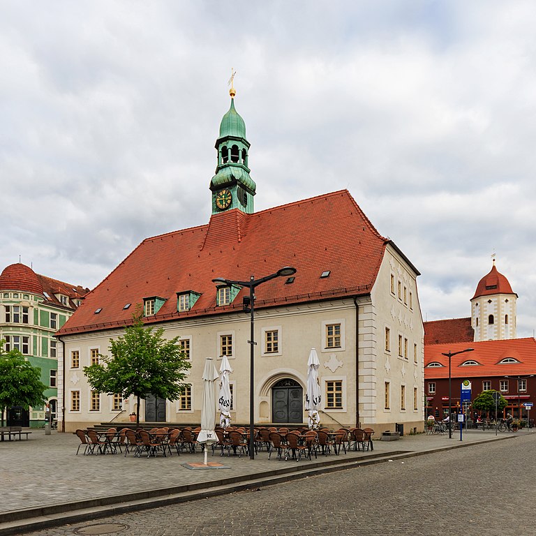
Oberspreewald-Lausitz is a beautiful region located in the state of Brandenburg, Germany, known for its unique natural landscapes, rich cultural heritage, and extensive network of hiking trails. This area is characterized by its marshy areas, forests, and waterways, making it an ideal destination for nature lovers and hiking enthusiasts.
Hiking Highlights in Oberspreewald-Lausitz:
-
Spreewald Biosphere Reserve: This UNESCO Biosphere Reserve is famous for its intricate network of waterways and lush greenery. The Spreewald offers several hiking routes that allow you to explore the natural beauty of the area, including the iconic canals and swampy landscapes.
-
Thematic Trails: The region features various themed trails that not only provide beautiful views but also educate hikers about local flora, fauna, and cultural history. Popular trails include the "Spreewald Trail," which takes you through idyllic landscapes, and the "Biosphere Trail," focusing on conservation and sustainable practices.
-
Historical Sites: Along the hiking routes, you can discover historical landmarks, traditional Sorbian villages, and cultural sites, giving you insight into the unique heritage of the Sorbs, a Slavic ethnic group native to the region.
-
Accessibility: Many hiking trails are well-marked and suitable for various skill levels, from easy strolls to more challenging routes. Whether you're a casual walker or an experienced hiker, there are routes that cater to everyone.
-
Wildlife and Vegetation: The region is home to diverse wildlife, including birds, deer, and other mammals, as well as a variety of plant species. Birdwatching can also be a rewarding experience in the area.
-
Guided Tours: If you're unfamiliar with the area or prefer a more structured experience, consider joining a guided hiking tour. Local guides can provide insight into the ecosystem, history, and culture of the region.
-
Local Cuisine: As you hike, take the opportunity to enjoy traditional Sorbian cuisine at local inns or restaurants. Don't miss trying local specialties such as pickles, sausages, and hearty stews.
Tips for Hiking in Oberspreewald-Lausitz:
-
Footwear: Wear sturdy hiking boots that are suitable for different terrains, as trails can vary from well-maintained paths to muddy or uneven surfaces.
-
Weather: Check the weather forecast before heading out, as conditions in marshy areas can change quickly. Dress in layers and be prepared for wet conditions.
-
Maps and Navigation: Although many trails are marked, it’s a good idea to have a detailed map or a hiking app for navigation. This can help you explore less-traveled paths.
-
Safety: Be aware of your surroundings and adhere to any local guidelines regarding trail use and wildlife safety.
Conclusion
Hiking in Oberspreewald-Lausitz offers a perfect blend of natural beauty, cultural experiences, and outdoor adventure. Whether you're looking for a peaceful escape into nature or an active day of exploration, this picturesque region has something to offer every hiker. Enjoy your trek!
- Country:

- Licence Plate Code: SFB; OSL; CA
- Coordinates: 51° 35' 0" N, 14° 0' 0" E


- GPS tracks (wikiloc): [Link]
- AboveSeaLevel: 132 м m
- Area: 1216.65 sq km
- Population: 115212
- Web site: http://www.osl-online.de/
- Wikipedia en: wiki(en)
- Wikipedia: wiki(de)
- Wikidata storage: Wikidata: Q6156
- Wikipedia Commons Category: [Link]
- Wikipedia Commons Maps Category: [Link]
- Freebase ID: [/m/016plk]
- GeoNames ID: Alt: [3249085]
- VIAF ID: Alt: [241846421]
- OSM relation ID: [62571]
- GND ID: Alt: [4393873-5]
- archINFORM location ID: [3844]
- TGN ID: [7076939]
- NUTS code: [DE40B]
- German district key: 12066
Shares border with regions:

Elbe-Elster District
- District in Brandenburg state, Germany
Hiking in Elbe-Elster District
Elbe-Elster is a picturesque district located in the state of Brandenburg, Germany, known for its beautiful landscapes, rivers, and a variety of outdoor activities, including hiking. The region offers a mix of natural scenery, cultural attractions, and well-maintained hiking trails....
- Country:
- Licence Plate Code: LIB; FI; EE
- Coordinates: 51° 36' 0" N, 13° 26' 0" E
- GPS tracks (wikiloc): [Link]
- AboveSeaLevel: 120 м m
- Area: 1889.34 sq km
- Population: 107649
- Web site: [Link]
Spree-Neiße District
- district in Brandenburg state, Germany
Hiking in Spree-Neiße District
Spree-Neiße is a scenic district located in the state of Brandenburg, Germany, known for its beautiful landscapes, rich history, and numerous outdoor activities. If you're considering hiking in this area, here are some key points to keep in mind:...
- Country:
- Licence Plate Code: SPN; SPB; GUB; FOR
- Coordinates: 51° 41' 0" N, 14° 24' 0" E
- GPS tracks (wikiloc): [Link]
- AboveSeaLevel: 70 м m
- Area: 1647.89 sq km
- Population: 118899
- Web site: [Link]
Dahme-Spreewald District
- district in Brandenburg, Germany
Hiking in Dahme-Spreewald District
Dahme-Spreewald, located in Brandenburg, Germany, offers stunning landscapes, rich biodiversity, and a variety of hiking trails that cater to both casual walkers and experienced hikers. Here are some key points to consider when hiking in this beautiful region:...
- Country:
- Licence Plate Code: LDS
- Coordinates: 52° 2' 0" N, 13° 54' 0" E
- GPS tracks (wikiloc): [Link]
- AboveSeaLevel: 46 м m
- Area: 2.26 sq km
- Population: 160314
- Web site: [Link]