Oinville-Saint-Liphard (Oinville-Saint-Liphard)

- commune in Eure-et-Loir, France
- Country:

- Postal Code: 28310
- Coordinates: 48° 14' 2" N, 1° 55' 1" E


- GPS tracks (wikiloc): [Link]
- Area: 21.77 sq km
- Population: 272
- Wikipedia en: wiki(en)
- Wikipedia: wiki(fr)
- Wikidata storage: Wikidata: Q1139867
- Wikipedia Commons Category: [Link]
- Freebase ID: [/m/03nrlvl]
- GeoNames ID: Alt: [6430831]
- SIREN number: [212802847]
- BnF ID: [15254214f]
- INSEE municipality code: 28284
Shares border with regions:
Trancrainville
- commune in Eure-et-Loir, France
- Country:
- Postal Code: 28310
- Coordinates: 48° 14' 20" N, 1° 51' 36" E
- GPS tracks (wikiloc): [Link]
- Area: 11.61 sq km
- Population: 168

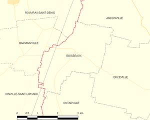
Boisseaux
- commune in Loiret, France
- Country:
- Postal Code: 45480
- Coordinates: 48° 15' 24" N, 1° 59' 16" E
- GPS tracks (wikiloc): [Link]
- Area: 7.19 sq km
- Population: 492
- Web site: [Link]


Outarville
- commune in Loiret, France
- Country:
- Postal Code: 45480
- Coordinates: 48° 12' 41" N, 2° 1' 13" E
- GPS tracks (wikiloc): [Link]
- Area: 46.61 sq km
- Population: 1364
- Web site: [Link]

Toury
- commune in Eure-et-Loir, France
- Country:
- Postal Code: 28310
- Coordinates: 48° 11' 39" N, 1° 56' 8" E
- GPS tracks (wikiloc): [Link]
- AboveSeaLevel: 134 м m
- Area: 18.72 sq km
- Population: 2653
- Web site: [Link]