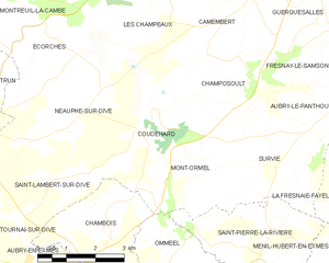
Omméel (Omméel)

- former commune in Orne, France
- Country:

- Postal Code: 61160
- Coordinates: 48° 48' 14" N, 0° 8' 44" E


- GPS tracks (wikiloc): [Link]
- Area: 9.34 sq km
- Population: 130
- Wikipedia en: wiki(en)
- Wikipedia: wiki(fr)
- Wikidata storage: Wikidata: Q570886
- Wikipedia Commons Category: [Link]
- Freebase ID: [/m/03qgqbd]
- Freebase ID: [/m/03qgqbd]
- GeoNames ID: Alt: [6439195]
- GeoNames ID: Alt: [6439195]
- INSEE municipality code: 61315
- INSEE municipality code: 61315
Shares border with regions:
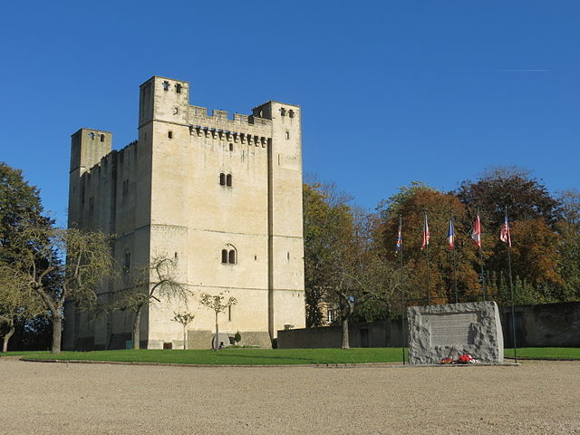

Chambois
- former commune in Orne, France
- Country:
- Postal Code: 61160
- Coordinates: 48° 48' 18" N, 0° 6' 19" E
- GPS tracks (wikiloc): [Link]
- Area: 8.3 sq km
- Population: 421
Avernes-sous-Exmes
- former commune in Orne, France
- Country:
- Postal Code: 61310
- Coordinates: 48° 47' 20" N, 0° 12' 14" E
- GPS tracks (wikiloc): [Link]
- Area: 7.03 sq km
- Population: 83

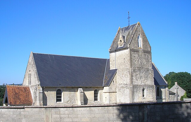
Coudehard
- commune in Orne, France
- Country:
- Postal Code: 61160
- Coordinates: 48° 50' 37" N, 0° 8' 5" E
- GPS tracks (wikiloc): [Link]
- Area: 8.52 sq km
- Population: 83
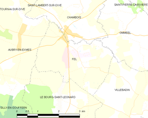
Fel
- former commune in Orne, France
- Country:
- Postal Code: 61160
- Coordinates: 48° 48' 8" N, 0° 6' 17" E
- GPS tracks (wikiloc): [Link]
- Area: 7.02 sq km
- Population: 258


Villebadin
- former commune in Orne, France
- Country:
- Postal Code: 61310
- Coordinates: 48° 46' 45" N, 0° 9' 16" E
- GPS tracks (wikiloc): [Link]
- Area: 12.93 sq km
- Population: 131
Saint-Pierre-la-Rivière
- former commune in Orne, France
- Country:
- Postal Code: 61310
- Coordinates: 48° 49' 35" N, 0° 11' 24" E
- GPS tracks (wikiloc): [Link]
- Area: 9.37 sq km
- Population: 164