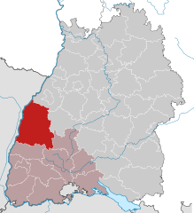
Ortenau (Ortenaukreis)
- district of Baden-Württemberg, Germany
Ortenaukreis, located in the Baden-Württemberg region of Germany, offers a diverse range of hiking opportunities, making it an ideal destination for both novice and experienced hikers. Here are some highlights about hiking in this picturesque area:
Scenic Trails
-
Black Forest Trails: The southern part of Ortenaukreis is adjacent to the Black Forest, known for its dense forests, rolling hills, and striking landscapes. Popular trails include sections of the Westweg, which runs the entire length of the Black Forest.
-
Ortenauer Weinweg: This is a wine trail that meanders through vineyards and offers stunning views of the Rhine Valley. It is a great way to combine hiking with wine tasting in the region’s vineyards.
-
Kaiserstuhl Region: Just to the west of Ortenaukreis, this region features vineyards and unique geological formations. It offers trails that provide beautiful vistas of the Rhine plain.
Nature and Wildlife
- The region is rich in biodiversity, with opportunities to see various wildlife and plant species along the hiking trails.
- Many trails pass through protected areas that are home to rare flora and fauna.
Historical Sites
- Hiking in Ortenaukreis can also lead you to historical landmarks, including castles, old towns, and churches. For example, the ruins of the historic Ortenberg Castle offer a great spot for a picnic along with a view of the surrounding area.
Accessibility
- The area has well-marked trails with varying levels of difficulty, making it accessible for families, groups, and individual hikers of all skill levels.
- Public transportation options and parking facilities make it easy to access trailheads.
Seasonal Considerations
- Each season presents a different face of Ortenaukreis. Spring and fall feature beautiful foliage, while summer allows for lush green landscapes, and winter can bring opportunities for snowshoeing in higher elevations.
Recommendations
- Always check the weather and trail conditions before heading out.
- Make sure to pack sufficient water, snacks, and a small first-aid kit.
- Consider downloading hiking apps or maps for navigation.
Hiking in Ortenaukreis is not just about the physical activity; it's also an opportunity to enjoy the natural beauty and cultural heritage of the region. Whether you prefer an easy leisurely walk or a more challenging trek, you'll find plenty of routes to explore and enjoy.
- Country:

- Capital: Offenburg
- Licence Plate Code: OG
- Coordinates: 48° 25' 0" N, 8° 0' 0" E


- GPS tracks (wikiloc): [Link]
- AboveSeaLevel: 168 м m
- Area: 1850.74 sq km
- Population: 411700
- Web site: https://www.ortenaukreis.de/
- Wikipedia en: wiki(en)
- Wikipedia: wiki(de)
- Wikidata storage: Wikidata: Q8191
- Wikipedia Commons Category: [Link]
- Wikipedia Commons Maps Category: [Link]
- Freebase ID: [/m/01kc19]
- GeoNames ID: Alt: [3214109]
- VIAF ID: Alt: [124400843]
- OSM relation ID: [62624]
- GND ID: Alt: [4104631-6]
- archINFORM location ID: [2548]
- Library of Congress authority ID: Alt: [n85152339]
- TGN ID: [7075013]
- NUTS code: [DE134]
- German district key: 08317
Includes regions:

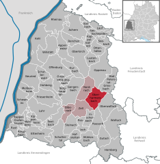
Oberharmersbach
- municipality in Germany
Oberharmersbach is a picturesque village located in the Black Forest region of Germany, which is known for its stunning landscapes, rich natural beauty, and extensive hiking opportunities. Hiking in and around Oberharmersbach can offer a mix of peaceful forest trails, panoramic views, and the chance to explore local flora and fauna....
- Country:

- Postal Code: 77784
- Local Dialing Code: 07837
- Licence Plate Code: OG
- Coordinates: 48° 23' 0" N, 8° 8' 0" E


- GPS tracks (wikiloc): [Link]
- AboveSeaLevel: 396 м m
- Area: 40.92 sq km
- Population: 2541
- Web site: [Link]


Kehl
- town in southwest Germany
Kehl, located in the Grand Est region of France, directly across the Rhine River from the German city of Strasbourg, offers a variety of outdoor activities, including hiking in the surrounding areas. While the town itself is relatively small, it serves as an excellent base for exploring the regional natural scenery. Here are some hiking options and tips for your visit:...
- Country:

- Postal Code: 77694
- Local Dialing Code: 07851
- Licence Plate Code: OG
- Coordinates: 48° 34' 16" N, 7° 48' 32" E


- GPS tracks (wikiloc): [Link]
- AboveSeaLevel: 139 м m
- Area: 75.07 sq km
- Population: 34513
- Web site: [Link]


Zell am Harmersbach
- municipality in Germany
Zell am Harmersbach is a charming town situated in the Black Forest region of Germany, known for its stunning natural scenery and a variety of hiking opportunities suitable for different skill levels. Here are some key points to consider when planning a hiking trip in this area:...
- Country:

- Postal Code: 77736
- Local Dialing Code: 07835
- Licence Plate Code: OG
- Coordinates: 48° 20' 48" N, 8° 3' 50" E


- GPS tracks (wikiloc): [Link]
- AboveSeaLevel: 223 м m
- Area: 36.43 sq km
- Population: 7985
- Web site: [Link]
Fischerbach
- municipality in Germany
Fischerbach is a beautiful area located in the Black Forest region of Germany, known for its stunning landscapes, well-maintained trails, and charming villages. Here’s a general guide to hiking in Fischerbach:...
- Country:

- Postal Code: 77716
- Local Dialing Code: 07832
- Licence Plate Code: OG
- Coordinates: 48° 17' 14" N, 8° 6' 33" E


- GPS tracks (wikiloc): [Link]
- AboveSeaLevel: 221 м m
- Area: 20.29 sq km
- Population: 1731
- Web site: [Link]


Mühlenbach
- municipality in Baden-Württemberg, Germany
Mühlenbach is a charming village located in the Black Forest region of Baden-Württemberg, Germany. It's a wonderful destination for hiking enthusiasts due to its stunning scenery, diverse trails, and rich natural environment. Here are some highlights and tips for hiking in Mühlenbach:...
- Country:

- Postal Code: 77796
- Local Dialing Code: 07832
- Licence Plate Code: OG
- Coordinates: 48° 15' 11" N, 8° 6' 38" E


- GPS tracks (wikiloc): [Link]
- AboveSeaLevel: 260 м m
- Area: 31.22 sq km
- Population: 1669
- Web site: [Link]
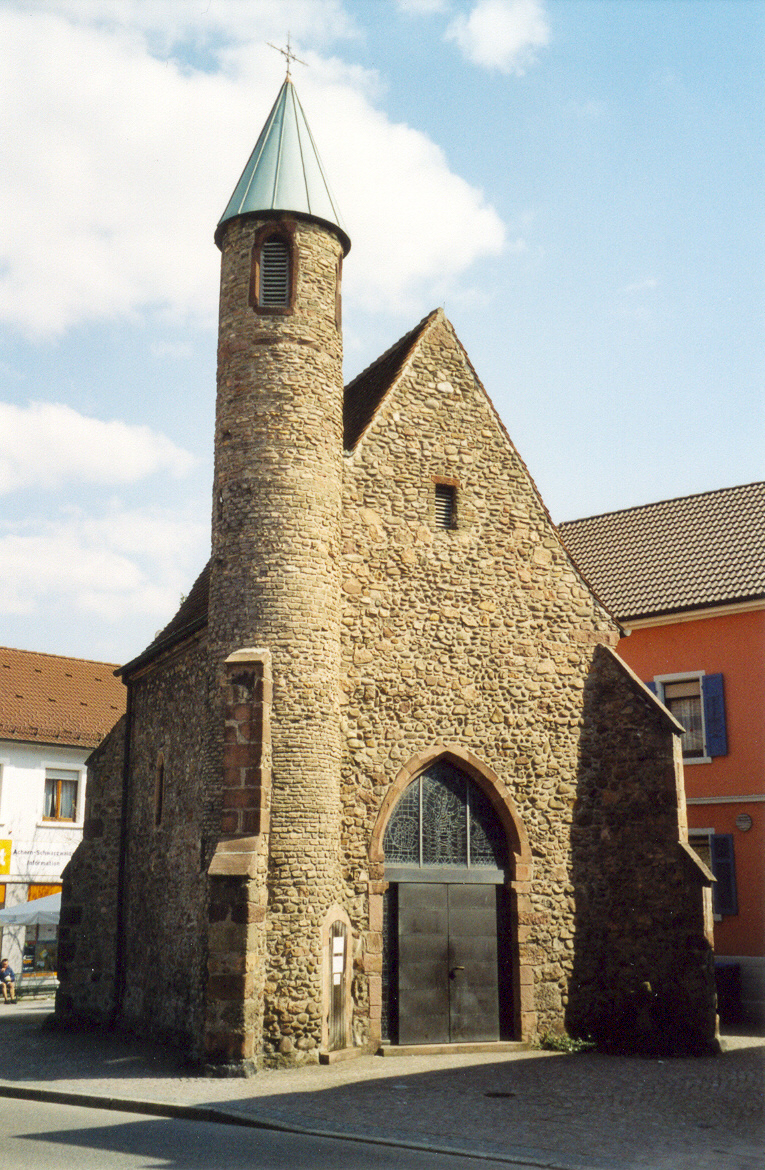

Achern
- municipality in Germany
Achern is a charming town located in the Black Forest region of Germany, making it an excellent base for hiking enthusiasts. It offers a variety of trails that cater to different skill levels, from leisurely walks to more challenging treks. Here are some key points to consider when hiking in Achern:...
- Country:

- Postal Code: 77855
- Local Dialing Code: 07841
- Licence Plate Code: OG
- Coordinates: 48° 37' 53" N, 8° 4' 26" E


- GPS tracks (wikiloc): [Link]
- AboveSeaLevel: 142 м m
- Area: 65.24 sq km
- Population: 25018
- Web site: [Link]
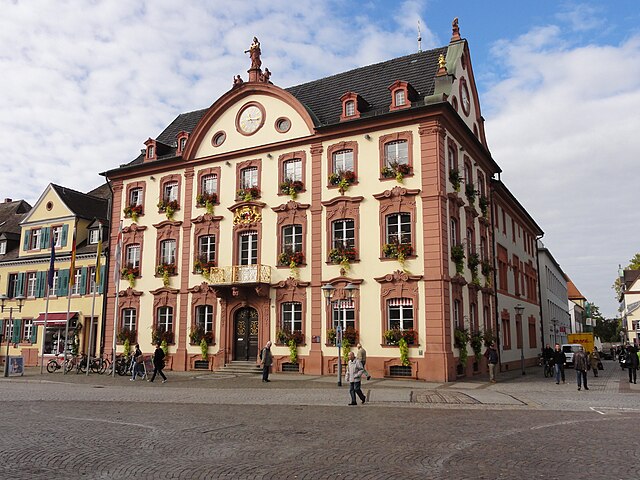
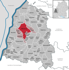
Offenburg
- city in Baden-Württemberg, Germany
Offenburg, located in the scenic Baden-Württemberg region of Germany, serves as an excellent base for hiking enthusiasts. Nestled near the Black Forest, it offers a variety of trails that showcase beautiful landscapes, charming villages, and rich nature....
- Country:

- Postal Code: 77601–77656
- Local Dialing Code: 0781
- Licence Plate Code: OG
- Coordinates: 48° 28' 15" N, 7° 56' 27" E


- GPS tracks (wikiloc): [Link]
- AboveSeaLevel: 163 м m
- Area: 78.38 sq km
- Population: 57687
- Web site: [Link]

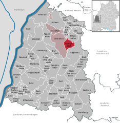
Lautenbach
- municipality in Germany
Lautenbach, located in the Ortenaukreis district of Baden-Württemberg, Germany, is a charming village surrounded by scenic landscapes, making it an excellent destination for hiking enthusiasts. Nestled in the Black Forest region, Lautenbach offers a variety of trails that cater to different skill levels and interests....
- Country:

- Postal Code: 77794
- Local Dialing Code: 07802
- Licence Plate Code: OG
- Coordinates: 48° 31' 10" N, 8° 7' 1" E


- GPS tracks (wikiloc): [Link]
- AboveSeaLevel: 215 м m
- Area: 21.55 sq km
- Population: 1877
- Web site: [Link]

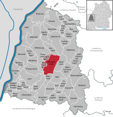
Gengenbach
- municipality in Germany
Gengenbach, located in the Black Forest region of Germany, offers a variety of hiking opportunities that cater to different skill levels and preferences. Here are some highlights to consider for your hiking experience in and around Gengenbach:...
- Country:

- Postal Code: 77723
- Local Dialing Code: 07803
- Licence Plate Code: OG
- Coordinates: 48° 24' 15" N, 8° 0' 55" E


- GPS tracks (wikiloc): [Link]
- AboveSeaLevel: 175 м m
- Area: 61.91 sq km
- Population: 10730
- Web site: [Link]


Wolfach
- municipality in Germany
Wolfach is a picturesque town located in the Black Forest region of southwestern Germany, known for its beautiful landscapes and well-marked hiking trails. The area offers a diverse range of hiking experiences, from easy strolls to more challenging hikes, making it suitable for both beginners and experienced hikers. Here are some highlights of hiking in Wolfach:...
- Country:

- Postal Code: 77709
- Local Dialing Code: 07834
- Coordinates: 48° 17' 58" N, 8° 13' 22" E


- GPS tracks (wikiloc): [Link]
- AboveSeaLevel: 262 м m
- Area: 67.99 sq km
- Population: 5815
- Web site: [Link]
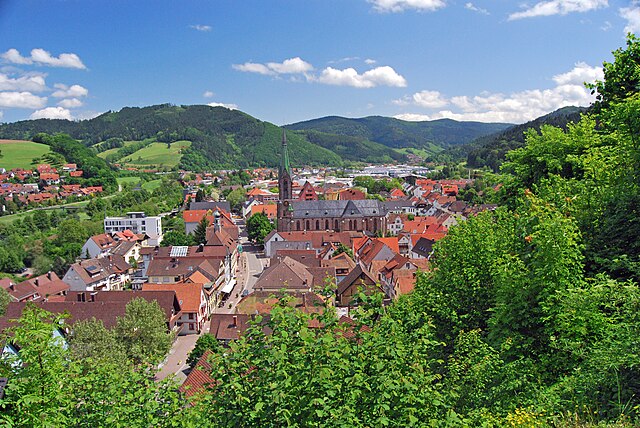
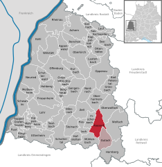
Hausach
- municipality in Germany
Hausach is a picturesque town located in the Black Forest region of Germany, known for its stunning natural beauty and vibrant hiking trails. Here are some highlights and tips for hiking in and around Hausach:...
- Country:

- Postal Code: 77756
- Local Dialing Code: 07831
- Coordinates: 48° 17' 7" N, 8° 10' 47" E


- GPS tracks (wikiloc): [Link]
- AboveSeaLevel: 238 м m
- Area: 36.07 sq km
- Population: 5768
- Web site: [Link]


Ettenheim
- municipality in Germany
Ettenheim, a charming town in the Baden-Württemberg region of Germany, offers beautiful hiking opportunities in the surrounding landscapes. Nestled near the Black Forest, Ettenheim is known for its picturesque scenery, rolling hills, and diverse trails suited for various skill levels....
- Country:

- Postal Code: 77949–77955
- Local Dialing Code: 07822
- Licence Plate Code: OG
- Coordinates: 48° 15' 20" N, 7° 48' 43" E


- GPS tracks (wikiloc): [Link]
- AboveSeaLevel: 193 м m
- Area: 48.90 sq km
- Population: 13008
- Web site: [Link]
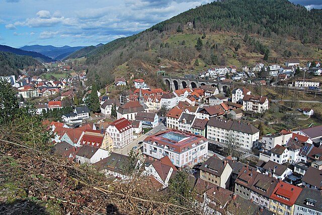

Hornberg
- municipality in Germany
Hornberg, a charming town located in the Black Forest region of Germany, offers a variety of hiking opportunities for outdoor enthusiasts of all skill levels. The area is known for its stunning landscapes, dense forests, and scenic views. Here are some highlights and tips for hiking in Hornberg:...
- Country:

- Postal Code: 78132
- Local Dialing Code: 07833
- Licence Plate Code: OG
- Coordinates: 48° 12' 48" N, 8° 13' 51" E


- GPS tracks (wikiloc): [Link]
- AboveSeaLevel: 384 м m
- Area: 54.45 sq km
- Population: 4233
- Web site: [Link]

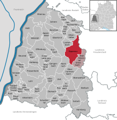
Oppenau
- municipality in Germany
Oppenau is a charming town located in the Black Forest region of Germany, offering numerous hiking opportunities for all levels of experience. The area is known for its stunning natural beauty, lush green forests, and scenic landscapes. Here are some highlights for hiking in and around Oppenau:...
- Country:

- Postal Code: 77724–77728
- Local Dialing Code: 07804
- Licence Plate Code: OG
- Coordinates: 48° 28' 25" N, 8° 9' 34" E


- GPS tracks (wikiloc): [Link]
- AboveSeaLevel: 277 м m
- Area: 73.04 sq km
- Population: 4663
- Web site: [Link]


Berghaupten
- municipality in Germany
Berghaupten is a charming village located in the Ortenaukreis region of Baden-Württemberg, Germany. Within this picturesque area, hikers can enjoy various trails that showcase the natural beauty of the Black Forest and the surrounding landscape. Here are some key points to consider when hiking in and around Berghaupten:...
- Country:

- Postal Code: 77791
- Local Dialing Code: 07803
- Licence Plate Code: OG
- Coordinates: 48° 24' 22" N, 7° 59' 12" E


- GPS tracks (wikiloc): [Link]
- AboveSeaLevel: 176 м m
- Area: 9.69 sq km
- Population: 2389
- Web site: [Link]

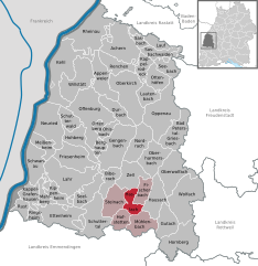
Haslach im Kinzigtal
- municipality in Germany
 Hiking in Haslach im Kinzigtal
Haslach im Kinzigtal, a charming town in the Black Forest region of Germany, offers a variety of hiking opportunities that cater to different skill levels and interests. The surrounding natural beauty includes lush forests, scenic valleys, and picturesque views, making it an ideal destination for outdoor enthusiasts....
- Country:

- Postal Code: 77716
- Local Dialing Code: 07832
- Licence Plate Code: OG
- Coordinates: 48° 16' 36" N, 8° 5' 33" E


- GPS tracks (wikiloc): [Link]
- AboveSeaLevel: 220 м m
- Area: 18.71 sq km
- Population: 7049
- Web site: [Link]


Kappel-Grafenhausen
- municipality in Germany
Kappel-Grafenhausen, located in the beautiful region of Baden-Württemberg, Germany, offers several opportunities for hiking and enjoying the natural beauty of the area. The region is characterized by its scenic landscapes, including lush forests, vineyards, and rolling hills, which provide hikers with diverse terrain and stunning views....
- Country:

- Postal Code: 77966
- Local Dialing Code: 07822
- Licence Plate Code: OG
- Coordinates: 48° 17' 0" N, 7° 45' 0" E


- GPS tracks (wikiloc): [Link]
- AboveSeaLevel: 161 м m
- Area: 25.72 sq km
- Population: 4818
- Web site: [Link]

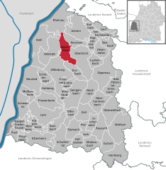
Appenweier
- municipality in Germany
Appenweier is a small town located in the Ortenaukreis region of Baden-Württemberg, Germany. It is surrounded by beautiful landscapes, including the Rhine Valley and the foothills of the Black Forest, making it an excellent destination for hiking enthusiasts. Here are some key points to consider when hiking in and around Appenweier:...
- Country:

- Postal Code: 77762–77767
- Local Dialing Code: 07805
- Coordinates: 48° 32' 8" N, 7° 58' 42" E


- GPS tracks (wikiloc): [Link]
- AboveSeaLevel: 152 м m
- Area: 38.03 sq km
- Population: 10103
- Web site: [Link]
Kippenheim
- municipality in Germany
Kippenheim, located in the Baden-Württemberg region of Germany near the Black Forest, offers scenic hiking opportunities with a mix of natural beauty and cultural attractions. Here are some key points to consider when planning a hiking trip in and around Kippenheim:...
- Country:

- Postal Code: 77971
- Local Dialing Code: 07825
- Licence Plate Code: OG
- Coordinates: 48° 17' 44" N, 7° 49' 30" E


- GPS tracks (wikiloc): [Link]
- AboveSeaLevel: 169 м m
- Area: 20.86 sq km
- Population: 5327
- Web site: [Link]

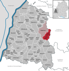
Bad Peterstal-Griesbach
- municipality in Germany
 Hiking in Bad Peterstal-Griesbach
Bad Peterstal-Griesbach is a charming spa town located in the Black Forest region of Germany, and it offers an excellent range of hiking opportunities for outdoor enthusiasts. The area is characterized by its lush forests, scenic valleys, and picturesque landscapes, making it a perfect destination for hiking....
- Country:

- Postal Code: 77740
- Local Dialing Code: 07806
- Coordinates: 48° 25' 44" N, 8° 12' 19" E


- GPS tracks (wikiloc): [Link]
- AboveSeaLevel: 393 м m
- Area: 41.2 sq km
- Population: 2745
- Web site: [Link]

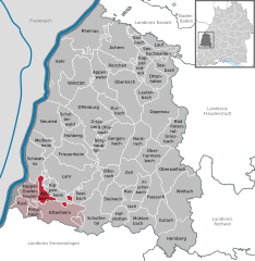
Mahlberg
- municipality in Germany
Mahlberg is a beautiful area to explore for hiking enthusiasts, located in the picturesque region of Baden-Württemberg in Germany. Though it may not be as widely known as some of the larger hiking destinations in the country, it offers charming landscapes and a variety of trails suitable for different skill levels....
- Country:

- Postal Code: 77972
- Local Dialing Code: 07825
- Licence Plate Code: OG
- Coordinates: 48° 17' 13" N, 7° 48' 41" E


- GPS tracks (wikiloc): [Link]
- AboveSeaLevel: 180 м m
- Area: 16.59 sq km
- Population: 4832
- Web site: [Link]


Hohberg
- municipality in Germany
Hohberg is located in the Black Forest region of Germany, known for its stunning scenery, dense forests, and rich biodiversity. While specific trails may not be as widely documented as those in larger national parks, the area still offers a variety of hiking opportunities that cater to different skill levels....
- Country:

- Postal Code: 77749
- Local Dialing Code: 07808
- Licence Plate Code: OG
- Coordinates: 48° 25' 26" N, 7° 54' 30" E


- GPS tracks (wikiloc): [Link]
- AboveSeaLevel: 179 м m
- Area: 28.94 sq km
- Population: 8103
- Web site: [Link]


Nordrach
- municipality in Germany
Nordrach is a small village located in the scenic Black Forest region of Germany, known for its beautiful landscapes, lush forests, and numerous hiking trails. Here are some key aspects of hiking in Nordrach:...
- Country:

- Postal Code: 77787
- Local Dialing Code: 07838
- Licence Plate Code: OG
- Coordinates: 48° 24' 0" N, 8° 5' 0" E


- GPS tracks (wikiloc): [Link]
- AboveSeaLevel: 317 м m
- Area: 37.75 sq km
- Population: 1903
- Web site: [Link]


Ottenhöfen im Schwarzwald
- municipality in Germany
 Hiking in Ottenhöfen im Schwarzwald
Ottenhöfen im Schwarzwald is a charming village located in the Black Forest region of Germany, known for its beautiful landscapes, dense forests, and scenic trails. Here are some highlights and tips for hiking in this area:...
- Country:

- Postal Code: 77883
- Local Dialing Code: 07842
- Licence Plate Code: OG
- Coordinates: 48° 34' 3" N, 8° 9' 2" E


- GPS tracks (wikiloc): [Link]
- AboveSeaLevel: 327 м m
- Area: 25.26 sq km
- Population: 3115
- Web site: [Link]

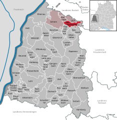
Sasbachwalden
- municipality in Germany
Sasbachwalden is a picturesque village located in the Black Forest region of Germany, nestled in the foothills of the mountains. It's an ideal destination for hiking enthusiasts, offering a variety of trails suited for all skill levels, from leisurely walks to challenging hikes....
- Country:

- Postal Code: 77887
- Local Dialing Code: 07841
- Licence Plate Code: OG
- Coordinates: 48° 37' 6" N, 8° 7' 38" E


- GPS tracks (wikiloc): [Link]
- AboveSeaLevel: 257 м m
- Area: 18.13 sq km
- Population: 2483
- Web site: [Link]

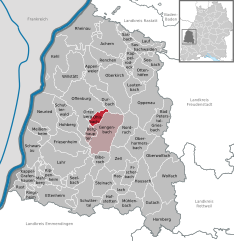
Ohlsbach
- municipality in Germany
Ohlsbach is a charming village located in the Ortenaukreis district of Baden-Württemberg, Germany. Nestled at the foothills of the Black Forest, it offers a range of beautiful hiking opportunities for outdoor enthusiasts. Here’s an overview of what you can expect when hiking in and around Ohlsbach:...
- Country:

- Postal Code: 77797
- Local Dialing Code: 07803
- Licence Plate Code: OG
- Coordinates: 48° 25' 56" N, 7° 59' 38" E


- GPS tracks (wikiloc): [Link]
- AboveSeaLevel: 174 м m
- Area: 11.14 sq km
- Population: 3187
- Web site: [Link]
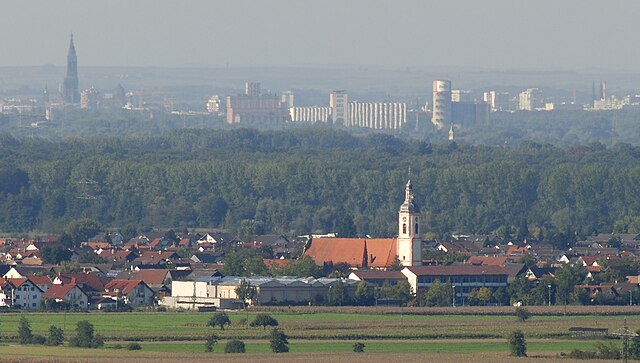
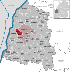
Schutterwald
- municipality in Germany
Schutterwald, located in the southern part of Germany near the Black Forest region, offers a variety of hiking opportunities that cater to different skill levels and interests. Here are some key points to consider when hiking in this beautiful area:...
- Country:

- Postal Code: 77746
- Local Dialing Code: 0781
- Licence Plate Code: OG
- Coordinates: 48° 27' 30" N, 7° 52' 59" E


- GPS tracks (wikiloc): [Link]
- AboveSeaLevel: 151 м m
- Area: 21.03 sq km
- Population: 7189
- Web site: [Link]


Neuried
- municipality in Baden-Württemberg, Germany
Neuried, located in the state of Baden-Württemberg, Germany, offers a serene hiking experience with picturesque landscapes, rolling hills, and lush forests. The region is known for its scenic trails that cater to various skill levels, making it suitable for both casual walkers and more experienced hikers....
- Country:

- Postal Code: 77743
- Local Dialing Code: 07807
- Licence Plate Code: OG
- Coordinates: 48° 27' 55" N, 7° 48' 14" E


- GPS tracks (wikiloc): [Link]
- AboveSeaLevel: 150 м m
- Area: 57.85 sq km
- Population: 9699
- Web site: [Link]


Renchen
- municipality in Germany
Renchen, located in the southwestern part of Germany in the state of Baden-Württemberg, is surrounded by beautiful natural landscapes, making it a great spot for hiking enthusiasts. Situated near the northern edge of the Black Forest, Renchen serves as a gateway to various trails that cater to different skill levels, from leisurely walks to more challenging hikes....
- Country:

- Postal Code: 77871
- Local Dialing Code: 07843
- Licence Plate Code: OG
- Coordinates: 48° 35' 9" N, 8° 0' 38" E


- GPS tracks (wikiloc): [Link]
- AboveSeaLevel: 150 м m
- Area: 32.08 sq km
- Population: 7324
- Web site: [Link]
Kappelrodeck
- municipality in Germany
Kappelrodeck is located in the Black Forest region of Germany and offers some beautiful hiking opportunities. Here are some highlights about hiking in Kappelrodeck:...
- Country:

- Postal Code: 77876
- Local Dialing Code: 07842
- Licence Plate Code: OG
- Coordinates: 48° 35' 28" N, 8° 7' 3" E


- GPS tracks (wikiloc): [Link]
- AboveSeaLevel: 215 м m
- Area: 17.93 sq km
- Population: 5870
- Web site: [Link]


Rheinau
- municipality in Baden-Württemberg, Germany
Rheinau, located in the Baden region of Germany, is a picturesque area that offers a variety of hiking opportunities. Nestled along the banks of the Rhine River, this region boasts beautiful landscapes, scenic views, and multiple trails suitable for different skill levels. Here are some highlights of hiking in Rheinau:...
- Country:

- Postal Code: 77866
- Local Dialing Code: 07853; 07844; 07227
- Licence Plate Code: OG
- Coordinates: 48° 40' 4" N, 7° 56' 5" E


- GPS tracks (wikiloc): [Link]
- AboveSeaLevel: 130 м m
- Area: 73.51 sq km
- Population: 11056
- Web site: [Link]


Schuttertal
- municipality in Germany
Schuttertal is a charming village located in the Black Forest region of Germany, offering a variety of beautiful hiking trails for nature lovers and outdoor enthusiasts. Here are some highlights and tips for hiking in Schuttertal:...
- Country:

- Postal Code: 77978
- Local Dialing Code: 07826
- Licence Plate Code: OG
- Coordinates: 48° 14' 50" N, 7° 57' 14" E


- GPS tracks (wikiloc): [Link]
- AboveSeaLevel: 287 м m
- Area: 50.28 sq km
- Population: 3175
- Web site: [Link]

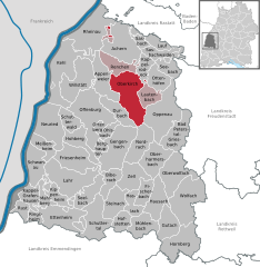
Oberkirch
- municipality in Germany
Oberkirch, located in the beautiful Ortenaukreis district of Baden-Württemberg, Germany, offers a range of hiking opportunities that showcase the scenic beauty of the Black Forest region and the surrounding countryside. Here are some highlights and tips for hiking in Oberkirch:...
- Country:

- Postal Code: 77704
- Local Dialing Code: 07805; 07802
- Licence Plate Code: OG
- Coordinates: 48° 31' 56" N, 8° 4' 43" E


- GPS tracks (wikiloc): [Link]
- AboveSeaLevel: 192 м m
- Area: 69.13 sq km
- Population: 19732
- Web site: [Link]

Willstätt
- municipality in Germany
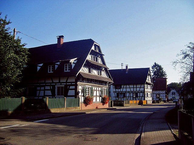
Willstätt is a charming village located in the southern region of Germany, in the state of Baden-Württemberg. Nestled near the Black Forest and the border with France, Willstätt offers beautiful landscapes and numerous hiking opportunities suitable for a variety of skill levels. Here are some highlights of hiking in and around Willstätt:...
- Country:

- Postal Code: 77731
- Local Dialing Code: 07852
- Licence Plate Code: OG
- Coordinates: 48° 32' 30" N, 7° 53' 47" E


- GPS tracks (wikiloc): [Link]
- AboveSeaLevel: 142 м m
- Area: 55.26 sq km
- Population: 9096
- Web site: [Link]


Friesenheim
- municipality in the Ortenau district, Baden-Württemberg, Germany
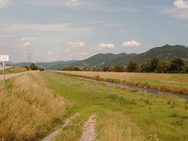
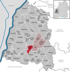
Friesenheim, located in Baden-Württemberg, Germany, is surrounded by a beautiful landscape, making it a lovely spot for hiking enthusiasts. The region offers several hiking trails, ranging from easy walks to more challenging terrains. Here are some key points to consider when hiking in and around Friesenheim:...
- Country:

- Postal Code: 77948
- Local Dialing Code: 07808; 07821
- Licence Plate Code: OG
- Coordinates: 48° 22' 23" N, 7° 53' 0" E


- GPS tracks (wikiloc): [Link]
- AboveSeaLevel: 159 м m
- Area: 46.6 sq km
- Population: 12621
- Web site: [Link]
Biberach
- municipality in Baden, Germany
Biberach, located in Baden-Württemberg, Germany, offers a variety of hiking opportunities for outdoor enthusiasts. The region is known for its picturesque landscapes, charming villages, and diverse natural environments. Here are some highlights and tips for hiking in the area:...
- Country:

- Postal Code: 77781
- Local Dialing Code: 07835
- Licence Plate Code: OG
- Coordinates: 48° 20' 19" N, 8° 1' 54" E


- GPS tracks (wikiloc): [Link]
- AboveSeaLevel: 195 м m
- Area: 22.39 sq km
- Population: 3534
- Web site: [Link]


Hofstetten
- municipality in Baden-Württemberg, Germany
Hofstetten, located in Baden-Württemberg, Germany, is a charming municipality surrounded by beautiful nature, making it an excellent destination for hiking enthusiasts. The region is characterized by its rolling hills, lush forests, and scenic landscapes, which provide a variety of trails suitable for different skill levels....
- Country:

- Postal Code: 77716
- Local Dialing Code: 07832
- Licence Plate Code: OG
- Coordinates: 48° 15' 29" N, 8° 3' 57" E


- GPS tracks (wikiloc): [Link]
- AboveSeaLevel: 259 м m
- Area: 18.16 sq km
- Population: 1686
- Web site: [Link]

Ortenberg
- municipality in Germany
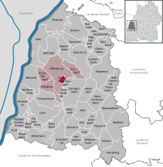
Ortenberg, located in Baden-Württemberg, Germany, is a charming area nestled in the picturesque Black Forest region. It offers a variety of hiking opportunities that cater to different skill levels, making it a great destination for both casual walkers and experienced hikers....
- Country:

- Postal Code: 77799
- Local Dialing Code: 0781
- Licence Plate Code: OG
- Coordinates: 48° 27' 5" N, 7° 58' 17" E


- GPS tracks (wikiloc): [Link]
- AboveSeaLevel: 163 м m
- Area: 5.66 sq km
- Population: 3397
- Web site: [Link]


Durbach
- municipality in Germany
Durbach, located in the Ortenaukreis district of Baden-Württemberg, Germany, is a picturesque village nestled in the scenic vineyards of the Black Forest region. It offers a range of hiking opportunities for outdoor enthusiasts looking to explore its beautiful landscapes....
- Country:

- Postal Code: 77770
- Local Dialing Code: 0781
- Licence Plate Code: OG
- Coordinates: 48° 29' 36" N, 8° 1' 19" E


- GPS tracks (wikiloc): [Link]
- AboveSeaLevel: 208 м m
- Area: 26.31 sq km
- Population: 3851
- Web site: [Link]


Steinach
- municipality in the district of Ortenau in Baden-Württemberg in Germany
Steinach, located in Baden-Württemberg, Germany, is a charming destination for hikers and outdoor enthusiasts. Nestled in the Black Forest, Steinach offers a variety of trails that cater to different skill levels, allowing for both leisurely walks and more strenuous hikes....
- Country:

- Postal Code: 77790
- Local Dialing Code: 07832
- Licence Plate Code: OG
- Coordinates: 48° 18' 16" N, 8° 3' 22" E


- GPS tracks (wikiloc): [Link]
- AboveSeaLevel: 205 м m
- Area: 33.32 sq km
- Population: 4040
- Web site: [Link]


Meißenheim
- municipality in Germany
Meißenheim is a quaint village located in the countryside of Baden-Württemberg, Germany, known for its beautiful natural landscapes and outdoor activities, including hiking. The area is surrounded by scenic views, with farmland, forests, and the Rhine River nearby, making it an attractive destination for hikers....
- Country:

- Postal Code: 77974
- Local Dialing Code: 07824
- Licence Plate Code: OG
- Coordinates: 48° 24' 37" N, 7° 46' 22" E


- GPS tracks (wikiloc): [Link]
- AboveSeaLevel: 151 м m
- Area: 21.33 sq km
- Population: 3754
- Web site: [Link]

Schwanau
- municipality in Germany
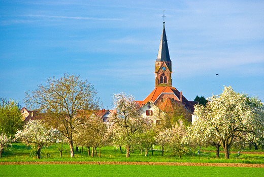
Schwanau, located in Baden-Württemberg, Germany, is a charming destination for hiking enthusiasts. Nestled near the scenic borders of the Black Forest and close to the Rhine River, Schwanau offers a mix of natural beauty and outdoor recreational opportunities. Here are some highlights for hiking in this area:...
- Country:

- Postal Code: 77963
- Local Dialing Code: 07824
- Licence Plate Code: OG
- Coordinates: 48° 20' 58" N, 7° 45' 34" E


- GPS tracks (wikiloc): [Link]
- AboveSeaLevel: 158 м m
- Area: 38.36 sq km
- Population: 6908
- Web site: [Link]


Seebach
- municipality in Germany
Seebach, located in Baden-Württemberg, Germany, is a charming village in the Black Forest region and offers a rich tapestry of hiking opportunities for enthusiasts of all skill levels. Here are some highlights and tips for hiking in Seebach:...
- Country:

- Postal Code: 77889
- Local Dialing Code: 07842
- Licence Plate Code: OG
- Coordinates: 48° 34' 36" N, 8° 10' 34" E


- GPS tracks (wikiloc): [Link]
- AboveSeaLevel: 602 м m
- Area: 19.05 sq km
- Population: 1383
- Web site: [Link]

Oberwolfach
- municipality in Germany
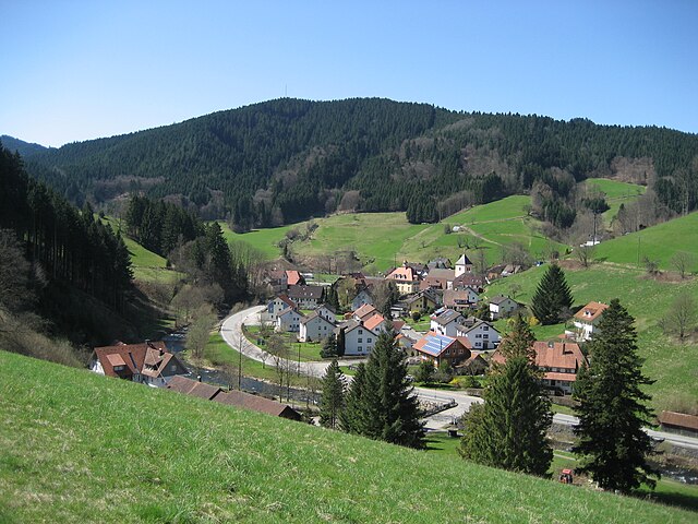
Oberwolfach is a picturesque village located in the Black Forest region of Germany, known for its stunning natural landscapes, scenic trails, and tranquil atmosphere. The area is perfect for hiking enthusiasts of all levels, providing a variety of trails that showcase the beauty of the Black Forest....
- Country:

- Postal Code: 77709
- Local Dialing Code: 07834
- Licence Plate Code: OG
- Coordinates: 48° 19' 0" N, 8° 13' 0" E


- GPS tracks (wikiloc): [Link]
- AboveSeaLevel: 288 м m
- Area: 51.27 sq km
- Population: 2571
- Web site: [Link]


Seelbach
- municipality in the Ortenau district, Germany
Seelbach, located in Baden-Württemberg, Germany, is a beautiful region for hiking enthusiasts. Nestled in the Black Forest, it offers a variety of trails that showcase the area's natural beauty, charming landscapes, and rich biodiversity. Here are some key points to consider if you're planning a hiking trip in Seelbach:...
- Country:

- Postal Code: 77960
- Local Dialing Code: 07823
- Licence Plate Code: OG
- Coordinates: 48° 18' 51" N, 7° 56' 29" E


- GPS tracks (wikiloc): [Link]
- AboveSeaLevel: 286 м m
- Area: 29.84 sq km
- Population: 4864
- Web site: [Link]


Ringsheim
- municipality in Germany
Ringsheim is a small village located in the Ortenau district of Baden-Württemberg, Germany, near the border with France. It is surrounded by beautiful landscapes, making it an inviting location for hiking enthusiasts. Here are some key highlights regarding hiking in and around Ringsheim:...
- Country:

- Postal Code: 77975
- Local Dialing Code: 07822
- Licence Plate Code: OG
- Coordinates: 48° 14' 51" N, 7° 46' 44" E


- GPS tracks (wikiloc): [Link]
- AboveSeaLevel: 225 м m
- Area: 11.31 sq km
- Population: 2347
- Web site: [Link]


Gutach (Schwarzwaldbahn)
- municipality in Germany
 Hiking in Gutach (Schwarzwaldbahn)
Gutach is a charming village located in the Black Forest region of Germany, known for its stunning natural landscapes, scenic trails, and traditional Black Forest architecture. When hiking in Gutach, you can expect to enjoy a variety of trails that cater to different skill levels, with options for leisurely strolls through the forest as well as more challenging hikes....
- Country:

- Postal Code: 77793
- Local Dialing Code: 07831; 07833
- Licence Plate Code: OG
- Coordinates: 48° 14' 55" N, 8° 12' 42" E


- GPS tracks (wikiloc): [Link]
- AboveSeaLevel: 294 м m
- Area: 31.74 sq km
- Population: 2238
- Web site: [Link]


Sasbach
- municipality in Germany
Sasbach is a charming village located in the Ortenaukreis district of Baden-Württemberg, Germany. It sits at the foot of the Black Forest, making it a great starting point for hiking enthusiasts. Here are some highlights and tips for hiking in and around Sasbach:...
- Country:

- Postal Code: 77880
- Local Dialing Code: 07841
- Licence Plate Code: WOL; LR; KEL; OG
- Coordinates: 48° 38' 18" N, 8° 5' 30" E


- GPS tracks (wikiloc): [Link]
- AboveSeaLevel: 147 м m
- Area: 16.74 sq km
- Population: 5412
- Web site: [Link]


Lauf
- municipality in Germany
Lauf (Baden), located in the region of Baden-Württemberg in Germany, is a charming town that offers various hiking opportunities. The surrounding areas are rich in natural beauty and provide several trails for hikers of different skill levels. Here are some highlights about hiking in and around Lauf:...
- Country:

- Postal Code: 77886
- Local Dialing Code: 07841
- Licence Plate Code: OG
- Coordinates: 48° 39' 0" N, 8° 8' 0" E


- GPS tracks (wikiloc): [Link]
- AboveSeaLevel: 220 м m
- Area: 15 sq km
- Population: 3848
- Web site: [Link]


Rust
- town in Baden-Württemberg in Germany
Hiking in Rust, Baden-Württemberg, offers an excellent opportunity to enjoy the natural beauty of the region, which is situated near the northern edge of the Black Forest and close to attractions like Europa-Park. Here are some highlights and tips for hiking in the area:...
- Country:

- Postal Code: 77977
- Local Dialing Code: 07822
- Licence Plate Code: OG
- Coordinates: 48° 16' 6" N, 7° 43' 40" E


- GPS tracks (wikiloc): [Link]
- AboveSeaLevel: 169 м m
- Area: 13.27 sq km
- Population: 3948
- Web site: [Link]

Lahr/Schwarzwald
- city in western Baden-Württemberg, Germany
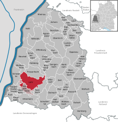
Lahr, situated in the Baden-Württemberg region of Germany, offers a variety of hiking opportunities that cater to different skill levels and preferences. The town is nestled near the foothills of the Black Forest, which is known for its picturesque landscapes, lush woodlands, and well-maintained trails....
- Country:

- Postal Code: 77933
- Local Dialing Code: 07821
- Coordinates: 48° 20' 21" N, 7° 52' 20" E


- GPS tracks (wikiloc): [Link]
- AboveSeaLevel: 170 м m
- Area: 69.86 sq km
- Population: 44195
- Web site: [Link]
