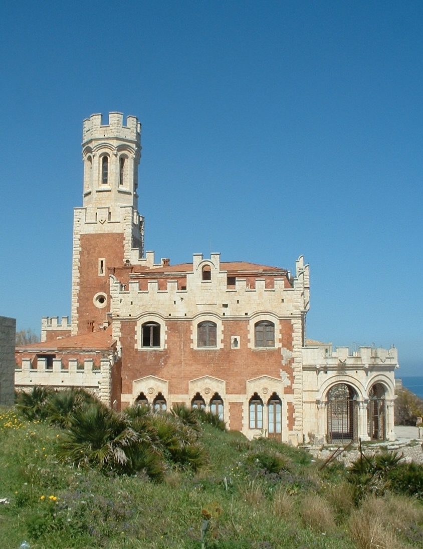
Pachino (Pachino)
.svg)
- Italian comune
 Hiking in Pachino
Pachino, located in the southern part of Sicily, Italy, offers a unique hiking experience with its beautiful landscapes, coastal views, and rich cultural heritage. While Pachino itself is a small town known for its agriculture, particularly its tomatoes, it serves as a great starting point for exploring the surrounding nature.
Nearby Hiking Opportunities:
-
Vendicari Nature Reserve:
- Just a short distance from Pachino, this reserve features stunning trails along the coastline, wetlands, and sandy beaches. The diverse ecosystem provides opportunities to spot various bird species and enjoy the natural beauty of Sicily’s flora and fauna.
-
Cava Grande del Cassibile:
- A bit further from Pachino, this gorge offers impressive hiking trails with breathtaking views, natural pools, and ancient ruins. The trail varies in difficulty, allowing hikers to choose a route that suits their fitness level.
-
Mount Iblei:
- Located to the northeast, the Iblei mountain range offers a variety of hiking paths with different levels of difficulty. The trails provide panoramic views and a chance to explore historical sites, such as ancient quarries and baroque architecture.
-
Lago di Lentini and Surrounding Areas:
- The area around Lago di Lentini features trails that connect waterways and scenic landscapes, perfect for those looking to combine hiking with birdwatching or photography.
Tips for Hiking in Pachino:
-
Best Time to Hike: The best seasons to hike in this region are spring (April to June) and fall (September to October) when temperatures are milder.
-
Gear: Wear comfortable hiking shoes and bring plenty of water, snacks, sunscreen, and a map or GPS device.
-
Local Guidance: Consider seeking out local hiking guides or joining organized hiking tours to get the most out of your experience.
-
Respect Nature: Follow the principles of Leave No Trace to protect the environment and preserve the beauty of the landscapes.
By combining stunning natural scenery with a touch of Sicilian culture, hiking in and around Pachino can be a delightful experience that showcases the region's unique beauty.
- Country:

- Postal Code: 96018
- Local Dialing Code: 0931
- Licence Plate Code: SR
- Coordinates: 36° 43' 0" N, 15° 6' 0" E


- GPS tracks (wikiloc): [Link]
- AboveSeaLevel: 65 м m
- Area: 50.98 sq km
- Population: 22237
- Web site: http://www.comune.pachino.sr.it
- Wikipedia en: wiki(en)
- Wikipedia: wiki(it)
- Wikidata storage: Wikidata: Q253989
- Wikipedia Commons Gallery: [Link]
- Wikipedia Commons Category: [Link]
- Freebase ID: [/m/0cx1w2]
- GeoNames ID: Alt: [6539213]
- VIAF ID: Alt: [124535469]
- OSM relation ID: [39153]
- GND ID: Alt: [4748078-6]
- Library of Congress authority ID: Alt: [n2003082907]
- UN/LOCODE: [ITPAC]
- Gran Enciclopèdia Catalana ID: [0048117]
- ISTAT ID: 089014
- Italian cadastre code: G211
Shares border with regions:


Ispica
- Italian comune
Hiking in Ispica
Ispica, located in the southeastern part of Sicily, Italy, is known for its beautiful landscapes, rich history, and diverse hiking opportunities. Here are some highlights of hiking in the Ispica area:...
- Country:
- Postal Code: 97014
- Local Dialing Code: 0932
- Licence Plate Code: RG
- Coordinates: 36° 47' 7" N, 14° 54' 25" E
- GPS tracks (wikiloc): [Link]
- AboveSeaLevel: 170 м m
- Area: 113.75 sq km
- Population: 16307
- Web site: [Link]


Noto
- Italian comune
Hiking in Noto
Noto, located in the southeastern region of Sicily, Italy, is renowned for its stunning Baroque architecture, beautiful landscapes, and rich cultural heritage. When it comes to hiking, Noto and its surrounding areas offer a variety of trails that showcase the beauty of the Sicilian countryside, including coastal views, vineyards, and ancient ruins....
- Country:
- Postal Code: 96017
- Local Dialing Code: 0931
- Licence Plate Code: SR
- Coordinates: 36° 53' 0" N, 15° 5' 0" E
- GPS tracks (wikiloc): [Link]
- AboveSeaLevel: 152 м m
- Area: 554.99 sq km
- Population: 24028
- Web site: [Link]

Portopalo di Capo Passero
- Italian comune
Hiking in Portopalo di Capo Passero
Portopalo di Capo Passero, located at the southern tip of Sicily, is a beautiful coastal town that offers some stunning hiking opportunities, especially for those who appreciate both natural beauty and cultural history. Here are some highlights of hiking in and around Portopalo:...
- Country:
- Postal Code: 96010
- Local Dialing Code: 0931
- Licence Plate Code: SR
- Coordinates: 36° 41' 10" N, 15° 8' 10" E
- GPS tracks (wikiloc): [Link]
- AboveSeaLevel: 20 м m
- Area: 15.09 sq km
- Population: 3932
- Web site: [Link]