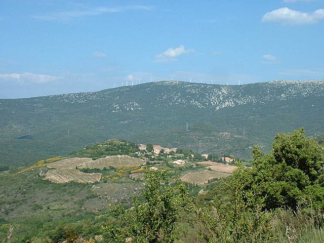
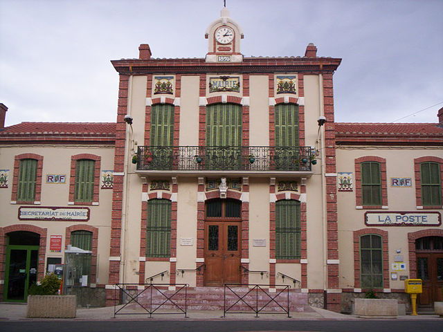
Padern (Padern)

- commune in Aude, France
- Country:

- Postal Code: 11350
- Coordinates: 42° 52' 4" N, 2° 39' 26" E


- GPS tracks (wikiloc): [Link]
- Area: 29.79 sq km
- Population: 124
- Web site: http://padern.free.fr
- Wikipedia en: wiki(en)
- Wikipedia: wiki(fr)
- Wikidata storage: Wikidata: Q201245
- Wikipedia Commons Category: [Link]
- Freebase ID: [/m/03m8_6v]
- GeoNames ID: Alt: [6426780]
- SIREN number: [211102702]
- BnF ID: [15246806r]
- OSM relation ID: [2741642]
- WOEID: [12667956]
- INSEE municipality code: 11270
Shares border with regions:

Montgaillard
- commune in Aude, France
- Country:
- Postal Code: 11330
- Coordinates: 42° 54' 37" N, 2° 37' 28" E
- GPS tracks (wikiloc): [Link]
- Area: 16.72 sq km
- Population: 47


Tuchan
- commune in Aude, France
- Country:
- Postal Code: 11350
- Coordinates: 42° 53' 18" N, 2° 43' 10" E
- GPS tracks (wikiloc): [Link]
- Area: 59.52 sq km
- Population: 763
- Web site: [Link]


Paziols
- commune in Aude, France
- Country:
- Postal Code: 11350
- Coordinates: 42° 51' 29" N, 2° 43' 12" E
- GPS tracks (wikiloc): [Link]
- Area: 28.02 sq km
- Population: 538


Cucugnan
- commune in Aude, France
- Country:
- Postal Code: 11350
- Coordinates: 42° 51' 4" N, 2° 36' 9" E
- GPS tracks (wikiloc): [Link]
- Area: 15.33 sq km
- Population: 129
- Web site: [Link]


Duilhac-sous-Peyrepertuse
- commune in Aude, France
- Country:
- Postal Code: 11350
- Coordinates: 42° 51' 48" N, 2° 33' 59" E
- GPS tracks (wikiloc): [Link]
- Area: 21.09 sq km
- Population: 148
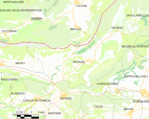
Tautavel
- commune in Pyrénées-Orientales, France
- Country:
- Postal Code: 66720
- Coordinates: 42° 48' 51" N, 2° 44' 47" E
- GPS tracks (wikiloc): [Link]
- Area: 53.47 sq km
- Population: 877
- Web site: [Link]