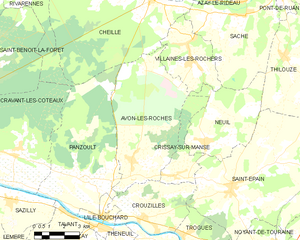
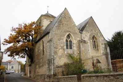
Panzoult (Panzoult)

- commune in Indre-et-Loire, France
- Country:

- Postal Code: 37220
- Coordinates: 47° 8' 46" N, 0° 24' 4" E


- GPS tracks (wikiloc): [Link]
- Area: 34.61 sq km
- Population: 551
- Web site: http://mairie-panzoult.com
- Wikipedia en: wiki(en)
- Wikipedia: wiki(fr)
- Wikidata storage: Wikidata: Q789005
- Wikipedia Commons Category: [Link]
- Freebase ID: [/m/03nvfy_]
- GeoNames ID: Alt: [6433076]
- SIREN number: [213701782]
- BnF ID: [15257729k]
- PACTOLS thesaurus ID: [pcrtYF8SMqhqKt]
- INSEE municipality code: 37178
Shares border with regions:

Avon-les-Roches
- commune in Indre-et-Loire, France
- Country:
- Postal Code: 37220
- Coordinates: 47° 9' 24" N, 0° 26' 55" E
- GPS tracks (wikiloc): [Link]
- Area: 33.28 sq km
- Population: 553
- Web site: [Link]


Cravant-les-Côteaux
- commune in Indre-et-Loire, France
- Country:
- Postal Code: 37500
- Coordinates: 47° 9' 28" N, 0° 20' 48" E
- GPS tracks (wikiloc): [Link]
- Area: 38.21 sq km
- Population: 696
- Web site: [Link]

Cheillé
- commune in Indre-et-Loire, France
- Country:
- Postal Code: 37190
- Coordinates: 47° 15' 16" N, 0° 27' 41" E
- GPS tracks (wikiloc): [Link]
- Area: 46.26 sq km
- Population: 1800
- Web site: [Link]

Sazilly
- commune in Indre-et-Loire, France
- Country:
- Postal Code: 37220
- Coordinates: 47° 8' 9" N, 0° 20' 31" E
- GPS tracks (wikiloc): [Link]
- Area: 10.57 sq km
- Population: 238


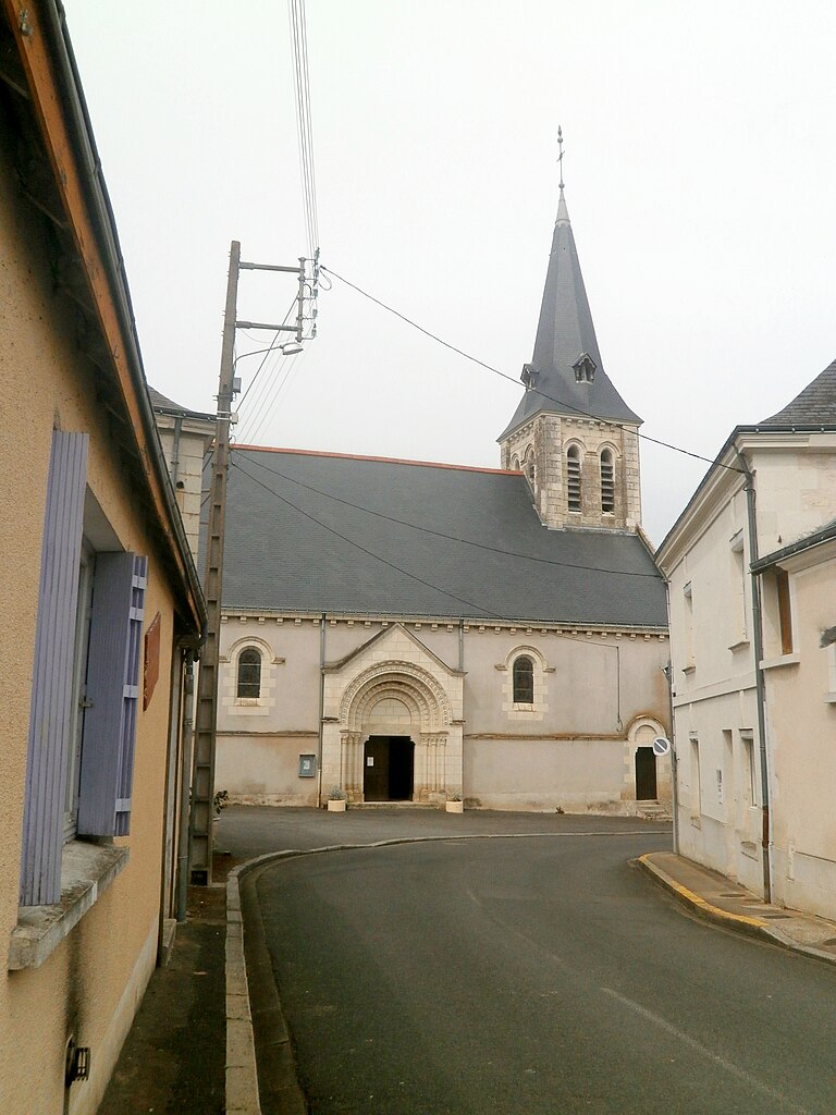
Crouzilles
- commune in Indre-et-Loire, France
- Country:
- Postal Code: 37220
- Coordinates: 47° 7' 24" N, 0° 27' 34" E
- GPS tracks (wikiloc): [Link]
- Area: 14.54 sq km
- Population: 550
- Web site: [Link]


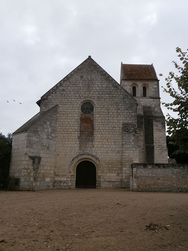
Tavant
- commune in Indre-et-Loire, France
- Country:
- Postal Code: 37220
- Coordinates: 47° 7' 33" N, 0° 23' 17" E
- GPS tracks (wikiloc): [Link]
- Area: 5.22 sq km
- Population: 266


L'Île-Bouchard
- commune in Indre-et-Loire, France
- Country:
- Postal Code: 37220
- Coordinates: 47° 7' 12" N, 0° 25' 29" E
- GPS tracks (wikiloc): [Link]
- Area: 3.48 sq km
- Population: 1610
- Web site: [Link]

Rivarennes
- commune in Indre-et-Loire, France
- Country:
- Postal Code: 37190
- Coordinates: 47° 15' 59" N, 0° 21' 14" E
- GPS tracks (wikiloc): [Link]
- Area: 18.92 sq km
- Population: 1016