
Passau (Passau)
.svg)
- town in Bavaria, Germany
 Hiking in Passau
Passau, located at the confluence of the Danube, Inn, and Ilz rivers in Bavaria, Germany, offers a unique mix of cultural and natural hiking experiences. The surrounding region is characterized by scenic landscapes, historic towns, and well-maintained trails, making it an excellent destination for hikers of all levels.
Hiking Trails and Areas:
-
Inn Cycle and Walking Path: This picturesque path runs alongside the Inn River, offering opportunities for both hiking and cycling. It provides beautiful views of the river and the surrounding landscape, making it ideal for leisurely walks.
-
Ilztal Nature Reserve: This area is known for its stunning natural beauty and diverse flora and fauna. The Ilz River winding through the reserve creates breathtaking scenery, and various hiking trails exist that allow you to explore this tranquil environment.
-
Danube River Path: This is part of the larger Danube Cycle Path but also suitable for hikers. The trail runs alongside the river, providing stunning views of the waterway, as well as access to charming villages and historic landmarks.
-
Veste Oberhaus: A short hike up to this historic fortress offers panoramic views of Passau and the surrounding rivers. The area around the fortress has several hiking paths, making it a great starting point for further exploration.
-
Hoher Bogen or Arber Mountain: For those looking for more challenging hikes, the nearby Bavarian Forest offers opportunities for longer trekking. These areas provide diverse trails ranging from easy hikes to more demanding ascents.
Tips for Hiking in Passau:
- Gear Up: Wear appropriate hiking shoes and pack sufficient water and snacks.
- Maps and Guides: It’s advisable to have a physical or digital map. Local tourism offices can provide maps and guides.
- Weather Considerations: Check the weather forecast before heading out, as conditions can change, especially in higher altitudes.
- Public Transport: Passau is well connected by public transport, making it easy to reach starting points for hikes in the surrounding areas.
Cultural Insights:
Along your hiking routes, you'll have the opportunity to explore charming villages, taste local Bavarian cuisine, and experience the region's rich history, especially in Passau itself, with its famous baroque architecture and the Three Rivers Historical Museum.
Overall, hiking in and around Passau offers a delightful combination of nature and culture, ensuring a memorable experience for all outdoor enthusiasts!
- Country:

- Postal Code: 94001; 94036; 94034; 94032
- Local Dialing Code: 0851
- Licence Plate Code: PA
- Coordinates: 48° 34' 0" N, 13° 28' 0" E


- GPS tracks (wikiloc): [Link]
- AboveSeaLevel: 312 м m
- Area: 69580000 sq km
- Population: 50566
- Web site: https://www.passau.de/
- Wikipedia en: wiki(en)
- Wikipedia: wiki(de)
- Wikidata storage: Wikidata: Q4190
- Wikipedia Commons Gallery: [Link]
- Wikipedia Commons Category: [Link]
- Wikipedia Commons Maps Category: [Link]
- Freebase ID: [/m/01h5td]
- GeoNames ID: Alt: [2855328]
- VIAF ID: Alt: [129000588]
- OSM relation ID: [62629]
- GND ID: Alt: [4044828-9]
- archINFORM location ID: [269]
- Library of Congress authority ID: Alt: [n80040815]
- MusicBrainz area ID: [06100a4b-5a59-4abc-bcc8-9ed5e696f584]
- WOEID: [684294]
- Quora topic ID: [Passau]
- Gran Enciclopèdia Catalana ID: [0049345]
- EMLO location ID: [ef5e4b59-9676-4d70-a18f-1d5f2f04f629]
- Facebook Places ID: [115395518476245]
- Bavarikon ID: [ODB_A00001428]
- NKCR AUT ID: [ge138805]
- DMOZ ID: Alt: [Regional/Europe/Germany/States/Bavaria/Localities/Passau/]
- National Library of Israel ID: [000978978]
- NUTS code: [DE222]
- German municipality key: 09262000
- German district key: 09262
Includes regions:
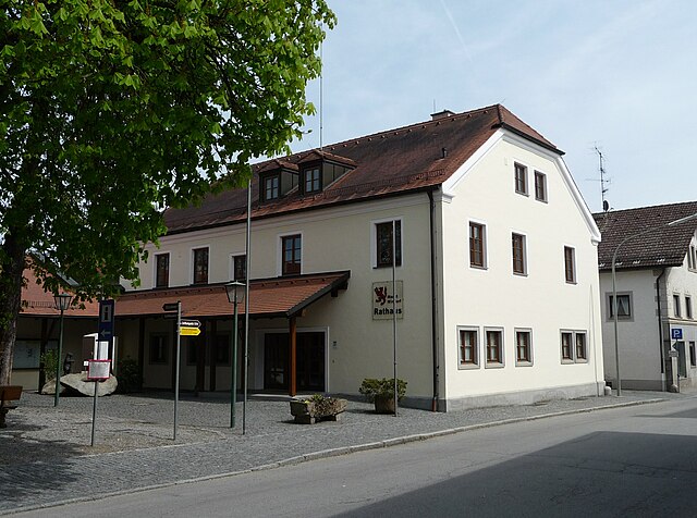
Grubweg
- human settlement in Germany
Hiking in Grubweg
Grubweg is a picturesque area that offers a wonderful hiking experience, often characterized by its serene landscapes and varied terrain. While I don’t have specific trails or details exclusively for Grubweg, I can provide general advice on what to expect and how to prepare for hiking there....
- Country:
- Coordinates: 48° 35' 10" N, 13° 29' 18" E
- GPS tracks (wikiloc): [Link]
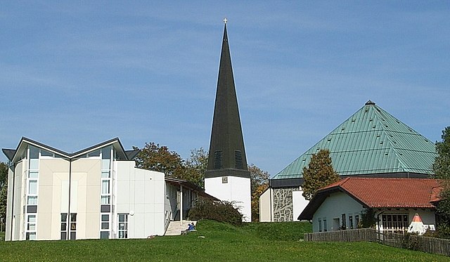
Hacklberg
- human settlement in Germany
Hiking in Hacklberg
Hacklberg, located near Passau in Bavaria, Germany, offers a range of scenic hiking opportunities, making it a great destination for both novice and experienced hikers. The area is characterized by its beautiful landscapes, including lush forests, rolling hills, and the Danube River....
- Country:
- Coordinates: 48° 34' 46" N, 13° 26' 18" E
- GPS tracks (wikiloc): [Link]
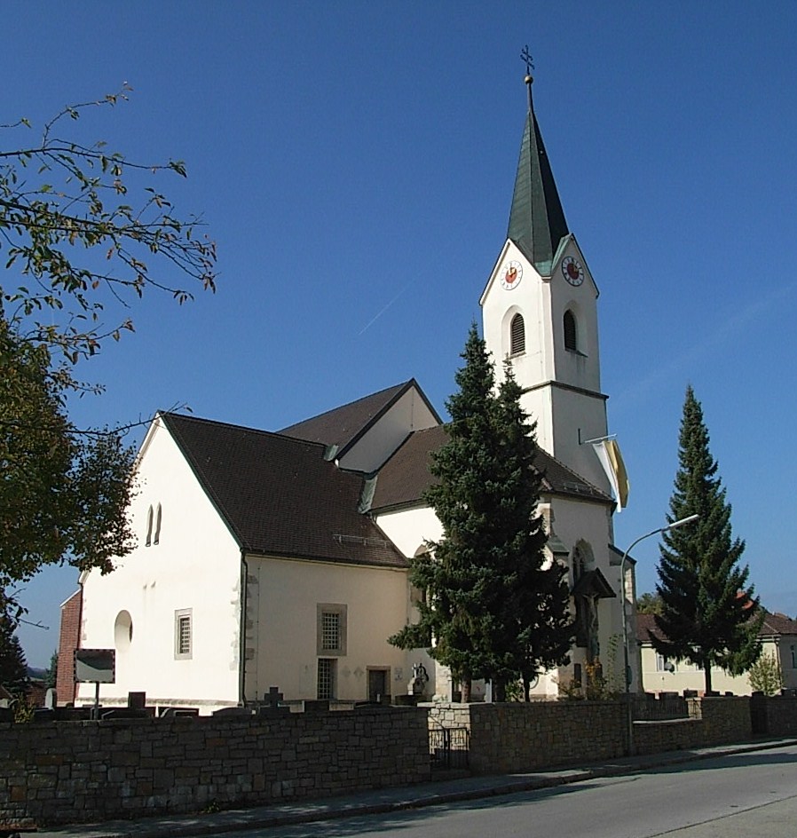
Heining
- human settlement in Germany
Hiking in Heining
Heining, which is a region near the city of Hainan in China, offers some beautiful hiking opportunities due to its lush landscapes and diverse ecosystems. Here are some points to consider if you’re planning a hiking trip in Heining:...
- Country:
- Coordinates: 48° 35' 4" N, 13° 23' 47" E
- GPS tracks (wikiloc): [Link]
Innstadt
- human settlement in Germany
Hiking in Innstadt
Innstadt, located in Germany near the Danube River, is not only known for its picturesque views and cultural significance but also offers some appealing hiking opportunities. While it may not be a hiking hotspot compared to other regions in Germany, there are beautiful trails nearby that allow you to explore the natural beauty of the area....
- Country:
- Coordinates: 48° 34' 16" N, 13° 28' 9" E
- GPS tracks (wikiloc): [Link]
Haidenhof
- human settlement in Germany
Hiking in Haidenhof
Haidenhof, located in the countryside of Germany, is a beautiful and scenic area that can offer a variety of hiking experiences for outdoor enthusiasts. While I don't have specific details about trails in Haidenhof, here are some general tips and what you might expect when hiking in such areas:...
- Country:
- Coordinates: 48° 34' 0" N, 13° 25' 45" E
- GPS tracks (wikiloc): [Link]

Hals
- human settlement in Germany
Hiking in Hals
Hals, located in the vicinity of Passau, Germany, offers some beautiful hiking opportunities, especially for those who enjoy nature and scenic landscapes. The region is characterized by its rolling hills, rivers, and forests, making it a great place for outdoor activities....
- Country:
- Coordinates: 48° 35' 20" N, 13° 27' 50" E
- GPS tracks (wikiloc): [Link]
Altstadt (Passau)
- quarter of Passau, Germany
Hiking in Altstadt (Passau)
Altstadt (Old Town) in Passau, Germany, is known for its beautiful architecture, historical sites, and picturesque views rather than traditional hiking trails. However, there are plenty of opportunities for walking and exploring the natural scenery in and around Passau....
- Country:
- Coordinates: 48° 34' 30" N, 13° 28' 0" E
- GPS tracks (wikiloc): [Link]
Shares border with regions:

Passau
- district of Bavaria, Germany
Hiking in Passau
Hiking in the Passau district, located in the southeast of Bavaria, Germany, offers an array of scenic trails and beautiful landscapes characterized by hills, forests, rivers, and charming villages. The Passau area is known for its impressive natural beauty, making it a great destination for hikers of all experience levels. Below are some highlights of hiking in the region:...
- Country:
- Capital: Passau
- Licence Plate Code: PA
- Coordinates: 48° 30' 0" N, 13° 19' 48" E
- GPS tracks (wikiloc): [Link]
- AboveSeaLevel: 364 м m
- Area: 1530.04 sq km
- Population: 162355
- Web site: [Link]

Schardenberg
- municipality in Austria
Hiking in Schardenberg
Schardenberg, located in Upper Austria near the Austrian-German border, offers a variety of hiking opportunities that combine beautiful landscapes, rich natural diversity, and cultural experiences. Here are some highlights and tips for hiking in the area:...
- Country:

- Postal Code: 4784
- Local Dialing Code: 07713
- Licence Plate Code: SD
- Coordinates: 48° 31' 13" N, 13° 29' 51" E
- GPS tracks (wikiloc): [Link]
- AboveSeaLevel: 543 м m
- Area: 32 sq km
- Population: 2407
- Web site: [Link]


Fürstenzell
- municipality of Germany
Hiking in Fürstenzell
Fürstenzell is a charming municipality located in Bavaria, Germany, known for its picturesque landscapes and outdoor activities, including hiking. The area is characterized by rolling hills, wooded areas, and beautiful countryside, making it an ideal destination for nature enthusiasts and hikers....
- Country:
- Postal Code: 94081
- Local Dialing Code: 08502
- Licence Plate Code: PA
- Coordinates: 48° 31' 21" N, 13° 19' 4" E
- GPS tracks (wikiloc): [Link]
- AboveSeaLevel: 358 м m
- Area: 79.36 sq km
- Population: 6794
- Web site: [Link]


Vilshofen an der Donau
- municipality of Germany
Hiking in Vilshofen an der Donau
Vilshofen an der Donau is a picturesque town located in Bavaria, Germany, along the banks of the Danube River. This area offers a variety of hiking opportunities suitable for different skill levels, enhanced by its stunning landscapes, lush forests, and charming riverside views....
- Country:
- Postal Code: 94474
- Local Dialing Code: 08549; 08548; 08541
- Licence Plate Code: PA
- Coordinates: 48° 37' 59" N, 13° 11' 18" E
- GPS tracks (wikiloc): [Link]
- AboveSeaLevel: 308 м m
- Area: 86.29 sq km
- Population: 15142
- Web site: [Link]

Windorf
- municipality of Germany
Hiking in Windorf
Hiking in Windorf can be a fantastic experience, as it often features beautiful landscapes, diverse terrain, and opportunities for outdoor adventure. While specific details about Windorf may vary depending on the region you are referring to (as there are places named Windorf in different countries), I can provide general tips and information that are applicable to hiking in many scenic areas....
- Country:
- Postal Code: 94575
- Local Dialing Code: 08546
- Licence Plate Code: PA
- Coordinates: 48° 37' 30" N, 13° 13' 30" E
- GPS tracks (wikiloc): [Link]
- AboveSeaLevel: 306 м m
- Area: 56.9 sq km
- Population: 4212
- Web site: [Link]

Salzweg
- municipality of Germany
Hiking in Salzweg
Salzweg is a municipality located in Bavaria, Germany, near Passau, which is known for its beautiful landscapes and outdoor opportunities. Hiking enthusiasts will find plenty to explore in this region, characterized by rolling hills, scenic valleys, and lush forests....
- Country:
- Postal Code: 94121
- Local Dialing Code: 0851
- Licence Plate Code: PA
- Coordinates: 48° 36' 57" N, 13° 28' 57" E
- GPS tracks (wikiloc): [Link]
- AboveSeaLevel: 452 м m
- Area: 31.94 sq km
- Population: 5018
- Web site: [Link]


Thyrnau
- municipality of Germany
Hiking in Thyrnau
Thyrnau is a picturesque village located in the Lower Bavaria region of Germany. Nestled near the Danube River and surrounded by scenic landscapes, it offers various hiking opportunities for outdoor enthusiasts....
- Country:
- Postal Code: 94136
- Local Dialing Code: 08501
- Licence Plate Code: PA
- Coordinates: 48° 36' 54" N, 13° 32' 13" E
- GPS tracks (wikiloc): [Link]
- AboveSeaLevel: 456 м m
- Area: 33.74 sq km
- Population: 3534
- Web site: [Link]


Neuburg am Inn
- municipality of Germany
Hiking in Neuburg am Inn
Neuburg am Inn, a picturesque town situated along the Danube River in Bavaria, Germany, offers a variety of hiking opportunities for outdoor enthusiasts. The region is characterized by its beautiful landscapes, including forests, hills, and riverbanks, making it ideal for both easy walks and more challenging hikes....
- Country:
- Postal Code: 94127
- Local Dialing Code: 08507; 08502
- Licence Plate Code: PA
- Coordinates: 48° 30' 22" N, 13° 26' 54" E
- GPS tracks (wikiloc): [Link]
- AboveSeaLevel: 452 м m
- Area: 41.75 sq km
- Population: 3257
- Web site: [Link]

Tiefenbach
- human settlement in Germany
Hiking in Tiefenbach
Tiefenbach, near Passau in Germany, is a wonderful area for hiking, boasting beautiful landscapes, scenic views, and a variety of trails suitable for different skill levels. Here are some key points about hiking in this area:...
- Country:
- Postal Code: 94113
- Local Dialing Code: 08509
- Licence Plate Code: PA
- Coordinates: 48° 37' 28" N, 13° 23' 56" E
- GPS tracks (wikiloc): [Link]
- AboveSeaLevel: 373 м m
- Area: 49.71 sq km
- Population: 5524
- Web site: [Link]
Freinberg
- municipality in Austria
Hiking in Freinberg
Freinberg is a fantastic hiking destination located in Austria, particularly known for its scenic landscapes and variety of trails suitable for different skill levels. Here are some key points about hiking in the Freinberg area:...
- Country:
- Postal Code: 4785
- Local Dialing Code: 07713
- Licence Plate Code: SD
- Coordinates: 48° 34' 0" N, 13° 31' 0" E
- GPS tracks (wikiloc): [Link]
- AboveSeaLevel: 455 м m
- Area: 20 sq km
- Population: 1458
- Web site: [Link]