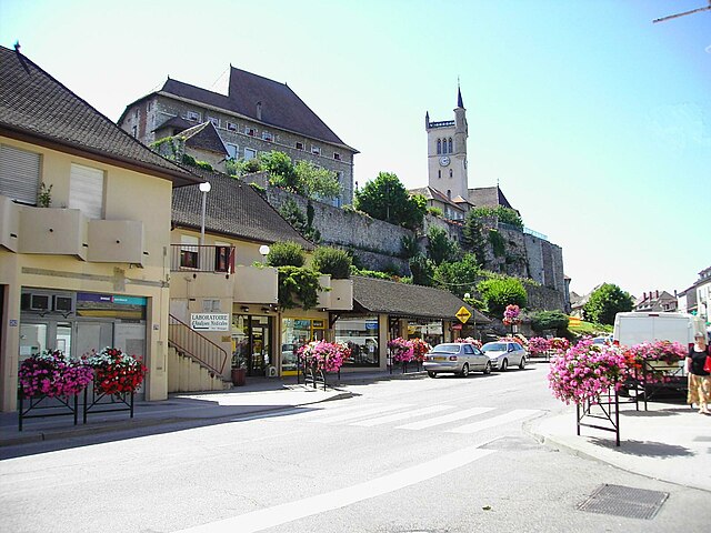
Passins (Passins)

- former commune in Isère, France
 Hiking in Passins
Passins is a picturesque village located in the Auvergne-Rhône-Alpes region of France, near the foothills of the French Alps. While it may not be as widely known as larger hiking destinations, Passins and its surrounding areas offer a variety of beautiful hiking opportunities that cater to different skill levels.
Hiking Trails
-
Local Trails: The region around Passins has well-marked trails that typically lead through charming landscapes, including vineyards, forests, and rolling hills. These trails can often be enjoyed in a half-day to full-day hike.
-
Nearby Parc Naturel Régional de la Chartreuse: A short drive from Passins, this regional park provides more extensive hiking options. The Chartreuse Mountains are known for their rugged terrain, lush forests, and stunning views. There are trails suitable for both beginner and experienced hikers.
-
Lac de Paladru: A beautiful lake just a bit further away from Passins offers a scenic environment for hiking. The trails around the lake provide gentle walks with opportunities for bird watching and enjoying the natural beauty of the area.
Hiking Tips
-
Season: Spring and autumn are generally the best times for hiking in this region, offering mild temperatures and stunning natural colors. Summers can be warm, while winters are suitable for snowshoeing or winter hiking in higher elevations.
-
Equipment: Ensure you have proper hiking shoes, sufficient water, snacks, and layers suited to the weather conditions. A map or GPS device is also advisable.
-
Local Guides: Consider hiring a local guide if you're unfamiliar with the area. They can provide valuable insights on the best trails, wildlife, and local flora.
-
Respect Nature: Always follow Leave No Trace principles to protect the natural environment. Stay on marked trails, and dispose of waste properly.
Notable Views
Hiking in and around Passins often provides enchanting views of the surrounding landscapes, including the Rhône Valley and, farther off, the towering peaks of the Alps. Sunrise and sunset hikes can be particularly rewarding for witnessing breathtaking scenery.
If you plan to hike in Passins or nearby areas, make sure to do a bit of research ahead of time for trail conditions and necessary permits, especially for more popular trails. Happy hiking!
- Country:

- Postal Code: 38510
- Coordinates: 45° 41' 16" N, 5° 25' 46" E


- GPS tracks (wikiloc): [Link]
- Area: 13.92 sq km
- Population: 1168
- Web site: http://www.passins.fr
- Wikipedia en: wiki(en)
- Wikipedia: wiki(fr)
- Wikidata storage: Wikidata: Q1068823
- Wikipedia Commons Category: [Link]
- Freebase ID: [/m/03nvkn7]
- GeoNames ID: Alt: [6433281]
- BnF ID: [15258109j]
- INSEE municipality code: 38297
Shares border with regions:


Courtenay
- commune in Isère, France
Hiking in Courtenay
Courtenay, located in the Isère department of France, is surrounded by beautiful mountainous landscapes, making it a great destination for hiking enthusiasts. Here are some highlights and considerations for hiking in the area:...
- Country:
- Postal Code: 38510
- Coordinates: 45° 43' 45" N, 5° 22' 45" E
- GPS tracks (wikiloc): [Link]
- Area: 32.08 sq km
- Population: 1276
- Web site: [Link]

Morestel
- commune in Isère, France
Hiking in Morestel
Morestel, a charming town in the Auvergne-Rhône-Alpes region of France, offers a variety of hiking opportunities that showcase its beautiful landscapes, historical sites, and natural surroundings. Here are some highlights for hiking in Morestel:...
- Country:
- Postal Code: 38510
- Coordinates: 45° 40' 40" N, 5° 28' 12" E
- GPS tracks (wikiloc): [Link]
- Area: 8.03 sq km
- Population: 4364
- Web site: [Link]


Sermérieu
- commune in Isère, France
Hiking in Sermérieu
Sermérieu is a small commune located in the Isère department of southeastern France. Nestled in a picturesque part of the Rhône-Alpes region, it offers several opportunities for hiking and enjoying the outdoors. Here are some things to know about hiking in and around Sermérieu:...
- Country:
- Postal Code: 38510
- Coordinates: 45° 40' 17" N, 5° 24' 35" E
- GPS tracks (wikiloc): [Link]
- Area: 17.14 sq km
- Population: 1640
- Web site: [Link]
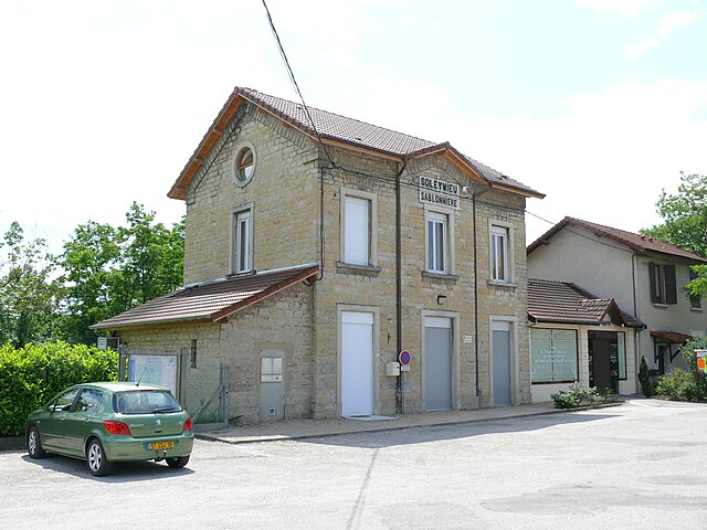

Soleymieu
- commune in Isère, France
Hiking in Soleymieu
Soleymieu, located in the Auvergne-Rhône-Alpes region of France, offers a delightful environment for hiking enthusiasts with its picturesque landscapes and varied terrains. Here are some key points to consider when planning a hike in Soleymieu:...
- Country:
- Postal Code: 38460
- Coordinates: 45° 42' 35" N, 5° 20' 59" E
- GPS tracks (wikiloc): [Link]
- Area: 13.36 sq km
- Population: 776


Arandon
- former commune in Isère, France
Hiking in Arandon
Arandon is not widely recognized as a primary hiking destination, and information can vary depending on which specific region you mean, as there might be various places or trails with similar names. It's important to clarify or specify a particular area, as many locations around the world offer beautiful hiking opportunities under various names....
- Country:
- Postal Code: 38510
- Coordinates: 45° 42' 39" N, 5° 25' 45" E
- GPS tracks (wikiloc): [Link]
- Area: 12.22 sq km
- Population: 623