Pierric (Pierric)

- commune in Loire-Atlantique, France
- Country:

- Postal Code: 44290
- Coordinates: 47° 41' 12" N, 1° 44' 9" E


- GPS tracks (wikiloc): [Link]
- Area: 27.3 sq km
- Population: 981
- Web site: http://www.cc-pays-redon.fr/index.jsp?id=52
- Wikipedia en: wiki(en)
- Wikipedia: wiki(fr)
- Wikidata storage: Wikidata: Q1165169
- Wikipedia Commons Category: [Link]
- Freebase ID: [/m/03nwcs0]
- Freebase ID: [/m/03nwcs0]
- GeoNames ID: Alt: [2987217]
- GeoNames ID: Alt: [2987217]
- SIREN number: [214401234]
- SIREN number: [214401234]
- BnF ID: [15260292g]
- BnF ID: [15260292g]
- INSEE municipality code: 44123
- INSEE municipality code: 44123
Shares border with regions:


Conquereuil
- commune in Loire-Atlantique, France
- Country:
- Postal Code: 44290
- Coordinates: 47° 37' 28" N, 1° 45' 5" E
- GPS tracks (wikiloc): [Link]
- Area: 32.87 sq km
- Population: 1099

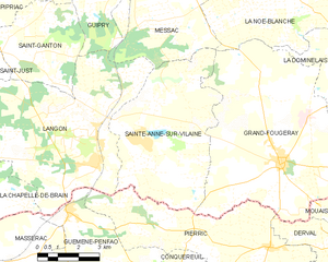
Sainte-Anne-sur-Vilaine
- commune in Ille-et-Vilaine, France
- Country:
- Postal Code: 35390
- Coordinates: 47° 43' 50" N, 1° 49' 32" E
- GPS tracks (wikiloc): [Link]
- Area: 28.57 sq km
- Population: 991
- Web site: [Link]


Grand-Fougeray
- commune in Ille-et-Vilaine, France
- Country:
- Postal Code: 35390
- Coordinates: 47° 43' 23" N, 1° 43' 59" E
- GPS tracks (wikiloc): [Link]
- Area: 55.42 sq km
- Population: 2462
- Web site: [Link]


Langon
- commune in Ille-et-Vilaine, France
- Country:
- Postal Code: 35660
- Coordinates: 47° 43' 11" N, 1° 50' 53" E
- GPS tracks (wikiloc): [Link]
- Area: 36.54 sq km
- Population: 1463
- Web site: [Link]

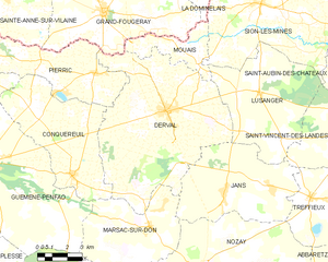
Derval
- commune in Loire-Atlantique, France
- Country:
- Postal Code: 44590
- Coordinates: 47° 40' 3" N, 1° 40' 17" E
- GPS tracks (wikiloc): [Link]
- Area: 63.51 sq km
- Population: 3487
- Web site: [Link]


Guémené-Penfao
- commune in Loire-Atlantique, France
- Country:
- Postal Code: 44290
- Coordinates: 47° 37' 48" N, 1° 49' 57" E
- GPS tracks (wikiloc): [Link]
- Area: 105.51 sq km
- Population: 5231
- Web site: [Link]