Pléchâtel (Pléchâtel)

- commune in Ille-et-Vilaine, France
- Country:

- Postal Code: 35470
- Coordinates: 47° 53' 40" N, 1° 44' 55" E


- GPS tracks (wikiloc): [Link]
- Area: 36.32 sq km
- Population: 2716
- Web site: http://www.plechatel.fr
- Wikipedia en: wiki(en)
- Wikipedia: wiki(fr)
- Wikidata storage: Wikidata: Q1011295
- Wikipedia Commons Category: [Link]
- Freebase ID: [/m/03m9988]
- Freebase ID: [/m/03m9988]
- GeoNames ID: Alt: [6432785]
- GeoNames ID: Alt: [6432785]
- SIREN number: [213502214]
- SIREN number: [213502214]
- BnF ID: [152571633]
- BnF ID: [152571633]
- VIAF ID: Alt: [235070981]
- VIAF ID: Alt: [235070981]
- OSM relation ID: [140830]
- OSM relation ID: [140830]
- INSEE municipality code: 35221
- INSEE municipality code: 35221
Shares border with regions:

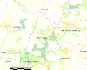
Saint-Senoux
- commune in Ille-et-Vilaine, France
- Country:
- Postal Code: 35580
- Coordinates: 47° 54' 21" N, 1° 47' 16" E
- GPS tracks (wikiloc): [Link]
- Area: 18.29 sq km
- Population: 1822
- Web site: [Link]


Poligné
- commune in Ille-et-Vilaine, France
- Country:
- Postal Code: 35320
- Coordinates: 47° 53' 15" N, 1° 41' 11" E
- GPS tracks (wikiloc): [Link]
- Area: 9.24 sq km
- Population: 1182
- Web site: [Link]

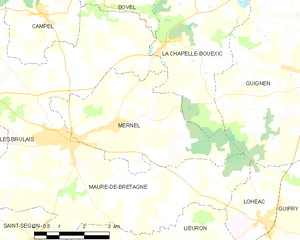
Mernel
- commune in Ille-et-Vilaine, France
- Country:
- Postal Code: 35330
- Coordinates: 47° 53' 52" N, 1° 58' 2" E
- GPS tracks (wikiloc): [Link]
- Area: 17.37 sq km
- Population: 1047
- Web site: [Link]


Bain-de-Bretagne
- commune in Ille-et-Vilaine, France
- Country:
- Postal Code: 35470
- Coordinates: 47° 50' 39" N, 1° 41' 5" E
- GPS tracks (wikiloc): [Link]
- Area: 64.77 sq km
- Population: 7335
- Web site: [Link]


Saint-Malo-de-Phily
- commune in Ille-et-Vilaine, France
- Country:
- Postal Code: 35480
- Coordinates: 47° 52' 38" N, 1° 47' 19" E
- GPS tracks (wikiloc): [Link]
- Area: 18.77 sq km
- Population: 1091


Pancé
- commune in Ille-et-Vilaine, France
- Country:
- Postal Code: 35320
- Coordinates: 47° 52' 53" N, 1° 39' 30" E
- GPS tracks (wikiloc): [Link]
- Area: 19.33 sq km
- Population: 1156
- Web site: [Link]


Bourg-des-Comptes
- commune in Ille-et-Vilaine, France
- Country:
- Postal Code: 35890
- Coordinates: 47° 55' 45" N, 1° 44' 33" E
- GPS tracks (wikiloc): [Link]
- Area: 23.41 sq km
- Population: 3241
- Web site: [Link]