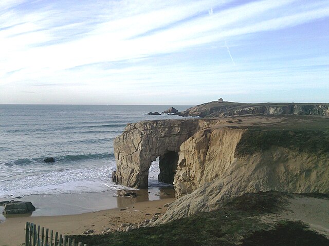
Plouharnel (Plouharnel)
- commune in Morbihan, France
- Country:

- Postal Code: 56340
- Coordinates: 47° 35' 53" N, 3° 6' 46" E


- GPS tracks (wikiloc): [Link]
- Area: 18.32 sq km
- Population: 2144
- Web site: http://mairie.plouharnel.fr
- Wikipedia en: wiki(en)
- Wikipedia: wiki(fr)
- Wikidata storage: Wikidata: Q127874
- Wikipedia Commons Category: [Link]
- Freebase ID: [/m/03c7g21]
- GeoNames ID: Alt: [6437341]
- SIREN number: [215601683]
- BnF ID: [15265417g]
- VIAF ID: Alt: [141913375]
- GND ID: Alt: [4116001-0]
- Library of Congress authority ID: Alt: [n82047836]
- INSEE municipality code: 56168
- GNS Unique Feature ID: -1458786
Shares border with regions:


Saint-Pierre-Quiberon
- commune in Morbihan, France
- Country:

- Postal Code: 56510
- Coordinates: 47° 31' 15" N, 3° 8' 3" E


- GPS tracks (wikiloc): [Link]
- Area: 7.54 sq km
- Population: 2084
- Web site: [Link]


Erdeven
- commune in Morbihan, France
- Country:

- Postal Code: 56410
- Coordinates: 47° 38' 32" N, 3° 9' 24" E


- GPS tracks (wikiloc): [Link]
- Area: 30.64 sq km
- Population: 3583
- Web site: [Link]


Carnac
- commune in Morbihan, France
- Country:

- Postal Code: 56340
- Coordinates: 47° 35' 5" N, 3° 4' 40" E


- GPS tracks (wikiloc): [Link]
- AboveSeaLevel: 16 м m
- Area: 32.71 sq km
- Population: 4236
- Web site: [Link]
