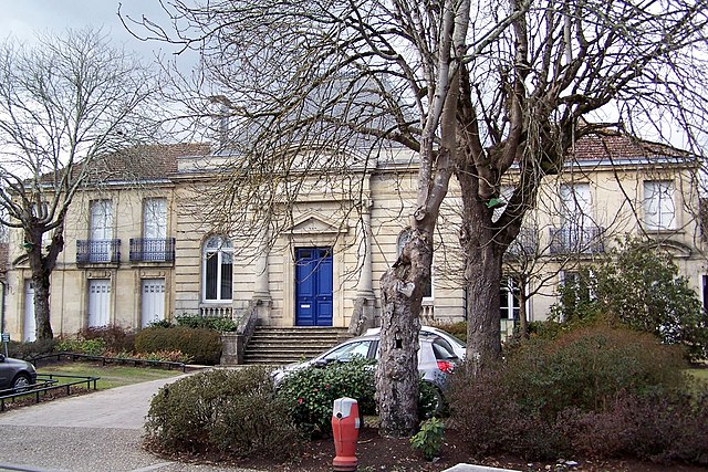
Podensac (Podensac)

- commune in Gironde, France
- Country:

- Postal Code: 33720
- Coordinates: 44° 39' 4" N, 0° 21' 19" E


- GPS tracks (wikiloc): [Link]
- Area: 8.34 sq km
- Population: 3168
- Web site: http://www.podensac.fr
- Wikipedia en: wiki(en)
- Wikipedia: wiki(fr)
- Wikidata storage: Wikidata: Q194315
- Wikipedia Commons Category: [Link]
- Freebase ID: [/m/026qzkd]
- GeoNames ID: Alt: [6432341]
- SIREN number: [213303274]
- BnF ID: [15256378f]
- VIAF ID: Alt: [246975334]
- archINFORM location ID: [5386]
- INSEE municipality code: 33327
Shares border with regions:


Virelade
- commune in Gironde, France
- Country:
- Postal Code: 33720
- Coordinates: 44° 39' 58" N, 0° 22' 54" E
- GPS tracks (wikiloc): [Link]
- Area: 13.41 sq km
- Population: 1045
- Web site: [Link]

Béguey
- commune in Gironde, France
- Country:
- Postal Code: 33410
- Coordinates: 44° 38' 34" N, 0° 19' 24" E
- GPS tracks (wikiloc): [Link]
- Area: 3.16 sq km
- Population: 1173
- Web site: [Link]


Cérons
- commune in Gironde, France
- Country:
- Postal Code: 33720
- Coordinates: 44° 37' 53" N, 0° 20' 11" E
- GPS tracks (wikiloc): [Link]
- Area: 7.83 sq km
- Population: 2096
- Web site: [Link]
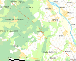
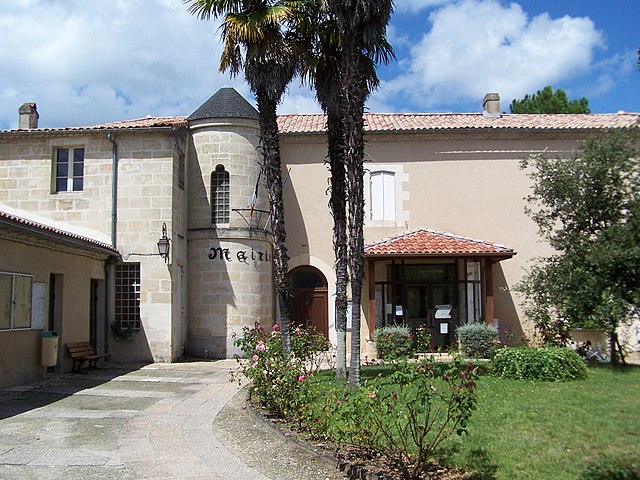
Illats
- commune in Gironde, France
- Country:
- Postal Code: 33720
- Coordinates: 44° 35' 51" N, 0° 22' 22" E
- GPS tracks (wikiloc): [Link]
- Area: 29.24 sq km
- Population: 1396
- Web site: [Link]


Rions
- commune in Gironde, France
- Country:
- Postal Code: 33410
- Coordinates: 44° 39' 49" N, 0° 21' 8" E
- GPS tracks (wikiloc): [Link]
- Area: 10.65 sq km
- Population: 1570
- Web site: [Link]