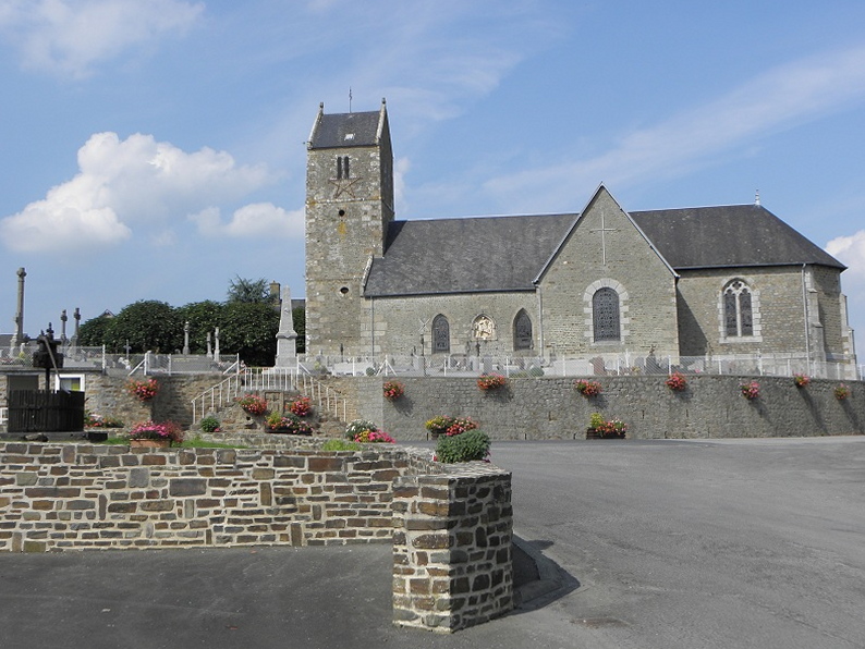
Poilley (Poilley)

- commune in Manche, France
- Country:

- Postal Code: 50220
- Coordinates: 48° 37' 6" N, 1° 18' 36" E


- GPS tracks (wikiloc): [Link]
- Area: 12.65 sq km
- Population: 891
- Wikipedia en: wiki(en)
- Wikipedia: wiki(fr)
- Wikidata storage: Wikidata: Q945840
- Wikipedia Commons Category: [Link]
- Freebase ID: [/m/03qf6rq]
- Freebase ID: [/m/03qf6rq]
- GeoNames ID: Alt: [6435534]
- GeoNames ID: Alt: [6435534]
- SIREN number: [215004078]
- SIREN number: [215004078]
- BnF ID: [15262381k]
- BnF ID: [15262381k]
- INSEE municipality code: 50407
- INSEE municipality code: 50407
Shares border with regions:


Saint-Quentin-sur-le-Homme
- commune in Manche, France
- Country:
- Postal Code: 50220
- Coordinates: 48° 38' 51" N, 1° 19' 0" E
- GPS tracks (wikiloc): [Link]
- Area: 16.84 sq km
- Population: 1219
- Web site: [Link]

Juilley
- commune in Manche, France
- Country:
- Postal Code: 50220
- Coordinates: 48° 35' 58" N, 1° 20' 38" E
- GPS tracks (wikiloc): [Link]
- Area: 11.23 sq km
- Population: 688


Saint-Aubin-de-Terregatte
- commune in Manche, France
- Country:
- Postal Code: 50111
- Coordinates: 48° 34' 33" N, 1° 17' 58" E
- GPS tracks (wikiloc): [Link]
- Area: 20.96 sq km
- Population: 685
- Web site: [Link]


Pontaubault
- commune in Manche, France
- Country:
- Postal Code: 50220
- Coordinates: 48° 37' 45" N, 1° 21' 3" E
- GPS tracks (wikiloc): [Link]
- Area: 1.94 sq km
- Population: 533
- Web site: [Link]