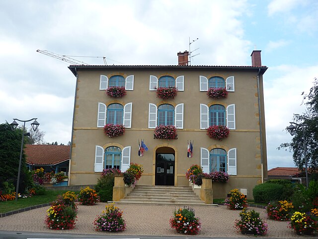
Pontcharra-sur-Turdine (Pontcharra-sur-Turdine)

- commune in Rhône, France
- Country:

- Postal Code: 69490
- Coordinates: 45° 52' 27" N, 4° 29' 24" E


- GPS tracks (wikiloc): [Link]
- Area: 4.73 sq km
- Population: 2661
- Web site: http://www.pontcharra69.fr
- Wikipedia en: wiki(en)
- Wikipedia: wiki(fr)
- Wikidata storage: Wikidata: Q610731
- Wikipedia Commons Category: [Link]
- Wikipedia Commons Maps Category: [Link]
- Freebase ID: [/m/03qggm5]
- Freebase ID: [/m/03qggm5]
- GeoNames ID: Alt: [6441730]
- GeoNames ID: Alt: [6441730]
- SIREN number: [216901579]
- SIREN number: [216901579]
- BnF ID: [15272245n]
- BnF ID: [15272245n]
- VIAF ID: Alt: [240035004]
- VIAF ID: Alt: [240035004]
- PACTOLS thesaurus ID: [pcrtS4QWcGLupQ]
- PACTOLS thesaurus ID: [pcrtS4QWcGLupQ]
- INSEE municipality code: 69157
- INSEE municipality code: 69157
Shares border with regions:

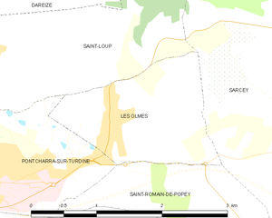
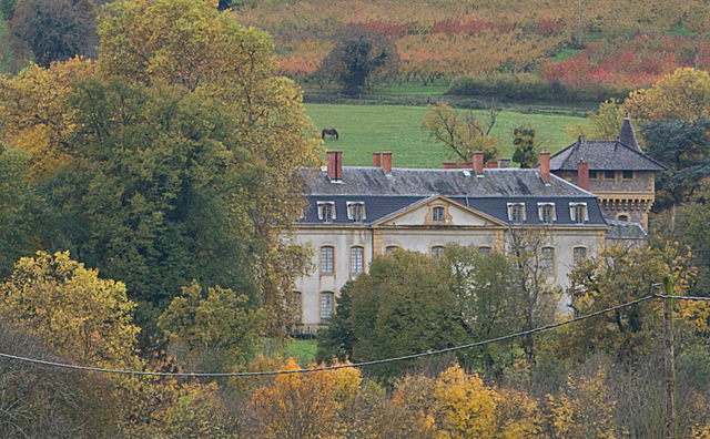
Les Olmes
- commune in Rhône, France
- Country:
- Postal Code: 69490
- Coordinates: 45° 53' 0" N, 4° 30' 59" E
- GPS tracks (wikiloc): [Link]
- Area: 2.78 sq km
- Population: 788

Saint-Romain-de-Popey
- commune in Rhône, France
- Country:
- Postal Code: 69490
- Coordinates: 45° 50' 50" N, 4° 31' 52" E
- GPS tracks (wikiloc): [Link]
- Area: 17.02 sq km
- Population: 1519
- Web site: [Link]


Saint-Forgeux
- commune in Rhône, France
- Country:
- Postal Code: 69490
- Coordinates: 45° 51' 32" N, 4° 28' 29" E
- GPS tracks (wikiloc): [Link]
- Area: 22.27 sq km
- Population: 1488
- Web site: [Link]

Saint-Loup, Rhône
- commune in Rhône, France
- Country:
- Postal Code: 69490
- Coordinates: 45° 53' 41" N, 4° 29' 22" E
- GPS tracks (wikiloc): [Link]
- Area: 9.65 sq km
- Population: 1037
- Web site: [Link]