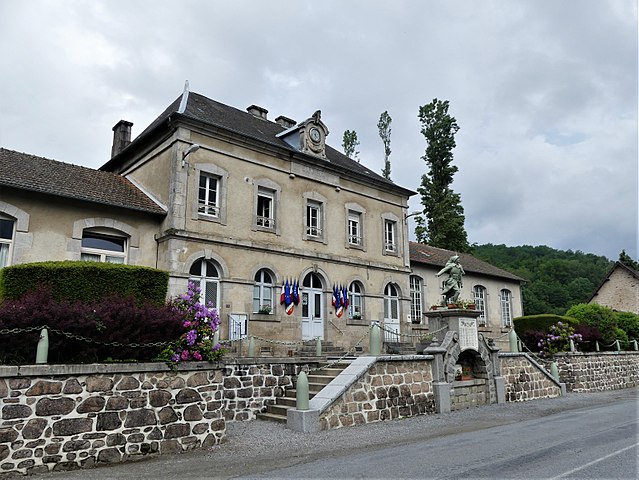
Poussanges (Poussanges)

- commune in Creuse, France
- Country:

- Postal Code: 23500
- Coordinates: 45° 49' 34" N, 2° 12' 56" E


- GPS tracks (wikiloc): [Link]
- Area: 23.35 sq km
- Population: 147
- Wikipedia en: wiki(en)
- Wikipedia: wiki(fr)
- Wikidata storage: Wikidata: Q1012442
- Wikipedia Commons Category: [Link]
- Freebase ID: [/m/03mfk5m]
- Freebase ID: [/m/03mfk5m]
- GeoNames ID: Alt: [6429246]
- GeoNames ID: Alt: [6429246]
- SIREN number: [212315808]
- SIREN number: [212315808]
- BnF ID: [15251545t]
- BnF ID: [15251545t]
- INSEE municipality code: 23158
- INSEE municipality code: 23158
Shares border with regions:


Saint-Quentin-la-Chabanne
- commune in Creuse, France
- Country:
- Postal Code: 23500
- Coordinates: 45° 51' 52" N, 2° 9' 19" E
- GPS tracks (wikiloc): [Link]
- Area: 29.59 sq km
- Population: 399


Saint-Frion
- commune in Creuse, France
- Country:
- Postal Code: 23500
- Coordinates: 45° 51' 50" N, 2° 13' 42" E
- GPS tracks (wikiloc): [Link]
- Area: 18.76 sq km
- Population: 260


Magnat-l'Étrange
- commune in Creuse, France
- Country:
- Postal Code: 23260
- Coordinates: 45° 47' 38" N, 2° 16' 42" E
- GPS tracks (wikiloc): [Link]
- Area: 25.87 sq km
- Population: 228


Clairavaux
- commune in Creuse, France
- Country:
- Postal Code: 23500
- Coordinates: 45° 46' 59" N, 2° 10' 1" E
- GPS tracks (wikiloc): [Link]
- Area: 27.55 sq km
- Population: 154


Saint-Georges-Nigremont
- commune in Creuse, France
- Country:
- Postal Code: 23500
- Coordinates: 45° 50' 13" N, 2° 15' 48" E
- GPS tracks (wikiloc): [Link]
- Area: 18.59 sq km
- Population: 126

Croze
- commune in Creuse, France
- Country:
- Postal Code: 23500
- Coordinates: 45° 49' 8" N, 2° 9' 39" E
- GPS tracks (wikiloc): [Link]
- Area: 22.16 sq km
- Population: 209