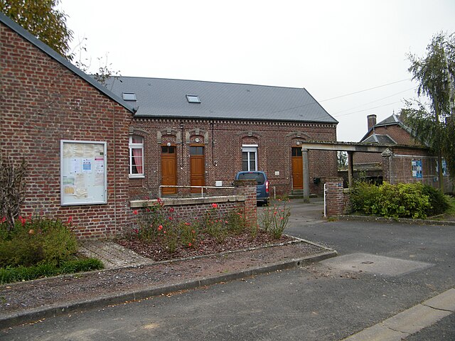
Punchy (Punchy)

- commune in Somme, France
- Country:

- Postal Code: 80320
- Coordinates: 49° 47' 31" N, 2° 48' 36" E


- GPS tracks (wikiloc): [Link]
- Area: 3.04 sq km
- Population: 85
- Wikipedia en: wiki(en)
- Wikipedia: wiki(fr)
- Wikidata storage: Wikidata: Q191500
- Wikipedia Commons Category: [Link]
- Freebase ID: [/m/03qmsq7]
- GeoNames ID: Alt: [6444686]
- SIREN number: [218006088]
- BnF ID: [15277121k]
- INSEE municipality code: 80646
Shares border with regions:


Fonches-Fonchette
- commune in Somme, France
- Country:
- Postal Code: 80700
- Coordinates: 49° 46' 32" N, 2° 49' 3" E
- GPS tracks (wikiloc): [Link]
- AboveSeaLevel: 84 м m
- Area: 5.02 sq km
- Population: 162

Puzeaux
- commune in Somme, France
- Country:
- Postal Code: 80320
- Coordinates: 49° 47' 53" N, 2° 49' 18" E
- GPS tracks (wikiloc): [Link]
- Area: 3.75 sq km
- Population: 290
- Web site: [Link]


Chaulnes
- commune in Somme, France
- Country:
- Postal Code: 80320
- Coordinates: 49° 48' 56" N, 2° 48' 15" E
- GPS tracks (wikiloc): [Link]
- Area: 8.46 sq km
- Population: 2006


Hallu
- commune in Somme, France
- Country:
- Postal Code: 80320
- Coordinates: 49° 47' 34" N, 2° 47' 20" E
- GPS tracks (wikiloc): [Link]
- Area: 3.85 sq km
- Population: 189