Ramonchamp (Ramonchamp)

- commune in Vosges, France
- Country:

- Postal Code: 88160
- Coordinates: 47° 53' 30" N, 6° 44' 23" E


- GPS tracks (wikiloc): [Link]
- Area: 15.74 sq km
- Population: 2026
- Web site: http://www.ramonchamp.fr
- Wikipedia en: wiki(en)
- Wikipedia: wiki(fr)
- Wikidata storage: Wikidata: Q199653
- Wikipedia Commons Category: [Link]
- Freebase ID: [/m/03qgx37]
- Freebase ID: [/m/03qgx37]
- GeoNames ID: Alt: [2984495]
- GeoNames ID: Alt: [2984495]
- SIREN number: [218803690]
- SIREN number: [218803690]
- BnF ID: [15279292v]
- BnF ID: [15279292v]
- INSEE municipality code: 88369
- INSEE municipality code: 88369
Shares border with regions:


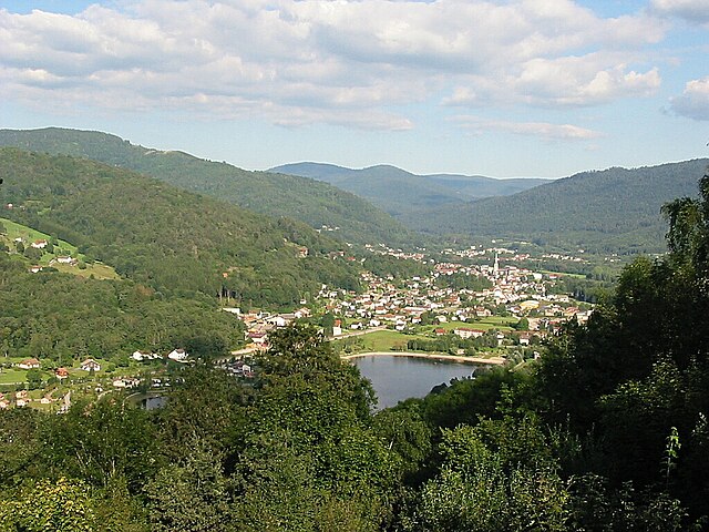
Le Thillot
- commune in Vosges, France
- Country:
- Postal Code: 88160
- Coordinates: 47° 52' 48" N, 6° 45' 54" E
- GPS tracks (wikiloc): [Link]
- AboveSeaLevel: 709 м m
- Area: 15.14 sq km
- Population: 3513
- Web site: [Link]

Saulxures-sur-Moselotte
- commune in Vosges, France
- Country:
- Postal Code: 88290
- Coordinates: 47° 56' 58" N, 6° 46' 9" E
- GPS tracks (wikiloc): [Link]
- Area: 31.87 sq km
- Population: 2691
- Web site: [Link]


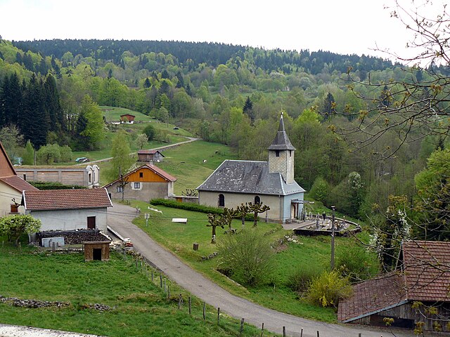
Beulotte-Saint-Laurent
- commune in Haute-Saône, France
- Country:
- Postal Code: 70310
- Coordinates: 47° 51' 38" N, 6° 40' 39" E
- GPS tracks (wikiloc): [Link]
- Area: 14.2 sq km
- Population: 63

Haut-du-Them-Château-Lambert
- commune in Haute-Saône, France
- Country:
- Postal Code: 70440
- Coordinates: 47° 50' 34" N, 6° 43' 21" E
- GPS tracks (wikiloc): [Link]
- AboveSeaLevel: 500 м m
- Area: 25.16 sq km
- Population: 438
- Web site: [Link]


Servance
- former commune in Haute-Saône, France
- Country:
- Postal Code: 70440
- Coordinates: 47° 48' 53" N, 6° 40' 56" E
- GPS tracks (wikiloc): [Link]
- Area: 39.24 sq km
- Population: 758


Le Ménil
- commune in Vosges, France
- Country:
- Postal Code: 88160
- Coordinates: 47° 54' 26" N, 6° 46' 58" E
- GPS tracks (wikiloc): [Link]
- Area: 20.38 sq km
- Population: 1077
- Web site: [Link]

Ferdrupt
- commune in Vosges, France
- Country:
- Postal Code: 88360
- Coordinates: 47° 54' 27" N, 6° 42' 33" E
- GPS tracks (wikiloc): [Link]
- Area: 14.6 sq km
- Population: 719