Reboursin (Reboursin)

- commune in Indre, France
- Country:

- Postal Code: 36150
- Coordinates: 47° 6' 24" N, 1° 49' 16" E


- GPS tracks (wikiloc): [Link]
- Area: 12.72 sq km
- Population: 109
- Wikipedia en: wiki(en)
- Wikipedia: wiki(fr)
- Wikidata storage: Wikidata: Q1137205
- Wikipedia Commons Category: [Link]
- Freebase ID: [/m/03nv9r7]
- GeoNames ID: Alt: [6432955]
- SIREN number: [213601701]
- BnF ID: [15257474k]
- INSEE municipality code: 36170
Shares border with regions:
Meunet-sur-Vatan
- commune in Indre, France
- Country:
- Postal Code: 36150
- Coordinates: 47° 4' 46" N, 1° 51' 57" E
- GPS tracks (wikiloc): [Link]
- Area: 12.47 sq km
- Population: 189
Saint-Florentin
- commune in Indre, France
- Country:
- Postal Code: 36150
- Coordinates: 47° 4' 33" N, 1° 48' 16" E
- GPS tracks (wikiloc): [Link]
- Area: 15.95 sq km
- Population: 545
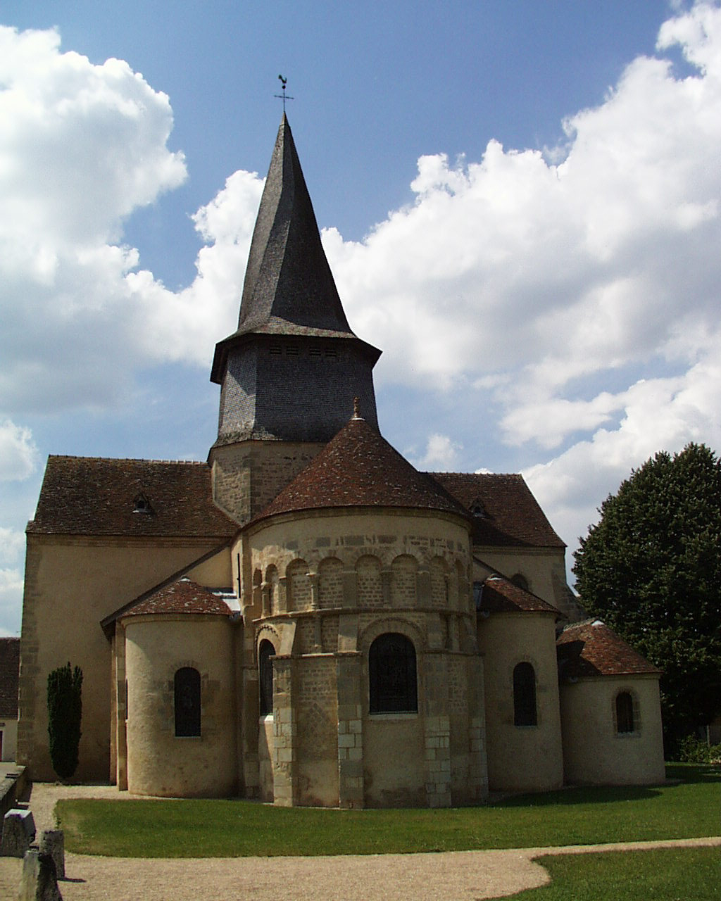
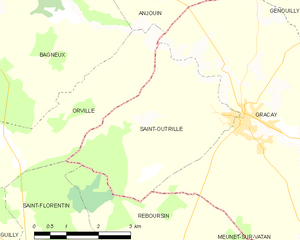
Saint-Outrille
- commune in Cher, France
- Country:
- Postal Code: 18310
- Coordinates: 47° 8' 38" N, 1° 50' 26" E
- GPS tracks (wikiloc): [Link]
- Area: 12.48 sq km
- Population: 211

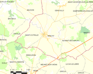
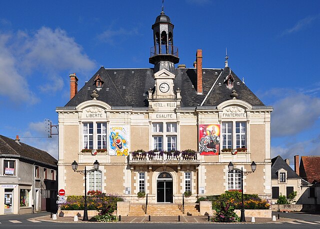
Graçay
- commune in Cher, France
- Country:
- Postal Code: 18310
- Coordinates: 47° 8' 34" N, 1° 50' 48" E
- GPS tracks (wikiloc): [Link]
- Area: 31.82 sq km
- Population: 1455
- Web site: [Link]
Vatan
- commune in Indre, France
- Country:
- Postal Code: 36150
- Coordinates: 47° 4' 24" N, 1° 48' 38" E
- GPS tracks (wikiloc): [Link]
- Area: 29.8 sq km
- Population: 2048
- Web site: [Link]