Rennes-sur-Loue (Rennes-sur-Loue)

- commune in Doubs, France
 Hiking in Rennes-sur-Loue
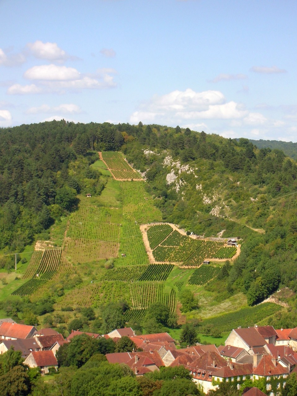
Rennes-sur-Loue is a picturesque village located in the Jura region of France, known for its stunning natural landscapes, hiking trails, and the scenic Loue River. Here are some key points to consider when hiking in and around Rennes-sur-Loue:
Scenic Trails
-
Diverse Terrain: The area offers a range of terrains, from rolling hills to forested paths along the banks of the Loue River, providing a variety of hiking experiences suited for different skill levels.
-
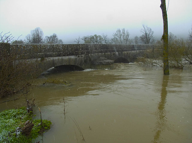
Loue Valley Trails: There are specific trails that follow the Loue River, which provide stunning views of the river and its surrounding geology, including limestone cliffs and lush ecosystems.
-
Loop Trails: Many of the hiking routes are loop trails, allowing you to explore the same area from different perspectives without retracing your steps.
Flora and Fauna
- The region is home to diverse plant and animal life. Keep an eye out for various species of birds, butterflies, and native flora. Spring and summer are particularly beautiful times for hiking here.
Historical Landmarks
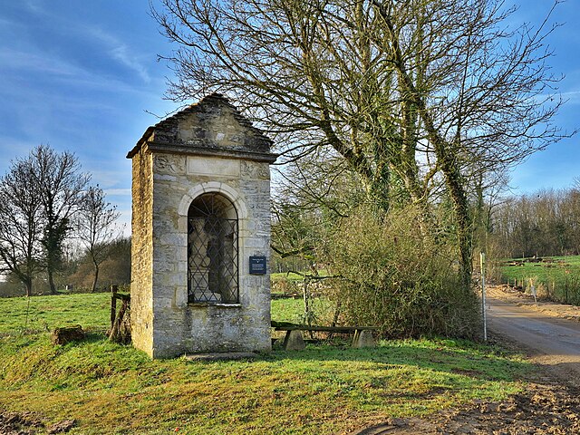
- As you hike, you may encounter various historical sites and traditional Jura architecture, which can add an interesting cultural aspect to your outdoor adventures.
Accessibility
- The trails are generally accessible for hikers of all levels, though some may feature steeper sections. Ensure you check trail conditions and difficulty levels before heading out.
Preparation
- Weather: The weather in the Jura can change quickly, so be prepared for rain or sudden temperature drops, especially in spring and autumn.
- Gear: Wear appropriate hiking shoes and dress in layers. Carry plenty of water and snacks, as well as a map or GPS device since some trails may be less marked.
Safety
- As always, it's advisable to hike with a buddy or inform someone of your plans, especially if you're venturing into less trafficked areas.
Local Tips
- Consider visiting local information centers for updates on trail conditions and recommendations on the best routes for the season you're hiking in.
- Don't forget to take some time to enjoy local cuisine and hospitality in the village after your hike!
Hiking in Rennes-sur-Loue can be a rewarding experience, blending nature, exercise, and the chance to explore the charming culture of the Jura. Enjoy your adventures!
- Country:

- Postal Code: 25440
- Coordinates: 47° 0' 44" N, 5° 51' 10" E


- GPS tracks (wikiloc): [Link]
- Area: 5.5 sq km
- Population: 95
- Wikipedia en: wiki(en)
- Wikipedia: wiki(fr)
- Wikidata storage: Wikidata: Q262578
- Wikipedia Commons Category: [Link]
- Freebase ID: [/m/03mhc9s]
- Freebase ID: [/m/03mhc9s]
- GeoNames ID: Alt: [6429957]
- GeoNames ID: Alt: [6429957]
- SIREN number: [212504880]
- SIREN number: [212504880]
- BnF ID: [15252714b]
- BnF ID: [15252714b]
- INSEE municipality code: 25488
- INSEE municipality code: 25488
Shares border with regions:

Port-Lesney
- commune in Jura, France
Hiking in Port-Lesney
Port-Lesney, located in the Doubs department in the Bourgogne-Franche-Comté region of France, offers beautiful landscapes that are ideal for hiking enthusiasts. The region features lush forests, rolling hills, and the scenic banks of the Doubs River, providing a diverse range of hiking trails suitable for various skill levels....
- Country:
- Postal Code: 39600
- Coordinates: 47° 0' 10" N, 5° 49' 26" E
- GPS tracks (wikiloc): [Link]
- Area: 10.91 sq km
- Population: 539


Grange-de-Vaivre
- commune in Jura, France
Hiking in Grange-de-Vaivre
Grange-de-Vaivre is a natural area located near the city of Besançon in France, known for its scenic landscapes, rich flora, and varied hiking trails. Here are some key points to consider when hiking in this area:...
- Country:
- Postal Code: 39600
- Coordinates: 47° 0' 10" N, 5° 50' 27" E
- GPS tracks (wikiloc): [Link]
- Area: 1.74 sq km
- Population: 39


La Chapelle-sur-Furieuse
- commune in Jura, France
Hiking in La Chapelle-sur-Furieuse
La Chapelle-sur-Furieuse is a picturesque village situated in the Doubs department of France, nestled in the Jura Mountains. It’s a great location for hiking enthusiasts looking to explore the beautiful natural landscapes of this region. Here’s what you can expect when hiking around La Chapelle-sur-Furieuse:...
- Country:
- Postal Code: 39110
- Coordinates: 46° 59' 52" N, 5° 51' 27" E
- GPS tracks (wikiloc): [Link]
- Area: 9.03 sq km
- Population: 322

Buffard
- commune in Doubs, France
Hiking in Buffard
It seems that there might be some confusion regarding "Buffard." If you're referring to a specific location, there might be a misspelling or mix-up with the name. There are many beautiful hiking destinations worldwide with similar-sounding names....
- Country:
- Postal Code: 25440
- Coordinates: 47° 2' 12" N, 5° 49' 29" E
- GPS tracks (wikiloc): [Link]
- Area: 8.1 sq km
- Population: 149

Chay
- commune in Doubs, France
Hiking in Chay
Chay, located in the Doubs department of France, is a scenic area that offers beautiful landscapes and a variety of hiking opportunities. The Doubs region is known for its stunning natural beauty, featuring rolling hills, forests, rivers, and lakes, making it an excellent destination for outdoor enthusiasts....
- Country:
- Postal Code: 25440
- Coordinates: 47° 2' 5" N, 5° 51' 39" E
- GPS tracks (wikiloc): [Link]
- Area: 6.54 sq km
- Population: 204


By
- commune in Doubs, France
Hiking in By
By, located in the Doubs department of France, is a charming destination for hiking enthusiasts. The region is known for its stunning natural landscapes, characterized by rolling hills, dense forests, and picturesque views of the surrounding countryside and rivers....
- Country:
- Postal Code: 25440
- Coordinates: 47° 0' 47" N, 5° 53' 22" E
- GPS tracks (wikiloc): [Link]
- Area: 7.34 sq km
- Population: 65