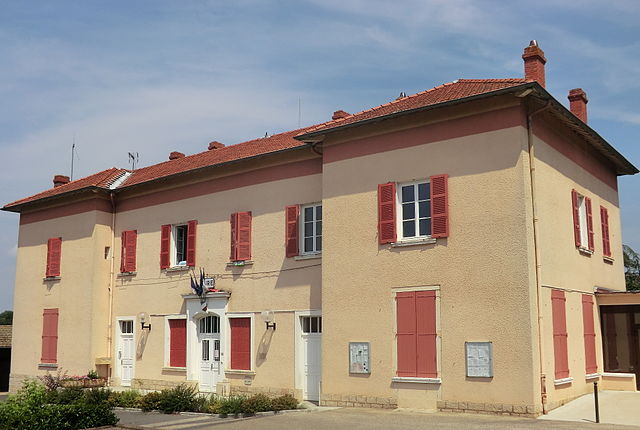
Reyrieux (Reyrieux)
- commune in Ain, France
- Country:

- Postal Code: 01600
- Coordinates: 45° 56' 4" N, 4° 49' 24" E


- GPS tracks (wikiloc): [Link]
- Area: 15.7 sq km
- Population: 4544
- Web site: http://www.reyrieux.fr
- Wikipedia en: wiki(en)
- Wikipedia: wiki(fr)
- Wikidata storage: Wikidata: Q840915
- Wikipedia Commons Category: [Link]
- Wikipedia Commons Maps Category: [Link]
- Freebase ID: [/m/081n82]
- Freebase ID: [/m/081n82]
- Freebase ID: [/m/081n82]
- GeoNames ID: Alt: [2983779]
- GeoNames ID: Alt: [2983779]
- GeoNames ID: Alt: [2983779]
- SIREN number: [210103222]
- SIREN number: [210103222]
- SIREN number: [210103222]
- BnF ID: [11969107z]
- BnF ID: [11969107z]
- BnF ID: [11969107z]
- VIAF ID: Alt: [247813112]
- VIAF ID: Alt: [247813112]
- VIAF ID: Alt: [247813112]
- PACTOLS thesaurus ID: [pcrtIzrwY8PSTN]
- PACTOLS thesaurus ID: [pcrtIzrwY8PSTN]
- PACTOLS thesaurus ID: [pcrtIzrwY8PSTN]
- INSEE municipality code: 01322
- INSEE municipality code: 01322
- INSEE municipality code: 01322
Shares border with regions:


Quincieux
- commune in the metropolis of Lyon, France
- Country:
- Postal Code: 69650
- Coordinates: 45° 54' 49" N, 4° 46' 37" E
- GPS tracks (wikiloc): [Link]
- Area: 17.72 sq km
- Population: 3456
- Web site: [Link]

Trévoux
- commune in Ain, France
- Country:
- Postal Code: 01600
- Coordinates: 45° 56' 27" N, 4° 46' 30" E
- GPS tracks (wikiloc): [Link]
- Area: 5.71 sq km
- Population: 6768
- Web site: [Link]

Civrieux
- commune in Ain, France
- Country:
- Postal Code: 01390
- Coordinates: 45° 55' 16" N, 4° 52' 51" E
- GPS tracks (wikiloc): [Link]
- Area: 19.76 sq km
- Population: 1546
- Web site: [Link]

Rancé
- commune in Ain, France
- Country:
- Postal Code: 01390
- Coordinates: 45° 57' 56" N, 4° 52' 8" E
- GPS tracks (wikiloc): [Link]
- Area: 9.53 sq km
- Population: 712
- Web site: [Link]

Misérieux
- commune in Ain, France
- Country:
- Postal Code: 01600
- Coordinates: 45° 58' 24" N, 4° 48' 39" E
- GPS tracks (wikiloc): [Link]
- Area: 7.41 sq km
- Population: 1908
- Web site: [Link]

Saint-Jean-de-Thurigneux
- commune in Ain, France
- Country:
- Postal Code: 01390
- Coordinates: 45° 57' 8" N, 4° 52' 56" E
- GPS tracks (wikiloc): [Link]
- Area: 16 sq km
- Population: 778
- Web site: [Link]

Toussieux
- commune in Ain, France
- Country:
- Postal Code: 01600
- Coordinates: 45° 57' 38" N, 4° 49' 43" E
- GPS tracks (wikiloc): [Link]
- Area: 4.74 sq km
- Population: 913
- Web site: [Link]
Saint-Didier-de-Formans
- commune in Ain, France
- Country:
- Postal Code: 01600
- Coordinates: 45° 57' 23" N, 4° 46' 49" E
- GPS tracks (wikiloc): [Link]
- Area: 6.53 sq km
- Population: 1889
- Web site: [Link]

Parcieux
- commune in Ain, France
- Country:
- Postal Code: 01600
- Coordinates: 45° 54' 56" N, 4° 49' 31" E
- GPS tracks (wikiloc): [Link]
- Area: 3.14 sq km
- Population: 1171
- Web site: [Link]

Sainte-Euphémie
- commune in Ain, France
- Country:
- Postal Code: 01600
- Coordinates: 45° 58' 22" N, 4° 47' 53" E
- GPS tracks (wikiloc): [Link]
- Area: 4.61 sq km
- Population: 1647
- Web site: [Link]