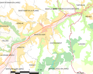
Rive-de-Gier (Rive-de-Gier)
- commune in Loire, France
- Country:

- Postal Code: 42800
- Coordinates: 45° 31' 46" N, 4° 37' 1" E


- GPS tracks (wikiloc): [Link]
- Area: 7.33 sq km
- Population: 15182
- Web site: http://www.rivedegier.fr
- Wikipedia en: wiki(en)
- Wikipedia: wiki(fr)
- Wikidata storage: Wikidata: Q659298
- Wikipedia Commons Category: [Link]
- Freebase ID: [/m/07f35g]
- Freebase ID: [/m/07f35g]
- GeoNames ID: Alt: [2983408]
- GeoNames ID: Alt: [2983408]
- SIREN number: [214201865]
- SIREN number: [214201865]
- BnF ID: [152597548]
- BnF ID: [152597548]
- VIAF ID: Alt: [143989876]
- VIAF ID: Alt: [143989876]
- archINFORM location ID: [6766]
- archINFORM location ID: [6766]
- Library of Congress authority ID: Alt: [n93074002]
- Library of Congress authority ID: Alt: [n93074002]
- WOEID: [619560]
- WOEID: [619560]
- SUDOC authorities ID: [030341205]
- SUDOC authorities ID: [030341205]
- INSEE municipality code: 42186
- INSEE municipality code: 42186
Shares border with regions:


Châteauneuf
- commune in Loire, France
- Country:

- Postal Code: 42800
- Coordinates: 45° 31' 19" N, 4° 37' 29" E


- GPS tracks (wikiloc): [Link]
- AboveSeaLevel: 230 м m
- Area: 13.65 sq km
- Population: 1559
- Web site: [Link]
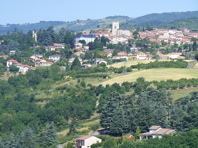
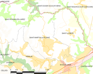
Saint-Martin-la-Plaine
- commune in Loire, France
- Country:

- Postal Code: 42800
- Coordinates: 45° 32' 45" N, 4° 35' 34" E


- GPS tracks (wikiloc): [Link]
- Area: 9.7 sq km
- Population: 3727
- Web site: [Link]

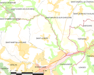
Saint-Joseph
- commune in Loire, France
- Country:

- Postal Code: 42800
- Coordinates: 45° 33' 25" N, 4° 37' 4" E


- GPS tracks (wikiloc): [Link]
- Area: 8.05 sq km
- Population: 1897


Farnay
- commune in Loire, France
- Country:

- Postal Code: 42320
- Coordinates: 45° 29' 37" N, 4° 35' 52" E


- GPS tracks (wikiloc): [Link]
- Area: 7.93 sq km
- Population: 1402

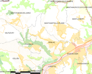
Genilac
- commune in Loire, France
- Country:

- Postal Code: 42800
- Coordinates: 45° 31' 56" N, 4° 34' 54" E


- GPS tracks (wikiloc): [Link]
- AboveSeaLevel: 413 м m
- Area: 8.67 sq km
- Population: 3888

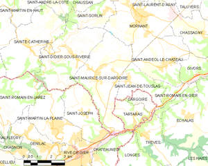
Saint-Maurice-sur-Dargoire
- former commune in Rhône, France
- Country:

- Postal Code: 42800
- Coordinates: 45° 34' 56" N, 4° 37' 52" E


- GPS tracks (wikiloc): [Link]
- Area: 16.27 sq km
- Population: 2319
- Web site: [Link]


Lorette
- commune in Loire, France
- Country:

- Postal Code: 42420
- Coordinates: 45° 30' 43" N, 4° 34' 52" E


- GPS tracks (wikiloc): [Link]
- Area: 3.41 sq km
- Population: 4724
