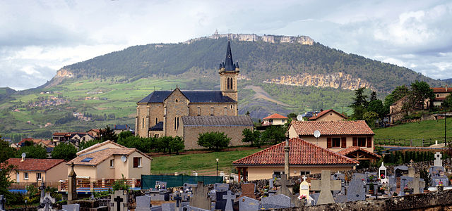
Rivière-sur-Tarn (Rivière-sur-Tarn)

- commune in Aveyron, France
- Country:

- Postal Code: 12640
- Coordinates: 44° 11' 18" N, 3° 7' 51" E


- GPS tracks (wikiloc): [Link]
- Area: 26.08 sq km
- Population: 1056
- Wikipedia en: wiki(en)
- Wikipedia: wiki(fr)
- Wikidata storage: Wikidata: Q1366442
- Wikipedia Commons Category: [Link]
- Freebase ID: [/m/03m954c]
- GeoNames ID: Alt: [6427002]
- SIREN number: [211202007]
- BnF ID: [152471767]
- PACTOLS thesaurus ID: [pcrtSwqPNWSYVA]
- WOEID: [619580]
- INSEE municipality code: 12200
Shares border with regions:


Compeyre
- commune in Aveyron, France
- Country:
- Postal Code: 12520
- Coordinates: 44° 9' 40" N, 3° 6' 6" E
- GPS tracks (wikiloc): [Link]
- Area: 10.36 sq km
- Population: 533

La Cresse
- commune in Aveyron, France
- Country:
- Postal Code: 12640
- Coordinates: 44° 10' 39" N, 3° 7' 47" E
- GPS tracks (wikiloc): [Link]
- Area: 19.06 sq km
- Population: 319


Mostuéjouls
- commune in Aveyron, France
- Country:
- Postal Code: 12720
- Coordinates: 44° 12' 10" N, 3° 11' 1" E
- GPS tracks (wikiloc): [Link]
- Area: 30.95 sq km
- Population: 313


Verrières
- commune in Aveyron, France
- Country:
- Postal Code: 12520
- Coordinates: 44° 12' 5" N, 3° 3' 29" E
- GPS tracks (wikiloc): [Link]
- AboveSeaLevel: 480 м m
- Area: 53.01 sq km
- Population: 450
- Web site: [Link]


Sévérac-le-Château
- former commune in Aveyron, France
- Country:
- Postal Code: 12150
- Coordinates: 44° 19' 18" N, 3° 4' 17" E
- GPS tracks (wikiloc): [Link]
- Area: 108.42 sq km
- Population: 2435
- Web site: [Link]