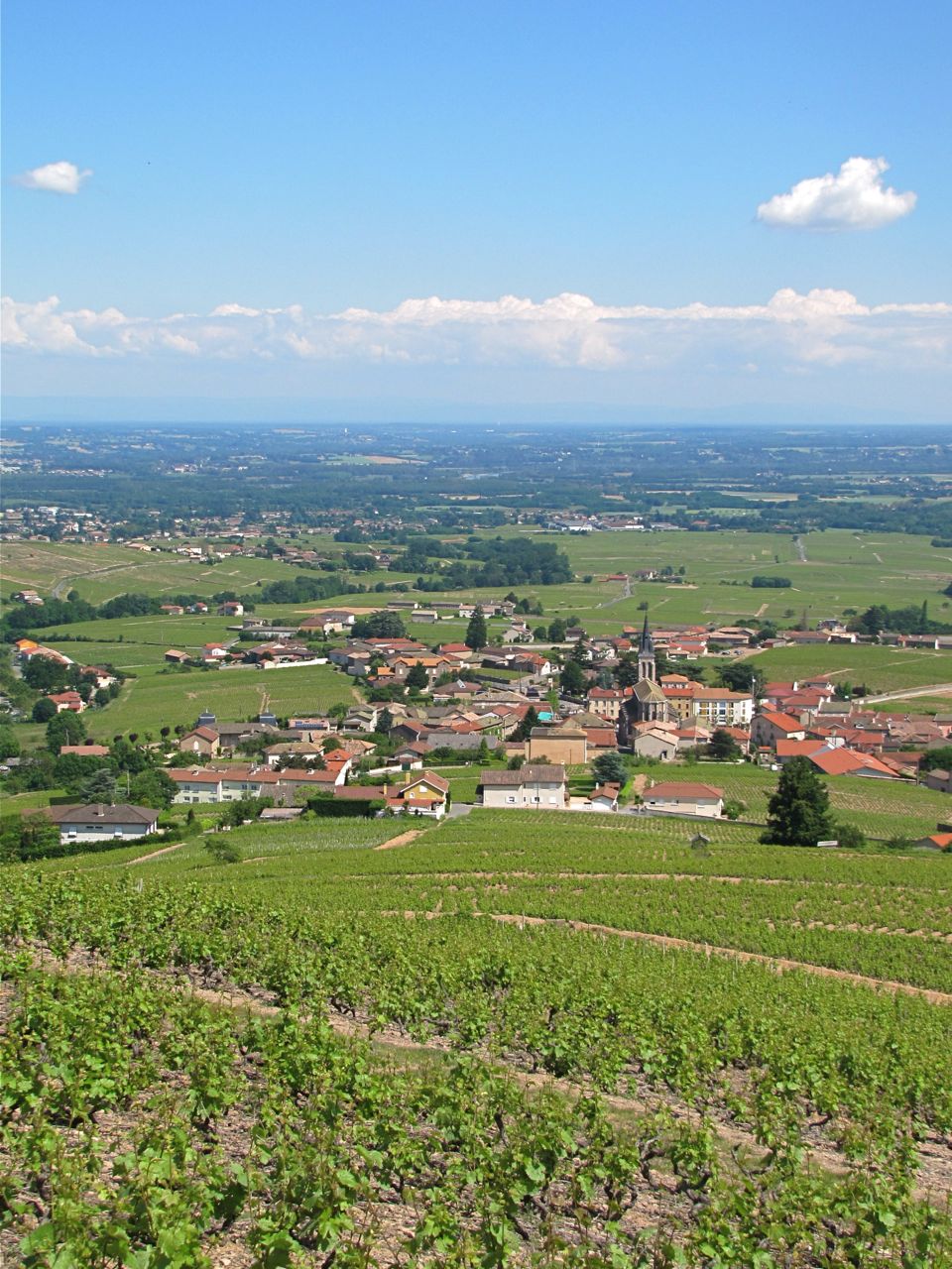
Romanèche-Thorins (Romanèche-Thorins)

- commune in Saône-et-Loire, France
- Country:

- Postal Code: 71570
- Coordinates: 46° 11' 23" N, 4° 44' 10" E


- GPS tracks (wikiloc): [Link]
- Area: 9.76 sq km
- Population: 1979
- Web site: http://www.romaneche-thorins.fr
- Wikipedia en: wiki(en)
- Wikipedia: wiki(fr)
- Wikidata storage: Wikidata: Q947091
- Wikipedia Commons Category: [Link]
- Wikipedia Commons Maps Category: [Link]
- Freebase ID: [/m/03qglxb]
- Freebase ID: [/m/03qglxb]
- GeoNames ID: Alt: [6442377]
- GeoNames ID: Alt: [6442377]
- SIREN number: [217103720]
- SIREN number: [217103720]
- BnF ID: [15273343g]
- BnF ID: [15273343g]
- VIAF ID: Alt: [187310823]
- VIAF ID: Alt: [187310823]
- Library of Congress authority ID: Alt: [no2011166475]
- Library of Congress authority ID: Alt: [no2011166475]
- PACTOLS thesaurus ID: [pcrtNKOiidL0nO]
- PACTOLS thesaurus ID: [pcrtNKOiidL0nO]
- WOEID: [22756714]
- WOEID: [22756714]
- INSEE municipality code: 71372
- INSEE municipality code: 71372
Shares border with regions:


La Chapelle-de-Guinchay
- commune in Saône-et-Loire, France
- Country:
- Postal Code: 71570
- Coordinates: 46° 12' 38" N, 4° 45' 17" E
- GPS tracks (wikiloc): [Link]
- Area: 12.44 sq km
- Population: 4052
- Web site: [Link]


Dracé
- commune in Rhône, France
- Country:
- Postal Code: 69220
- Coordinates: 46° 9' 24" N, 4° 45' 56" E
- GPS tracks (wikiloc): [Link]
- Area: 14.87 sq km
- Population: 968
- Web site: [Link]

Fleurie
- commune in Rhône, France
- Country:
- Postal Code: 69820
- Coordinates: 46° 11' 32" N, 4° 41' 51" E
- GPS tracks (wikiloc): [Link]
- Area: 13.94 sq km
- Population: 1248
- Web site: [Link]


Saint-Symphorien-d'Ancelles
- commune in Saône-et-Loire, France
- Country:
- Postal Code: 71570
- Coordinates: 46° 11' 53" N, 4° 46' 12" E
- GPS tracks (wikiloc): [Link]
- Area: 6.13 sq km
- Population: 1177
- Web site: [Link]

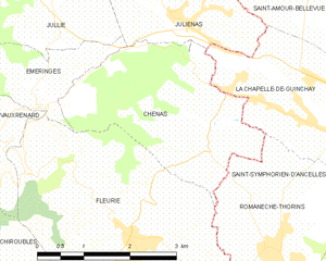
Chénas
- commune in Rhône, France
- Country:
- Postal Code: 69840
- Coordinates: 46° 12' 44" N, 4° 43' 10" E
- GPS tracks (wikiloc): [Link]
- Area: 8.18 sq km
- Population: 549


Lancié
- commune in Rhône, France
- Country:
- Postal Code: 69220
- Coordinates: 46° 10' 15" N, 4° 42' 51" E
- GPS tracks (wikiloc): [Link]
- Area: 6.6 sq km
- Population: 1018
- Web site: [Link]