Romestaing (Romestaing)

- commune in Lot-et-Garonne, France
- Country:

- Postal Code: 47250
- Coordinates: 44° 25' 1" N, 0° 0' 11" E


- GPS tracks (wikiloc): [Link]
- AboveSeaLevel: 187 м m
- Area: 15.46 sq km
- Population: 168
- Web site: http://www.fontainebleau.fr/
- Wikipedia en: wiki(en)
- Wikipedia: wiki(fr)
- Wikidata storage: Wikidata: Q1108117
- Wikipedia Commons Category: [Link]
- Freebase ID: [/m/03qm2kt]
- GeoNames ID: Alt: [6435045]
- SIREN number: [214702243]
- BnF ID: [152613057]
- INSEE municipality code: 47224
Shares border with regions:


Guérin
- commune in Lot-et-Garonne, France
- Country:
- Postal Code: 47250
- Coordinates: 44° 24' 36" N, 0° 4' 8" E
- GPS tracks (wikiloc): [Link]
- Area: 10.43 sq km
- Population: 252

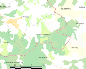
Cours-les-Bains
- commune in Gironde, France
- Country:
- Postal Code: 33690
- Coordinates: 44° 22' 50" N, 0° 1' 7" E
- GPS tracks (wikiloc): [Link]
- Area: 10.43 sq km
- Population: 215
- Web site: [Link]

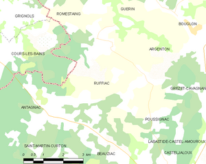
Ruffiac
- commune in Lot-et-Garonne, France
- Country:
- Postal Code: 47700
- Coordinates: 44° 21' 43" N, 0° 2' 0" E
- GPS tracks (wikiloc): [Link]
- AboveSeaLevel: 54 м m
- Area: 12.84 sq km
- Population: 162


Cocumont
- commune in Lot-et-Garonne, France
- Country:
- Postal Code: 47250
- Coordinates: 44° 26' 55" N, 0° 1' 34" E
- GPS tracks (wikiloc): [Link]
- Area: 25.44 sq km
- Population: 1110
- Web site: [Link]

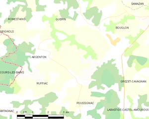
Argenton
- commune in Lot-et-Garonne, France
- Country:
- Postal Code: 47250
- Coordinates: 44° 23' 6" N, 0° 5' 38" E
- GPS tracks (wikiloc): [Link]
- Area: 12.14 sq km
- Population: 314


Grignols
- commune in Gironde, France
- Country:
- Postal Code: 33690
- Coordinates: 44° 23' 16" N, 0° 2' 38" E
- GPS tracks (wikiloc): [Link]
- Area: 22.7 sq km
- Population: 1173
- Web site: [Link]