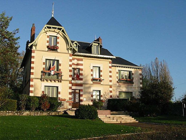
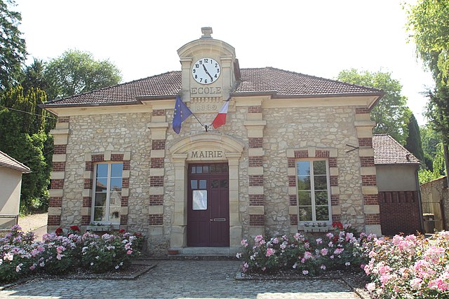
Rosay (Rosay)

- commune in Yvelines, France
- Country:

- Postal Code: 78790
- Coordinates: 48° 55' 1" N, 1° 40' 39" E


- GPS tracks (wikiloc): [Link]
- Area: 4.54 sq km
- Population: 360
- Wikipedia en: wiki(en)
- Wikipedia: wiki(fr)
- Wikidata storage: Wikidata: Q1464576
- Wikipedia Commons Category: [Link]
- Freebase ID: [/m/03qg3cb]
- Freebase ID: [/m/03qg3cb]
- GeoNames ID: Alt: [6444062]
- GeoNames ID: Alt: [6444062]
- SIREN number: [217805308]
- SIREN number: [217805308]
- BnF ID: [152760828]
- BnF ID: [152760828]
- INSEE municipality code: 78530
- INSEE municipality code: 78530
Shares border with regions:

Arnouville-lès-Mantes
- commune in Yvelines, France
- Country:
- Postal Code: 78790
- Coordinates: 48° 54' 37" N, 1° 43' 48" E
- GPS tracks (wikiloc): [Link]
- Area: 9.98 sq km
- Population: 921

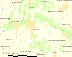
Septeuil
- commune in Yvelines, France
- Country:
- Postal Code: 78790
- Coordinates: 48° 53' 33" N, 1° 40' 53" E
- GPS tracks (wikiloc): [Link]
- Area: 9.4 sq km
- Population: 2341


Boinvilliers
- commune in Yvelines, France
- Country:
- Postal Code: 78200
- Coordinates: 48° 55' 4" N, 1° 39' 38" E
- GPS tracks (wikiloc): [Link]
- Area: 3.59 sq km
- Population: 294

Villette
- commune in Yvelines, France
- Country:
- Postal Code: 78930
- Coordinates: 48° 55' 38" N, 1° 41' 31" E
- GPS tracks (wikiloc): [Link]
- Area: 4.63 sq km
- Population: 531
- Web site: [Link]