Roubia (Roubia)

- commune in Aude, France
- Country:

- Postal Code: 11200
- Coordinates: 43° 14' 51" N, 2° 48' 0" E


- GPS tracks (wikiloc): [Link]
- Area: 7.38 sq km
- Population: 511
- Wikipedia en: wiki(en)
- Wikipedia: wiki(fr)
- Wikidata storage: Wikidata: Q173297
- Wikipedia Commons Category: [Link]
- Freebase ID: [/m/03m8_v9]
- GeoNames ID: Alt: [6426828]
- SIREN number: [211103247]
- BnF ID: [15246860j]
- INSEE municipality code: 11324
Shares border with regions:
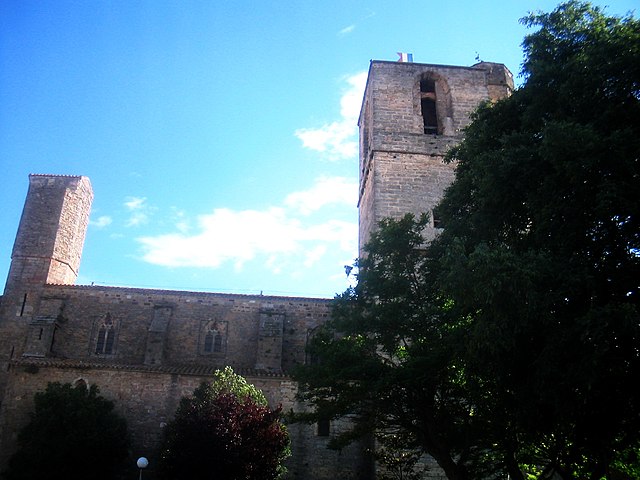
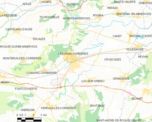
Lézignan-Corbières
- commune in Aude, France
- Country:
- Postal Code: 11200
- Coordinates: 43° 12' 2" N, 2° 45' 28" E
- GPS tracks (wikiloc): [Link]
- Area: 37.68 sq km
- Population: 11285
- Web site: [Link]


Paraza
- commune in Aude, France
- Country:
- Postal Code: 11200
- Coordinates: 43° 14' 59" N, 2° 49' 55" E
- GPS tracks (wikiloc): [Link]
- Area: 9.47 sq km
- Population: 618


Argens-Minervois
- commune in Aude, France
- Country:
- Postal Code: 11200
- Coordinates: 43° 14' 32" N, 2° 45' 56" E
- GPS tracks (wikiloc): [Link]
- AboveSeaLevel: 39 м m
- Area: 4.59 sq km
- Population: 352


Canet
- commune in Aude, France
- Country:
- Postal Code: 11200
- Coordinates: 43° 13' 43" N, 2° 50' 50" E
- GPS tracks (wikiloc): [Link]
- AboveSeaLevel: 30 м m
- Area: 14.04 sq km
- Population: 1709
- Web site: [Link]


Olonzac
- commune in Hérault, France
- Country:
- Postal Code: 34210
- Coordinates: 43° 17' 2" N, 2° 43' 51" E
- GPS tracks (wikiloc): [Link]
- Area: 18.95 sq km
- Population: 1797
- Web site: [Link]