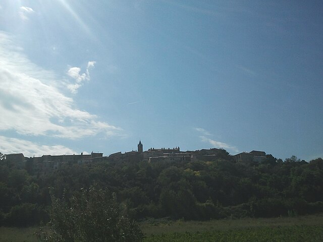
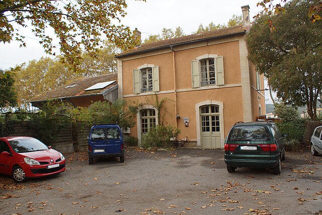
Rouffiac-d'Aude (Rouffiac-d'Aude)

- commune in Aude, France
- Country:

- Postal Code: 11250
- Coordinates: 43° 7' 42" N, 2° 17' 56" E


- GPS tracks (wikiloc): [Link]
- Area: 5.24 sq km
- Population: 441
- Wikipedia en: wiki(en)
- Wikipedia: wiki(fr)
- Wikidata storage: Wikidata: Q1083178
- Wikipedia Commons Category: [Link]
- Freebase ID: [/m/03m8_vn]
- SIREN number: [211103254]
- BnF ID: [15246861w]
- PACTOLS thesaurus ID: [pcrt2DBsaK0GZV]
- INSEE municipality code: 11325
Shares border with regions:

Preixan
- commune in Aude, France
- Country:
- Postal Code: 11250
- Coordinates: 43° 8' 46" N, 2° 17' 20" E
- GPS tracks (wikiloc): [Link]
- Area: 8.56 sq km
- Population: 610
- Web site: [Link]
Montclar
- commune in Aude, France
- Country:
- Postal Code: 11250
- Coordinates: 43° 8' 6" N, 2° 14' 54" E
- GPS tracks (wikiloc): [Link]
- Area: 11.31 sq km
- Population: 167
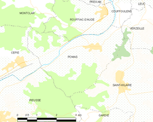
Pomas
- commune in Aude, France
- Country:
- Postal Code: 11250
- Coordinates: 43° 6' 42" N, 2° 17' 32" E
- GPS tracks (wikiloc): [Link]
- Area: 10.15 sq km
- Population: 875
- Web site: [Link]


Couffoulens
- commune in Aude, France
- Country:
- Postal Code: 11250
- Coordinates: 43° 9' 19" N, 2° 18' 23" E
- GPS tracks (wikiloc): [Link]
- Area: 9.47 sq km
- Population: 611
- Web site: [Link]