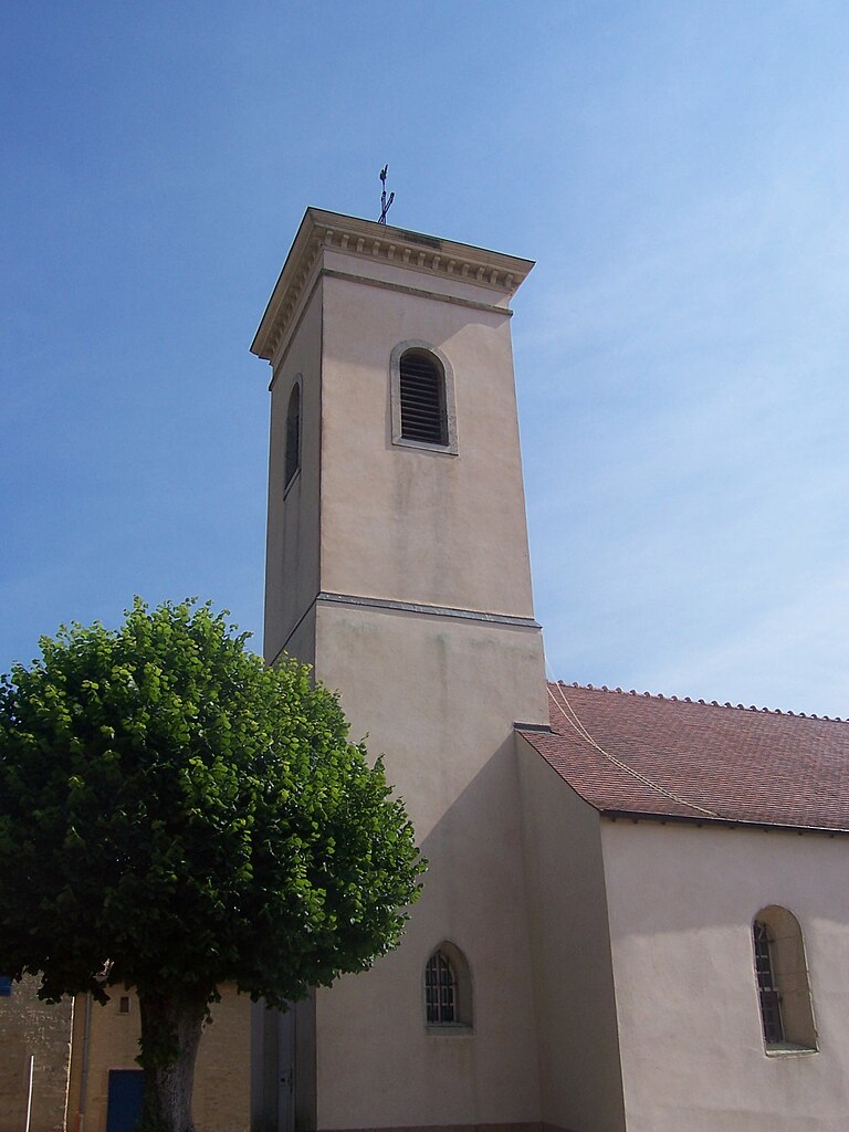
Royer (Royer)

- commune in Saône-et-Loire, France
- Country:

- Postal Code: 71700
- Coordinates: 46° 33' 21" N, 4° 49' 28" E


- GPS tracks (wikiloc): [Link]
- Area: 5.89 sq km
- Population: 131
- Wikipedia en: wiki(en)
- Wikipedia: wiki(fr)
- Wikidata storage: Wikidata: Q1626392
- Wikipedia Commons Category: [Link]
- Wikipedia Commons Maps Category: [Link]
- Freebase ID: [/m/03qgl_f]
- Freebase ID: [/m/03qgl_f]
- SIREN number: [217103779]
- SIREN number: [217103779]
- BnF ID: [152733486]
- BnF ID: [152733486]
- INSEE municipality code: 71377
- INSEE municipality code: 71377
Shares border with regions:


La Chapelle-sous-Brancion
- commune in Saône-et-Loire, France
- Country:
- Postal Code: 71700
- Coordinates: 46° 33' 43" N, 4° 47' 52" E
- GPS tracks (wikiloc): [Link]
- Area: 9.94 sq km
- Population: 126

Mancey
- commune in Saône-et-Loire, France
- Country:
- Postal Code: 71240
- Coordinates: 46° 34' 28" N, 4° 50' 43" E
- GPS tracks (wikiloc): [Link]
- Area: 10.02 sq km
- Population: 385
- Web site: [Link]


Martailly-lès-Brancion
- commune in Saône-et-Loire, France
- Country:
- Postal Code: 71700
- Coordinates: 46° 31' 55" N, 4° 48' 8" E
- GPS tracks (wikiloc): [Link]
- Area: 8.85 sq km
- Population: 135


Ozenay
- commune in Saône-et-Loire, France
- Country:
- Postal Code: 71700
- Coordinates: 46° 32' 31" N, 4° 50' 29" E
- GPS tracks (wikiloc): [Link]
- Area: 13.31 sq km
- Population: 231