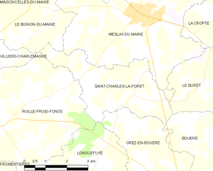
Ruillé-Froid-Fonds (Ruillé-Froid-Fonds)

- commune in Mayenne, France
- Country:

- Postal Code: 53170
- Coordinates: 47° 54' 2" N, 0° 38' 32" E


- GPS tracks (wikiloc): [Link]
- Area: 23.56 sq km
- Population: 555
- Wikipedia en: wiki(en)
- Wikipedia: wiki(fr)
- Wikidata storage: Wikidata: Q1101689
- Wikipedia Commons Category: [Link]
- Freebase ID: [/m/03np_p1]
- Freebase ID: [/m/03np_p1]
- GeoNames ID: Alt: [6436455]
- GeoNames ID: Alt: [6436455]
- SIREN number: [215301938]
- SIREN number: [215301938]
- BnF ID: [152639866]
- BnF ID: [152639866]
- INSEE municipality code: 53193
- INSEE municipality code: 53193
Shares border with regions:


Le Bignon-du-Maine
- commune in Mayenne, France
- Country:
- Postal Code: 53170
- Coordinates: 47° 57' 2" N, 0° 36' 36" E
- GPS tracks (wikiloc): [Link]
- Area: 14.29 sq km
- Population: 339


Villiers-Charlemagne
- commune in Mayenne, France
- Country:
- Postal Code: 53170
- Coordinates: 47° 55' 20" N, 0° 40' 35" E
- GPS tracks (wikiloc): [Link]
- Area: 27.57 sq km
- Population: 1114
- Web site: [Link]


Fromentières
- commune in Mayenne, France
- Country:
- Postal Code: 53200
- Coordinates: 47° 51' 52" N, 0° 39' 55" E
- GPS tracks (wikiloc): [Link]
- Area: 22.06 sq km
- Population: 831

Saint-Charles-la-Forêt
- commune in Mayenne, France
- Country:
- Postal Code: 53170
- Coordinates: 47° 54' 59" N, 0° 33' 20" E
- GPS tracks (wikiloc): [Link]
- Area: 10.61 sq km
- Population: 215

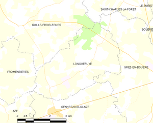
Longuefuye
- commune in Mayenne, France
- Country:
- Postal Code: 53200
- Coordinates: 47° 52' 0" N, 0° 36' 51" E
- GPS tracks (wikiloc): [Link]
- Area: 14.32 sq km
- Population: 337