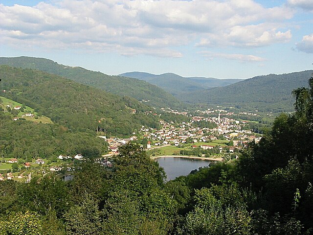
Rupt-sur-Moselle (Rupt-sur-Moselle)
- commune in Vosges, France
- Country:

- Postal Code: 88360
- Coordinates: 47° 55' 36" N, 6° 39' 46" E


- GPS tracks (wikiloc): [Link]
- Area: 45.55 sq km
- Population: 3456
- Web site: http://www.ruptsurmoselle.fr
- Wikipedia en: wiki(en)
- Wikipedia: wiki(fr)
- Wikidata storage: Wikidata: Q190567
- Wikipedia Commons Category: [Link]
- Freebase ID: [/m/03qgyqg]
- Freebase ID: [/m/03qgyqg]
- GeoNames ID: Alt: [2982130]
- GeoNames ID: Alt: [2982130]
- SIREN number: [218804086]
- SIREN number: [218804086]
- BnF ID: [15279329c]
- BnF ID: [15279329c]
- VIAF ID: Alt: [159483005]
- VIAF ID: Alt: [159483005]
- SUDOC authorities ID: [050396404]
- SUDOC authorities ID: [050396404]
- INSEE municipality code: 88408
- INSEE municipality code: 88408
Shares border with regions:


Saulxures-sur-Moselotte
- commune in Vosges, France
- Country:

- Postal Code: 88290
- Coordinates: 47° 56' 58" N, 6° 46' 9" E


- GPS tracks (wikiloc): [Link]
- Area: 31.87 sq km
- Population: 2691
- Web site: [Link]


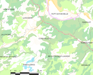
Corravillers
- commune in Haute-Saône, France
- Country:

- Postal Code: 70310
- Coordinates: 47° 53' 35" N, 6° 37' 21" E


- GPS tracks (wikiloc): [Link]
- AboveSeaLevel: 425 м m
- Area: 11.2 sq km
- Population: 190
- Web site: [Link]


Dommartin-lès-Remiremont
- commune in Vosges, France
- Country:

- Postal Code: 88200
- Coordinates: 47° 59' 55" N, 6° 38' 35" E


- GPS tracks (wikiloc): [Link]
- Area: 21.08 sq km
- Population: 1892
- Web site: [Link]


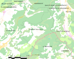
Girmont-Val-d'Ajol
- commune in Vosges, France
- Country:

- Postal Code: 88340
- Coordinates: 47° 57' 14" N, 6° 33' 41" E


- GPS tracks (wikiloc): [Link]
- Area: 16.67 sq km
- Population: 240


Vecoux
- commune in Vosges, France
- Country:

- Postal Code: 88200
- Coordinates: 47° 58' 44" N, 6° 38' 9" E


- GPS tracks (wikiloc): [Link]
- Area: 13.6 sq km
- Population: 878
- Web site: [Link]


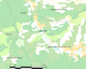
Thiéfosse
- commune in Vosges, France
- Country:

- Postal Code: 88290
- Coordinates: 47° 58' 17" N, 6° 43' 48" E


- GPS tracks (wikiloc): [Link]
- Area: 7.62 sq km
- Population: 618


La Montagne
- commune in Haute-Saône, France
- Country:

- Postal Code: 70310
- Coordinates: 47° 55' 15" N, 6° 35' 30" E


- GPS tracks (wikiloc): [Link]
- Area: 12.61 sq km
- Population: 39


Ferdrupt
- commune in Vosges, France
- Country:

- Postal Code: 88360
- Coordinates: 47° 54' 27" N, 6° 42' 33" E


- GPS tracks (wikiloc): [Link]
- Area: 14.6 sq km
- Population: 719


La Rosière
- commune in Haute-Saône, France
- Country:

- Postal Code: 70310
- Coordinates: 47° 54' 27" N, 6° 37' 30" E


- GPS tracks (wikiloc): [Link]
- Area: 9 sq km
- Population: 80
