Ségus (Ségus)

- commune in Hautes-Pyrénées, France
- Country:

- Postal Code: 65100
- Coordinates: 43° 4' 11" N, 0° 4' 36" E


- GPS tracks (wikiloc): [Link]
- Area: 10.72 sq km
- Population: 256
- Wikipedia en: wiki(en)
- Wikipedia: wiki(fr)
- Wikidata storage: Wikidata: Q1323816
- Wikipedia Commons Category: [Link]
- Freebase ID: [/m/03nv73v]
- Freebase ID: [/m/03nv73v]
- GeoNames ID: Alt: [6440914]
- GeoNames ID: Alt: [6440914]
- SIREN number: [216504159]
- SIREN number: [216504159]
- BnF ID: [152708465]
- BnF ID: [152708465]
- PACTOLS thesaurus ID: [pcrtidsGLrK1SE]
- PACTOLS thesaurus ID: [pcrtidsGLrK1SE]
- INSEE municipality code: 65415
- INSEE municipality code: 65415
Shares border with regions:


Saint-Pé-de-Bigorre
- commune in Hautes-Pyrénées, France
- Country:
- Postal Code: 65270
- Coordinates: 43° 6' 7" N, 0° 9' 33" E
- GPS tracks (wikiloc): [Link]
- Area: 43.44 sq km
- Population: 1163


Ouzous
- commune in Hautes-Pyrénées, France
- Country:
- Postal Code: 65400
- Coordinates: 43° 1' 47" N, 0° 6' 25" E
- GPS tracks (wikiloc): [Link]
- Area: 4.76 sq km
- Population: 202


Ossen
- commune in Hautes-Pyrénées, France
- Country:
- Postal Code: 65100
- Coordinates: 43° 4' 14" N, 0° 4' 0" E
- GPS tracks (wikiloc): [Link]
- Area: 6.91 sq km
- Population: 217


Omex
- commune in Hautes-Pyrénées, France
- Country:
- Postal Code: 65100
- Coordinates: 43° 4' 32" N, 0° 4' 49" E
- GPS tracks (wikiloc): [Link]
- Area: 5.53 sq km
- Population: 234
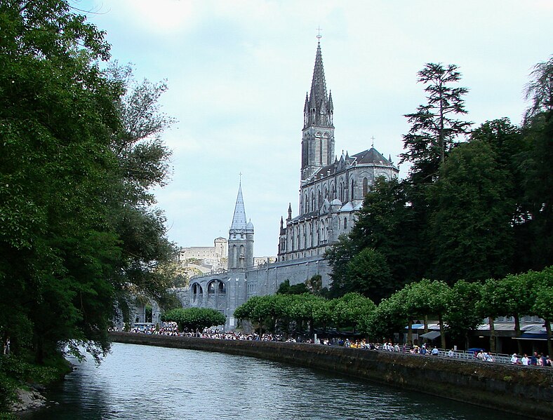

Lourdes
- commune in Hautes-Pyrénées, France
- Country:
- Postal Code: 65100
- Coordinates: 43° 5' 42" N, 0° 2' 43" E
- GPS tracks (wikiloc): [Link]
- AboveSeaLevel: 420 м m
- Area: 36.94 sq km
- Population: 13946
- Web site: [Link]


Salles
- commune in Hautes-Pyrénées, France
- Country:
- Postal Code: 65400
- Coordinates: 43° 1' 41" N, 0° 7' 13" E
- GPS tracks (wikiloc): [Link]
- AboveSeaLevel: 700 м m
- Area: 27.48 sq km
- Population: 220