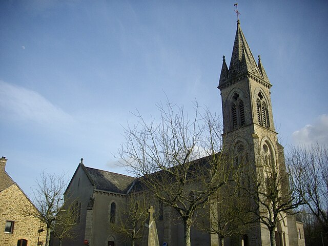
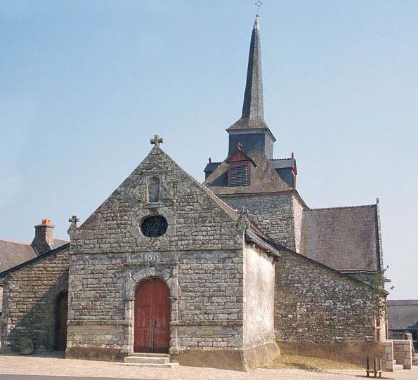
Sérent (Sérent)

- commune in Morbihan, France
- Country:

- Postal Code: 56460
- Coordinates: 47° 49' 23" N, 2° 30' 21" E


- GPS tracks (wikiloc): [Link]
- Area: 59.67 sq km
- Population: 3053
- Web site: http://www.serent.fr
- Wikipedia en: wiki(en)
- Wikipedia: wiki(fr)
- Wikidata storage: Wikidata: Q128287
- Wikipedia Commons Category: [Link]
- Freebase ID: [/m/03cbp0l]
- GeoNames ID: Alt: [2974949]
- SIREN number: [215602442]
- BnF ID: [15265493k]
- PACTOLS thesaurus ID: [pcrtpF6x57u5Sr]
- MusicBrainz area ID: [832bdeaf-c6ab-44c5-a95c-087a46705324]
- INSEE municipality code: 56244
Shares border with regions:

Trédion
- commune in Morbihan, France
- Country:
- Postal Code: 56250
- Coordinates: 47° 47' 33" N, 2° 35' 36" E
- GPS tracks (wikiloc): [Link]
- Area: 25.76 sq km
- Population: 1231


Saint-Marcel
- commune in Morbihan, France
- Country:
- Postal Code: 56140
- Coordinates: 47° 48' 15" N, 2° 25' 8" E
- GPS tracks (wikiloc): [Link]
- Area: 12.81 sq km
- Population: 1060


La Chapelle-Caro
- former commune in Morbihan, France
- Country:
- Postal Code: 56460
- Coordinates: 47° 51' 55" N, 2° 25' 23" E
- GPS tracks (wikiloc): [Link]
- Area: 16.49 sq km
- Population: 1380
- Web site: [Link]


Saint-Abraham
- commune in Morbihan, France
- Country:
- Postal Code: 56140
- Coordinates: 47° 51' 21" N, 2° 24' 35" E
- GPS tracks (wikiloc): [Link]
- Area: 6.72 sq km
- Population: 546
- Web site: [Link]


Saint-Guyomard
- commune in Morbihan, France
- Country:
- Postal Code: 56460
- Coordinates: 47° 46' 51" N, 2° 30' 49" E
- GPS tracks (wikiloc): [Link]
- Area: 19.66 sq km
- Population: 1352
- Web site: [Link]


Le Roc-Saint-André
- former commune in Morbihan, France
- Country:
- Postal Code: 56460
- Coordinates: 47° 51' 53" N, 2° 26' 56" E
- GPS tracks (wikiloc): [Link]
- Area: 9.93 sq km
- Population: 917
- Web site: [Link]


Plumelec
- commune in Morbihan, France
- Country:
- Postal Code: 56420
- Coordinates: 47° 50' 16" N, 2° 38' 27" E
- GPS tracks (wikiloc): [Link]
- Area: 58.36 sq km
- Population: 2680
- Web site: [Link]

Bohal
- commune in Morbihan, France
- Country:
- Postal Code: 56140
- Coordinates: 47° 46' 53" N, 2° 26' 14" E
- GPS tracks (wikiloc): [Link]
- Area: 8.45 sq km
- Population: 802

Lizio
- commune in Morbihan, France
- Country:
- Postal Code: 56460
- Coordinates: 47° 51' 47" N, 2° 31' 34" E
- GPS tracks (wikiloc): [Link]
- Area: 16.96 sq km
- Population: 737
- Web site: [Link]