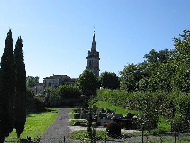
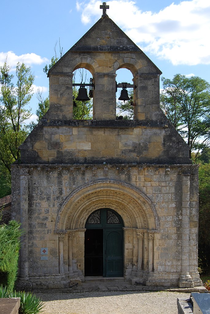
Sadirac (Sadirac)

- commune in Gironde, France
- Country:

- Postal Code: 33670
- Coordinates: 44° 46' 53" N, 0° 24' 36" E


- GPS tracks (wikiloc): [Link]
- Area: 19.11 sq km
- Population: 4119
- Web site: http://www.mairie-sadirac.fr
- Wikipedia en: wiki(en)
- Wikipedia: wiki(fr)
- Wikidata storage: Wikidata: Q622725
- Wikipedia Commons Category: [Link]
- Freebase ID: [/m/03ns0pl]
- GeoNames ID: Alt: [6454019]
- SIREN number: [213303639]
- BnF ID: [152564134]
- INSEE municipality code: 33363
Shares border with regions:


Madirac
- commune in Gironde, France
- Country:
- Postal Code: 33670
- Coordinates: 44° 45' 48" N, 0° 24' 15" E
- GPS tracks (wikiloc): [Link]
- Area: 1.86 sq km
- Population: 226
- Web site: [Link]


Créon
- commune in Gironde, France
- Country:
- Postal Code: 33670
- Coordinates: 44° 46' 28" N, 0° 20' 53" E
- GPS tracks (wikiloc): [Link]
- Area: 8.02 sq km
- Population: 4579
- Web site: [Link]


Le Pout
- commune in Gironde, France
- Country:
- Postal Code: 33670
- Coordinates: 44° 48' 8" N, 0° 21' 37" E
- GPS tracks (wikiloc): [Link]
- Area: 3.93 sq km
- Population: 589
- Web site: [Link]

Lignan-de-Bordeaux
- commune in Gironde, France
- Country:
- Postal Code: 33360
- Coordinates: 44° 47' 46" N, 0° 25' 40" E
- GPS tracks (wikiloc): [Link]
- Area: 8.94 sq km
- Population: 808
- Web site: [Link]

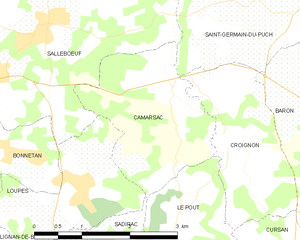
Camarsac
- commune in Gironde, France
- Country:
- Postal Code: 33750
- Coordinates: 44° 49' 57" N, 0° 21' 53" E
- GPS tracks (wikiloc): [Link]
- Area: 5.35 sq km
- Population: 993
- Web site: [Link]


Cursan
- commune in Gironde, France
- Country:
- Postal Code: 33670
- Coordinates: 44° 48' 13" N, 0° 20' 14" E
- GPS tracks (wikiloc): [Link]
- Area: 6.07 sq km
- Population: 641
- Web site: [Link]


Saint-Caprais-de-Bordeaux
- commune in Gironde, France
- Country:
- Postal Code: 33880
- Coordinates: 44° 45' 2" N, 0° 26' 10" E
- GPS tracks (wikiloc): [Link]
- Area: 10.26 sq km
- Population: 3049
- Web site: [Link]
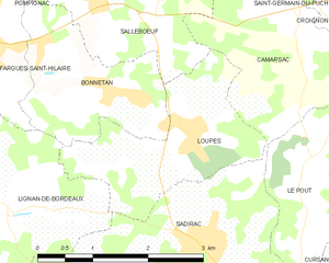
Loupes
- commune in Gironde, France
- Country:
- Postal Code: 33370
- Coordinates: 44° 48' 19" N, 0° 23' 36" E
- GPS tracks (wikiloc): [Link]
- Area: 4.87 sq km
- Population: 746
- Web site: [Link]

Saint-Genès-de-Lombaud
- commune in Gironde, France
- Country:
- Postal Code: 33670
- Coordinates: 44° 45' 12" N, 0° 22' 54" E
- GPS tracks (wikiloc): [Link]
- Area: 6.14 sq km
- Population: 378
- Web site: [Link]