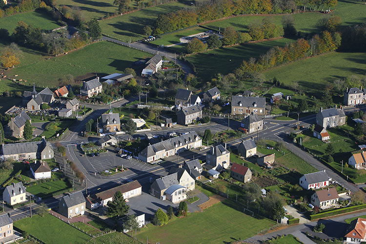
Saint-Clément-Rancoudray (Saint-Clément-Rancoudray)

- commune in Manche, France
- Country:

- Postal Code: 50140
- Coordinates: 48° 40' 28" N, 0° 53' 12" E


- GPS tracks (wikiloc): [Link]
- AboveSeaLevel: 315 м m
- Area: 32.1 sq km
- Population: 545
- Wikipedia en: wiki(en)
- Wikipedia: wiki(fr)
- Wikidata storage: Wikidata: Q1103491
- Wikipedia Commons Category: [Link]
- Freebase ID: [/m/03nxblx]
- Freebase ID: [/m/03nxblx]
- SIREN number: [215004565]
- SIREN number: [215004565]
- BnF ID: [15262430z]
- BnF ID: [15262430z]
- INSEE municipality code: 50456
- INSEE municipality code: 50456
Shares border with regions:


Barenton
- commune in Manche, France
- Country:
- Postal Code: 50720
- Coordinates: 48° 35' 57" N, 0° 49' 55" E
- GPS tracks (wikiloc): [Link]
- Area: 34.88 sq km
- Population: 1190
- Web site: [Link]


Saint-Jean-du-Corail
- former commune in Manche, France
- Country:
- Postal Code: 50140
- Coordinates: 48° 36' 33" N, 0° 54' 33" E
- GPS tracks (wikiloc): [Link]
- Area: 14.04 sq km
- Population: 243


Chérencé-le-Roussel
- former commune in Manche, France
- Country:
- Postal Code: 50520
- Coordinates: 48° 42' 31" N, 1° 1' 1" E
- GPS tracks (wikiloc): [Link]
- Area: 10.95 sq km
- Population: 305


Bion
- former commune in Manche, France
- Country:
- Postal Code: 50140
- Coordinates: 48° 37' 11" N, 0° 55' 9" E
- GPS tracks (wikiloc): [Link]
- Area: 12.67 sq km
- Population: 378


Sourdeval
- commune in Manche, France
- Country:
- Postal Code: 50150
- Coordinates: 48° 43' 24" N, 0° 55' 15" E
- GPS tracks (wikiloc): [Link]
- Area: 36.12 sq km
- Population: 2690
- Web site: [Link]


Le Neufbourg
- commune in Manche, France
- Country:
- Postal Code: 50140
- Coordinates: 48° 39' 25" N, 0° 56' 52" E
- GPS tracks (wikiloc): [Link]
- Area: 2.25 sq km
- Population: 426

Saint-Barthélemy
- commune in Manche, France
- Country:
- Postal Code: 50140
- Coordinates: 48° 40' 53" N, 0° 57' 10" E
- GPS tracks (wikiloc): [Link]
- Area: 6.81 sq km
- Population: 328


Ger
- commune in Manche, France
- Country:
- Postal Code: 50850
- Coordinates: 48° 40' 54" N, 0° 47' 19" E
- GPS tracks (wikiloc): [Link]
- Area: 39.78 sq km
- Population: 821