Saint-Didier (Saint-Didier)

- commune in Ille-et-Vilaine, France
- Country:

- Postal Code: 35220
- Coordinates: 48° 5' 41" N, 1° 22' 18" E


- GPS tracks (wikiloc): [Link]
- Area: 14.14 sq km
- Population: 1990
- Web site: http://www.saintdidier35.fr
- Wikipedia en: wiki(en)
- Wikipedia: wiki(fr)
- Wikidata storage: Wikidata: Q963301
- Wikipedia Commons Category: [Link]
- Freebase ID: [/m/03mf4xx]
- Freebase ID: [/m/03mf4xx]
- Freebase ID: [/m/03mf4xx]
- GeoNames ID: Alt: [6432823]
- GeoNames ID: Alt: [6432823]
- GeoNames ID: Alt: [6432823]
- SIREN number: [213502644]
- SIREN number: [213502644]
- SIREN number: [213502644]
- BnF ID: [15257206j]
- BnF ID: [15257206j]
- BnF ID: [15257206j]
- OSM relation ID: [145262]
- OSM relation ID: [145262]
- OSM relation ID: [145262]
- INSEE municipality code: 35264
- INSEE municipality code: 35264
- INSEE municipality code: 35264
Shares border with regions:

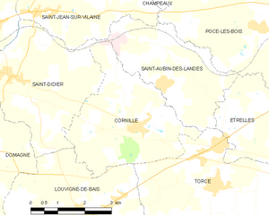
Cornillé
- commune in Ille-et-Vilaine, France
- Country:
- Postal Code: 35500
- Coordinates: 48° 4' 49" N, 1° 18' 25" E
- GPS tracks (wikiloc): [Link]
- AboveSeaLevel: 85 м m
- Area: 12.47 sq km
- Population: 969


Domagné
- commune in Ille-et-Vilaine, France
- Country:
- Postal Code: 35113
- Coordinates: 48° 4' 13" N, 1° 23' 29" E
- GPS tracks (wikiloc): [Link]
- Area: 29 sq km
- Population: 2290
- Web site: [Link]

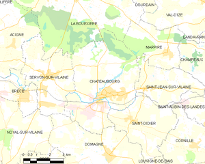
Châteaubourg
- commune in Ille-et-Vilaine, France
- Country:
- Postal Code: 35220
- Coordinates: 48° 6' 40" N, 1° 24' 12" E
- GPS tracks (wikiloc): [Link]
- Area: 28.6 sq km
- Population: 6917
- Web site: [Link]

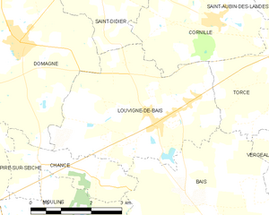
Louvigné-de-Bais
- commune in Ille-et-Vilaine, France
- Country:
- Postal Code: 35680
- Coordinates: 48° 2' 55" N, 1° 19' 50" E
- GPS tracks (wikiloc): [Link]
- Area: 15.37 sq km
- Population: 1845
- Web site: [Link]


Saint-Jean-sur-Vilaine
- commune in Ille-et-Vilaine, France
- Country:
- Postal Code: 35220
- Coordinates: 48° 7' 1" N, 1° 21' 39" E
- GPS tracks (wikiloc): [Link]
- Area: 10.73 sq km
- Population: 1139
- Web site: [Link]