Saint-Geniez-ô-Merle (Saint-Geniez-ô-Merle)
- commune in Corrèze, France
- Country:

- Postal Code: 19220
- Coordinates: 45° 4' 59" N, 2° 3' 51" E


- GPS tracks (wikiloc): [Link]
- Area: 15.83 sq km
- Population: 94
- Wikipedia en: wiki(en)
- Wikipedia: wiki(fr)
- Wikidata storage: Wikidata: Q666871
- Wikipedia Commons Category: [Link]
- Freebase ID: [/m/03mf_qp]
- SIREN number: [211920509]
- BnF ID: [152498410]
- INSEE municipality code: 19205
Shares border with regions:

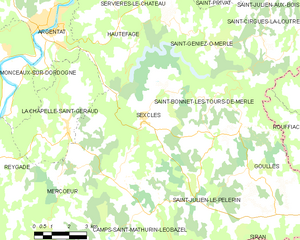
Sexcles
- commune in Corrèze, France
- Country:

- Postal Code: 19430
- Coordinates: 45° 2' 49" N, 2° 0' 29" E


- GPS tracks (wikiloc): [Link]
- Area: 25.91 sq km
- Population: 234


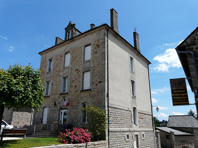
Hautefage
- commune in Corrèze, France
- Country:

- Postal Code: 19400
- Coordinates: 45° 4' 57" N, 2° 0' 4" E


- GPS tracks (wikiloc): [Link]
- Area: 24.06 sq km
- Population: 310
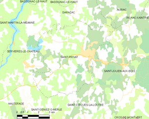
Saint-Privat
- commune in Corrèze, France
- Country:

- Postal Code: 19220
- Coordinates: 45° 8' 18" N, 2° 5' 56" E


- GPS tracks (wikiloc): [Link]
- Area: 32.85 sq km
- Population: 1085


Saint-Bonnet-les-Tours-de-Merle
- commune in Corrèze, France
- Country:

- Postal Code: 19430
- Coordinates: 45° 3' 36" N, 2° 3' 43" E


- GPS tracks (wikiloc): [Link]
- Area: 5.94 sq km
- Population: 53


Servières-le-Château
- commune in Corrèze, France
- Country:

- Postal Code: 19220
- Coordinates: 45° 7' 49" N, 2° 1' 30" E


- GPS tracks (wikiloc): [Link]
- Area: 24.24 sq km
- Population: 633


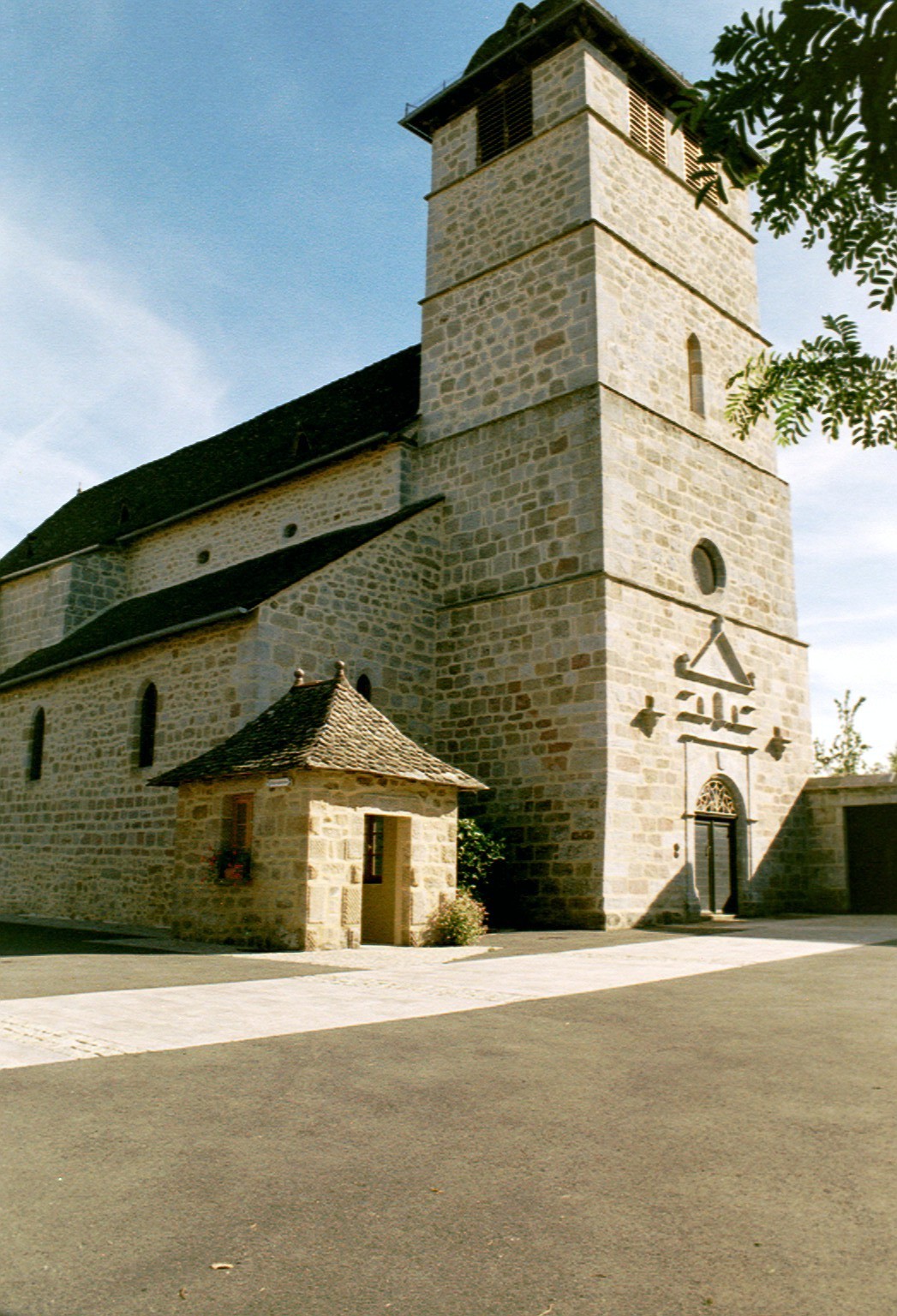
Saint-Cirgues-la-Loutre
- commune in Corrèze, France
- Country:

- Postal Code: 19220
- Coordinates: 45° 4' 43" N, 2° 5' 55" E


- GPS tracks (wikiloc): [Link]
- Area: 18.41 sq km
- Population: 175

Rouffiac
- commune in Cantal, France
- Country:

- Postal Code: 15150
- Coordinates: 45° 1' 22" N, 2° 8' 14" E


- GPS tracks (wikiloc): [Link]
- Area: 23.12 sq km
- Population: 207
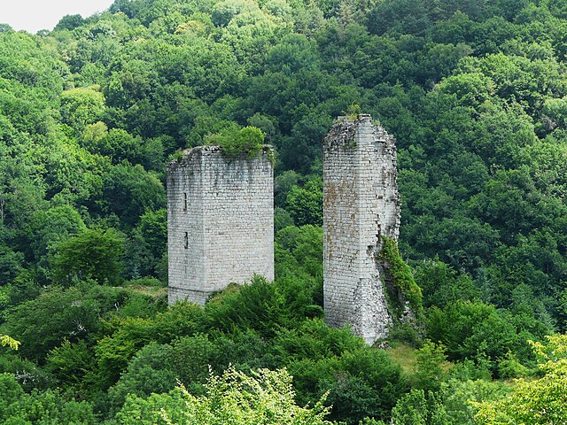

Goulles
- commune in Corrèze, France
- Country:

- Postal Code: 19430
- Coordinates: 45° 2' 33" N, 2° 4' 47" E


- GPS tracks (wikiloc): [Link]
- Area: 33.4 sq km
- Population: 321
