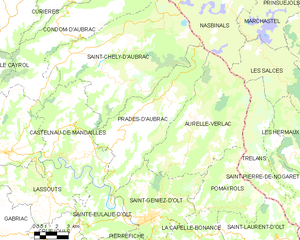
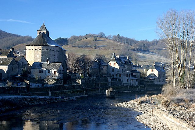
Saint-Geniez-d'Olt (Saint-Geniez-d'Olt)
- former commune in Aveyron, France
- Country:

- Postal Code: 12130
- Coordinates: 44° 27' 55" N, 2° 58' 25" E


- GPS tracks (wikiloc): [Link]
- Area: 35.49 sq km
- Population: 2041
- Web site: http://www.st-geniez-dolt.com
- Wikipedia en: wiki(en)
- Wikipedia: wiki(fr)
- Wikidata storage: Wikidata: Q1087231
- Wikipedia Commons Category: [Link]
- Freebase ID: [/m/0dy6wd]
- BnF ID: [152472008]
- VIAF ID: Alt: [248281195]
- archINFORM location ID: [7071]
- PACTOLS thesaurus ID: [pcrtucO5qqRAU4]
- INSEE municipality code: 12224
Shares border with regions:


La Capelle-Bonance
- commune in Aveyron, France
- Country:

- Postal Code: 12130
- Coordinates: 44° 26' 32" N, 3° 0' 44" E


- GPS tracks (wikiloc): [Link]
- Area: 14.12 sq km
- Population: 93


Aurelle-Verlac
- former commune in Aveyron, France
- Country:

- Postal Code: 12130
- Coordinates: 44° 30' 22" N, 3° 0' 27" E


- GPS tracks (wikiloc): [Link]
- Area: 54.68 sq km
- Population: 159


Prades-d'Aubrac
- commune in Aveyron, France
- Country:

- Postal Code: 12470
- Coordinates: 44° 32' 1" N, 2° 56' 19" E


- GPS tracks (wikiloc): [Link]
- Area: 46.64 sq km
- Population: 417
- Web site: [Link]


Saint-Saturnin-de-Lenne
- commune in Aveyron, France
- Country:

- Postal Code: 12560
- Coordinates: 44° 25' 26" N, 3° 1' 4" E


- GPS tracks (wikiloc): [Link]
- Area: 33.81 sq km
- Population: 314
- Web site: [Link]


Saint-Martin-de-Lenne
- commune in Aveyron, France
- Country:

- Postal Code: 12130
- Coordinates: 44° 25' 53" N, 2° 57' 54" E


- GPS tracks (wikiloc): [Link]
- Area: 9.48 sq km
- Population: 298


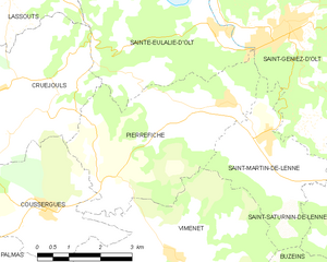
Pierrefiche
- commune in Aveyron, France
- Country:

- Postal Code: 12130
- Coordinates: 44° 26' 37" N, 2° 56' 53" E


- GPS tracks (wikiloc): [Link]
- Area: 17.1 sq km
- Population: 268


Sainte-Eulalie-d'Olt
- commune in Aveyron, France
- Country:

- Postal Code: 12130
- Coordinates: 44° 27' 52" N, 2° 56' 44" E


- GPS tracks (wikiloc): [Link]
- Area: 17.48 sq km
- Population: 378


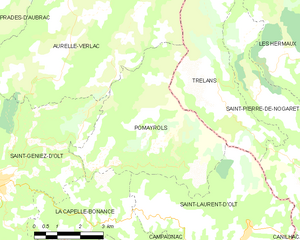
Pomayrols
- commune in Aveyron, France
- Country:

- Postal Code: 12130
- Coordinates: 44° 28' 17" N, 3° 1' 29" E


- GPS tracks (wikiloc): [Link]
- Area: 23.1 sq km
- Population: 125
