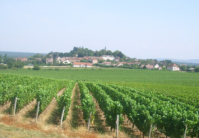
Saint-Germain-lès-Buxy (Saint-Germain-lès-Buxy)

- commune in Saône-et-Loire, France
- Country:

- Postal Code: 71390
- Coordinates: 46° 42' 38" N, 4° 46' 18" E


- GPS tracks (wikiloc): [Link]
- Area: 13.42 sq km
- Population: 276
- Web site: http://www.saint-germain-les-buxy.fr
- Wikipedia en: wiki(en)
- Wikipedia: wiki(fr)
- Wikidata storage: Wikidata: Q1626640
- Wikipedia Commons Category: [Link]
- Wikipedia Commons Maps Category: [Link]
- Freebase ID: [/m/03qh2_b]
- Freebase ID: [/m/03qh2_b]
- SIREN number: [217104223]
- SIREN number: [217104223]
- BnF ID: [152733931]
- BnF ID: [152733931]
- INSEE municipality code: 71422
- INSEE municipality code: 71422
Shares border with regions:


Granges
- commune in Saône-et-Loire, France
- Country:
- Postal Code: 71390
- Coordinates: 46° 43' 48" N, 4° 44' 58" E
- GPS tracks (wikiloc): [Link]
- Area: 10.83 sq km
- Population: 543


Saint-Ambreuil
- commune in Saône-et-Loire, France
- Country:
- Postal Code: 71240
- Coordinates: 46° 41' 30" N, 4° 51' 36" E
- GPS tracks (wikiloc): [Link]
- Area: 18.26 sq km
- Population: 517
- Web site: [Link]


La Charmée
- commune in Saône-et-Loire, France
- Country:
- Postal Code: 71100
- Coordinates: 46° 43' 11" N, 4° 47' 39" E
- GPS tracks (wikiloc): [Link]
- Area: 13.95 sq km
- Population: 695
- Web site: [Link]

Jully-lès-Buxy
- commune in Saône-et-Loire, France
- Country:
- Postal Code: 71390
- Coordinates: 46° 41' 25" N, 4° 41' 44" E
- GPS tracks (wikiloc): [Link]
- Area: 16.63 sq km
- Population: 359
- Web site: [Link]


Buxy
- commune in Saône-et-Loire, France
- Country:
- Postal Code: 71390
- Coordinates: 46° 42' 42" N, 4° 41' 48" E
- GPS tracks (wikiloc): [Link]
- AboveSeaLevel: 266 м m
- Area: 11.92 sq km
- Population: 2101