Saint-Gildas-des-Bois (Saint-Gildas-des-Bois)

- commune in Loire-Atlantique, France
- Country:

- Postal Code: 44530
- Coordinates: 47° 30' 59" N, 2° 2' 18" E


- GPS tracks (wikiloc): [Link]
- Area: 33.42 sq km
- Population: 3751
- Web site: http://www.saintgildasdesbois.fr
- Wikipedia en: wiki(en)
- Wikipedia: wiki(fr)
- Wikidata storage: Wikidata: Q1064546
- Wikipedia Commons Category: [Link]
- Freebase ID: [/m/03nwcxw]
- Freebase ID: [/m/03nwcxw]
- GeoNames ID: Alt: [6434514]
- GeoNames ID: Alt: [6434514]
- SIREN number: [214401614]
- SIREN number: [214401614]
- BnF ID: [152603306]
- BnF ID: [152603306]
- VIAF ID: Alt: [130421819]
- VIAF ID: Alt: [130421819]
- Library of Congress authority ID: Alt: [n2010001422]
- Library of Congress authority ID: Alt: [n2010001422]
- INSEE municipality code: 44161
- INSEE municipality code: 44161
Shares border with regions:


Guenrouet
- commune in Loire-Atlantique, France
- Country:
- Postal Code: 44530
- Coordinates: 47° 31' 9" N, 1° 57' 19" E
- GPS tracks (wikiloc): [Link]
- Area: 69.9 sq km
- Population: 3322
- Web site: [Link]


Missillac
- commune in Loire-Atlantique, France
- Country:
- Postal Code: 44780
- Coordinates: 47° 28' 56" N, 2° 9' 32" E
- GPS tracks (wikiloc): [Link]
- Area: 59.55 sq km
- Population: 5199
- Web site: [Link]
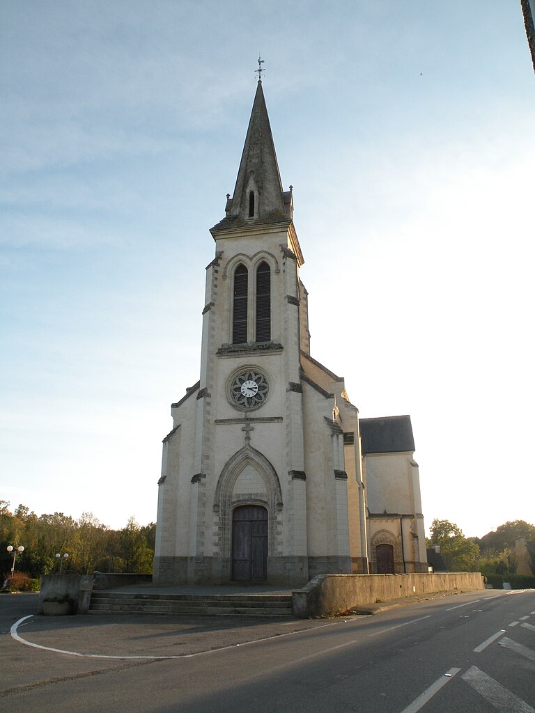
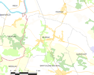
Sévérac
- commune in Loire-Atlantique, France
- Country:
- Postal Code: 44530
- Coordinates: 47° 33' 0" N, 2° 4' 36" E
- GPS tracks (wikiloc): [Link]
- Area: 22.41 sq km
- Population: 1632
- Web site: [Link]


Pontchâteau
- commune in Loire-Atlantique, France
- Country:
- Postal Code: 44160
- Coordinates: 47° 26' 17" N, 2° 5' 24" E
- GPS tracks (wikiloc): [Link]
- Area: 55.79 sq km
- Population: 10604
- Web site: [Link]


Drefféac
- commune in Loire-Atlantique, France
- Country:
- Postal Code: 44530
- Coordinates: 47° 28' 29" N, 2° 3' 28" E
- GPS tracks (wikiloc): [Link]
- Area: 14.16 sq km
- Population: 2149
- Web site: [Link]