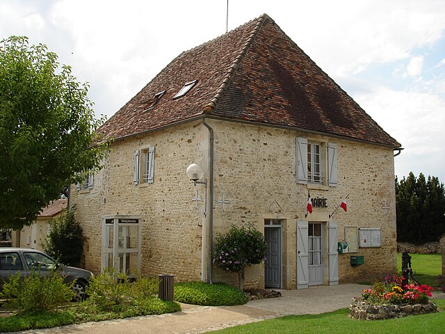
Saint-Hilaire-sur-Benaize (Saint-Hilaire-sur-Benaize)

- commune in Indre, France
- Country:

- Postal Code: 36370
- Coordinates: 46° 33' 43" N, 1° 4' 29" E


- GPS tracks (wikiloc): [Link]
- Area: 32.61 sq km
- Population: 323
- Wikipedia en: wiki(en)
- Wikipedia: wiki(fr)
- Wikidata storage: Wikidata: Q1092387
- Wikipedia Commons Category: [Link]
- Freebase ID: [/m/03nv94p]
- GeoNames ID: Alt: [2979499]
- SIREN number: [213601974]
- BnF ID: [15257501n]
- INSEE municipality code: 36197
Shares border with regions:


Concremiers
- commune in Indre, France
- Country:
- Postal Code: 36300
- Coordinates: 46° 35' 49" N, 1° 1' 0" E
- GPS tracks (wikiloc): [Link]
- Area: 28.11 sq km
- Population: 651

Mauvières
- commune in Indre, France
- Country:
- Postal Code: 36370
- Coordinates: 46° 34' 26" N, 1° 5' 19" E
- GPS tracks (wikiloc): [Link]
- Area: 23.94 sq km
- Population: 327


Béthines
- commune in Vienne, France
- Country:
- Postal Code: 86310
- Coordinates: 46° 32' 49" N, 0° 58' 33" E
- GPS tracks (wikiloc): [Link]
- Area: 37.02 sq km
- Population: 475

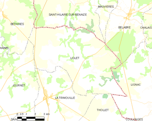
Liglet
- commune in Vienne, France
- Country:
- Postal Code: 86290
- Coordinates: 46° 30' 34" N, 1° 5' 4" E
- GPS tracks (wikiloc): [Link]
- Area: 52.53 sq km
- Population: 319